Trenta to Luknja Pass
Slovenia
I’ve done my best to make this guide accurate and useful, but I’m a hiker sharing what worked for me, not a professional guide. Always read the full Terms of Use first. This post contains affiliate links. I may earn a small commission at no extra cost to you.
Easily accessible from the Soča Valley and offering more solitude than Vršič Pass, the Luknja Pass hike is 17.2 km | 10.7 mi out and back leaves the small village of Trenta heading east into the Zadnjica valley, under the towering peaks of Triglav National Park. What begins as a moderate walk on gravel road turns into beautiful, well maintained singletrack as it climbs out of the valley and steeply up to Luknja Pass. Early in the upper valley, a short spur trails leads to a waterfall spilling down the wall below Komarča. For those who want a little more, it’s possible to summit 2,392 m | 7,848 ft Bovški Gamsovec from the pass.
Overview
Quick Stats
- Type: Out and Back
- Difficulty: Strenuous | Non-technical
- Distance: 17.2 km | 10.7 mi
- Time: 5 hr
- Elevation ↑: 1,140 m | 3,740 ft
- Highest Point: 1760 m | 5,774 ft
- Trailhead: Trenta
- Fee: Free
- Parking: Visitor Center
- Public Transport: Shuttle Bus (Free)
When to Hike
The best time to hike to the Lukjna Pass is between June and October when the trail is clear of heavy snow. The summer months offer sunny weather, warmer temps and the possibility of an afternoon thunderstorms. Always check the weather and be aware of potential thunderstorms. While the lower section travels in and out of forest through the valley, the upper bit is exposed to weather and potential lightning during storms.
Getting There
The trailhead can be accessed by free shuttle bus or own vehicle.
Worth Bringing
This is a pretty straightforward hike with no technical sections. A good rain jacket, boots or trail runners, snacks and water are essential. Some may prefer trekking poles but I don’t personally find them necessary as the trail is in great condition and there are no super steep sections.
Here are my complete day hiking essentials.
Trail Map for Trenta to Luknja Pass
Trail Conditions
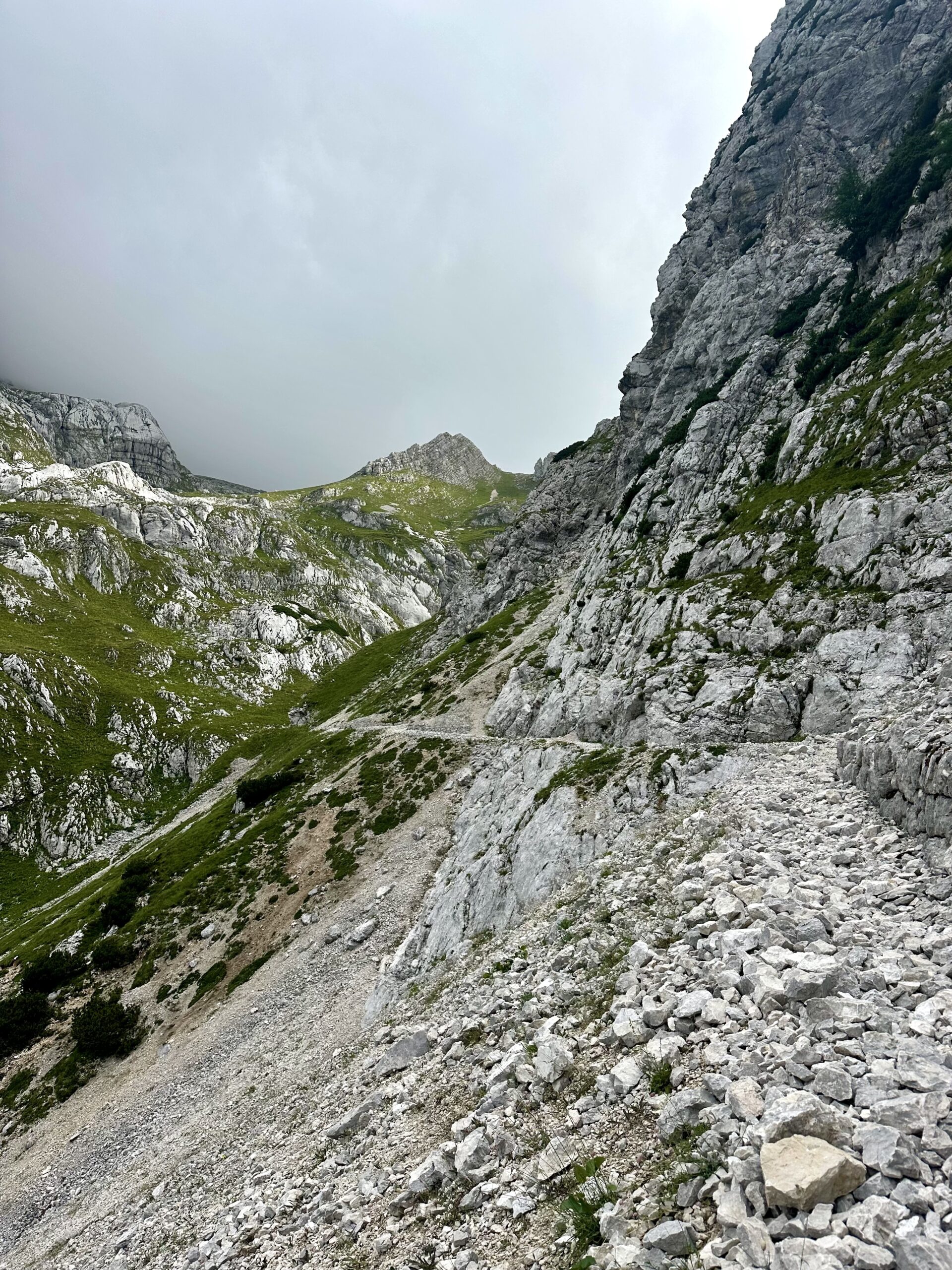
The trail is a well traveled path. It begins with a gravel road walk until the junction and view of the waterfall, then the trail turns to dirt, rock singletrack. There are some steep drop-offs as the trail climbs out of the valley however, nothing particularly worrisome.
Tips
Water
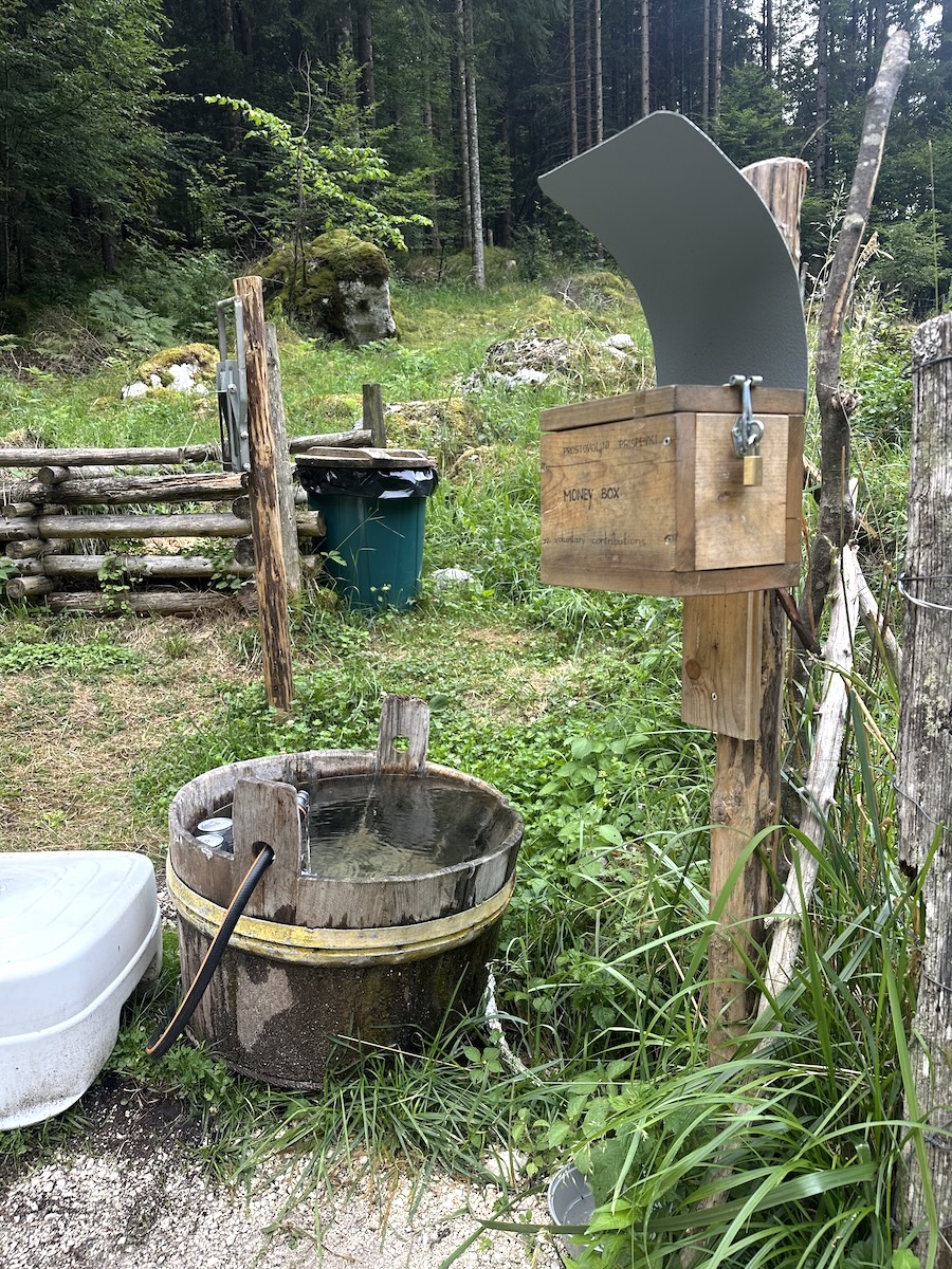
Pack 2 liters of water per person. There is an honesty drink station (cash only) near the beginning and a side trail to a waterfall before the climb. You could filter from the waterfall if needed.
Food
I’d recommend bringing a few high calorie snacks, energy bars and possibly lunch for the route. In Trenta across from the bus stop, there is a small grocery store where you can pick up a few items like bread, fruit and cheese.
Parking
Parking is available at the Triglav National Park Visitor Center or possibly at the market across the street.
Public Transport
A free shuttle bus that seats about 40 riders runs every hour. The route runs Bovec – Trenta – Soča Source – Vršič – Kranjska Gora, with additional stops along the way. The timetable can be found here.
Weather App
The best weather app for Slovenia is ARSO.
Trenta to Luknja Pass Hike Trip Report
I began my hike early in the morning leaving Kamp Triglav around 6:00 where I had been staying. As I made it into Trenta, I crossed the parking lot of the visitor center and found the trailhead. At first the trail passes a few houses before joining a small stream then crossing a foot bridge and continuing on the road.
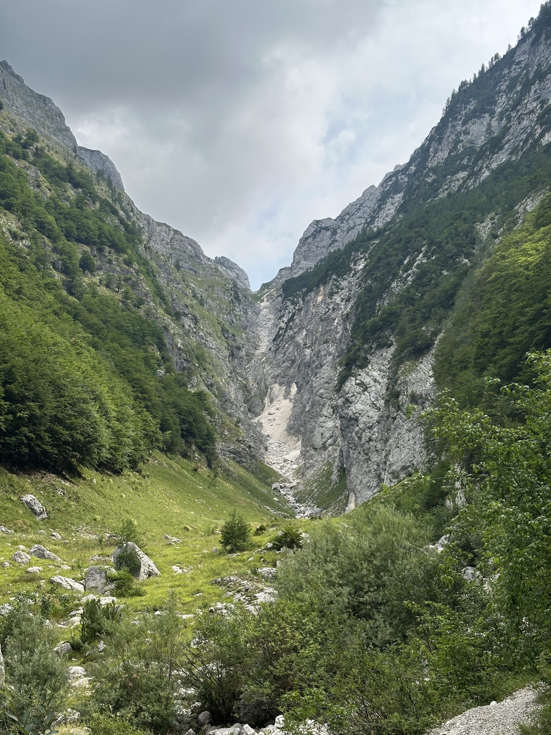
The gravel road climbs on a slight, continuous ascent through beautiful forest, flanking the Krajcarica. Waterfalls and rapids roar through the trees for most of this section.
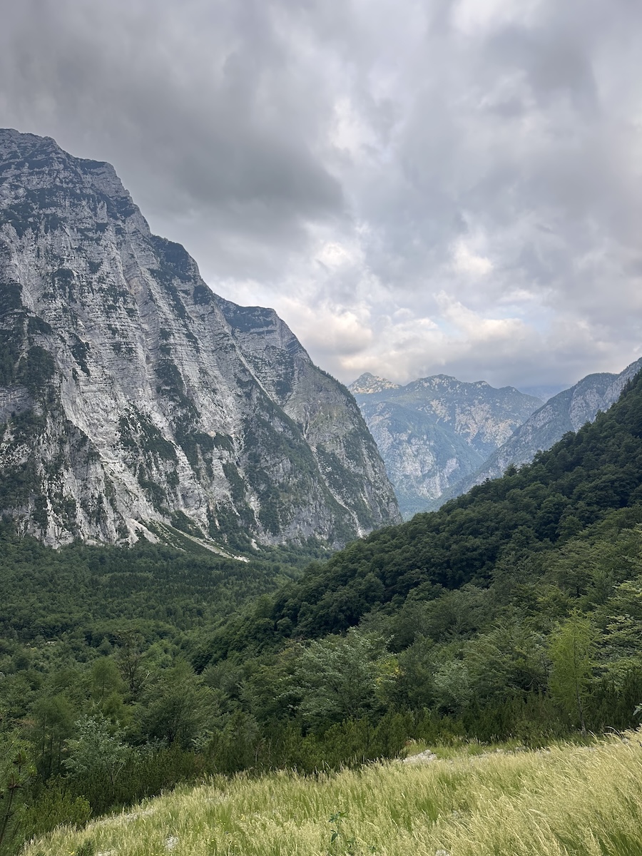
Once out of the trees, I passed a few old houses and the landscape really began to present itself. 2,000 m | 6,600 ft peaks in every direction.
At the last house, there is a small barrel fed continuously with spring water to keep an assortment of canned refreshments cold. Unfortunately, in my haste I did not bring cash. Although not necessarily in need of a deliciously sugary drink, it would have been a nice treat especially on the way back down.
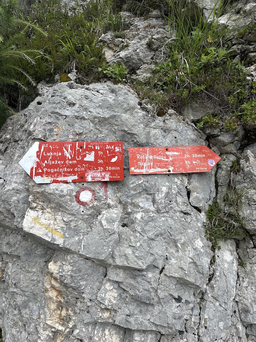
At the end of the valley floor I kept left at the signed post for Luknja, and the trail completely changed. Straight ahead the view of the waterfall and an optional spur trail out to the base. I was a bit short on time, so I didn’t take it but I think it would be a worthwhile detour if you do have the time. To the left, a clearing in the trees gave me my first view of Luknja Pass. Underfoot, the road turned to a gravel singletrack. This is where it got more fun.
Eventually reaching the ravine I’d have to climb out of. I could tell by the map that the trail hugged the right side but from the valley floor, I wasn’t quite sure how. I kept on and hit the switchbacks. The trail was carved out of rock throughout this whole area. There are some steep drops between the turns but this section is plenty wide the majority of the way and never gave me vertigo.
About halfway up the singletrack another signed junction. I went left for the pass. To the right, Koča na Doliču (2.5 hrs). I met a woman here who was on a hut to hut trek and had come over from Dolič. She’d had much better weather the day before and summited Triglav. It sounded amazing, and probably a good adventure for next time.
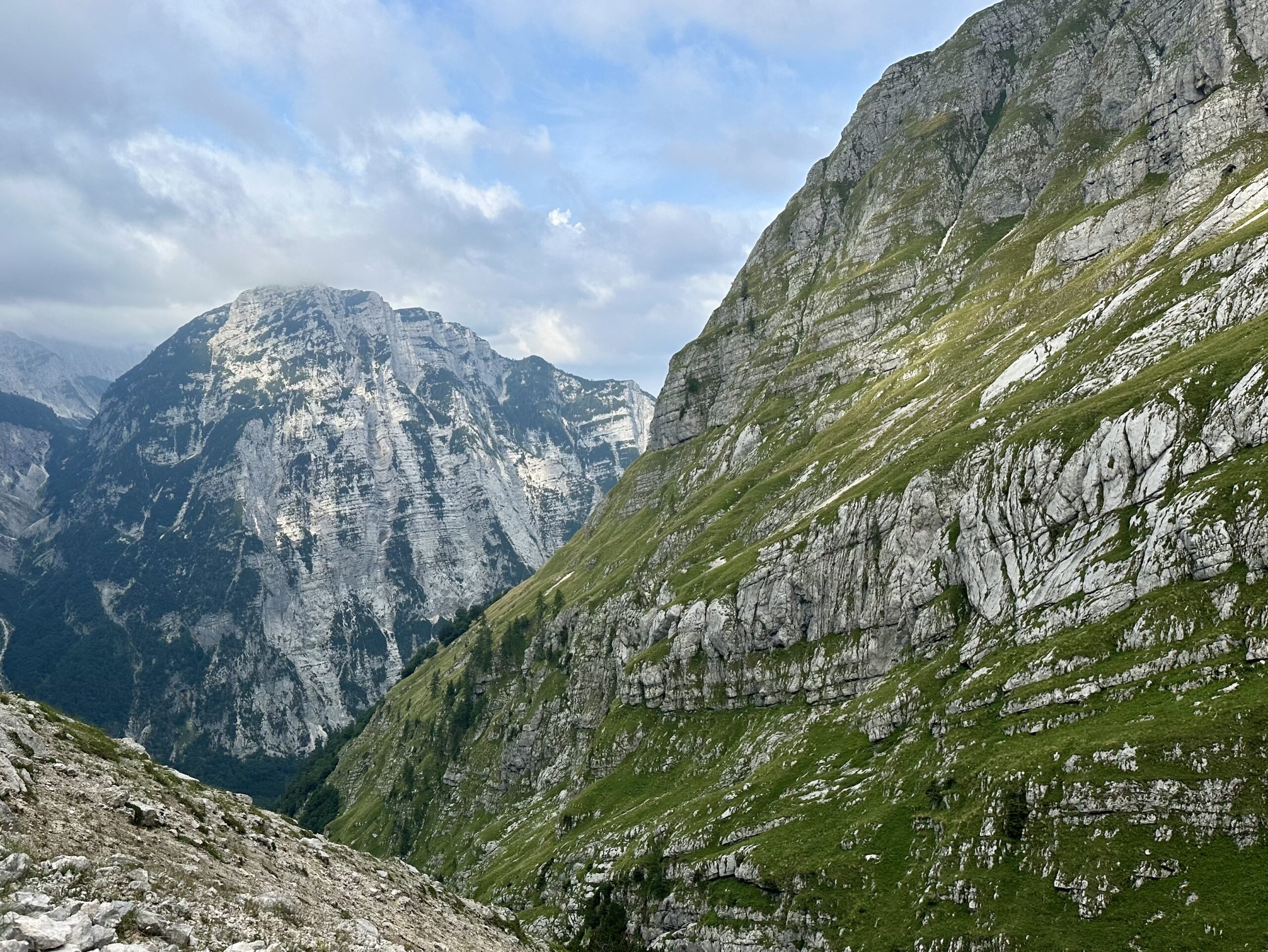
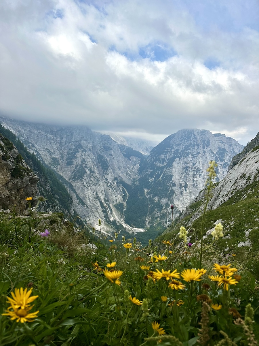
The trail straightened out while covering more ground heading north. The best part was looking across at the far side of the ravine I’d been climbing out of. My side was rock, scree and trees below. The other side was hard rock, almost completely covered in bright green grass. The thick cloud cover let out a few patches of sun that really brightened the scene.
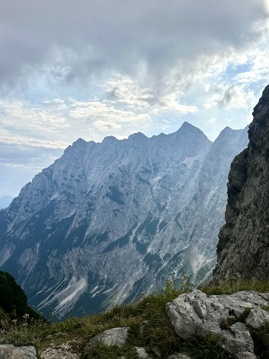
At the pass I stopped for an early lunch and talked with other hikers, all arriving from different points and headed different directions. The urge to keep going was strong. To the right a guy was heading up a via ferrata. To the left, two hikers were coming down from summiting Bovški Gamsovec. They said the far side needs a via ferrata set, but the approach from Luknja is generally good trail, a little slippery from the previous night’s rain.
I stood around, took photos and enjoyed the view for a bit longer before backtracking all the way down. Again disappointed that I didn’t have cash for a Coca-Cola at the honesty drink station.
This was my second time to Soca Valley in the last two years. Its a beautiful area and this trail in particular avoids the crowds at Vršič Pass. A few other hikes in the area definitely worth checking out is the Vršič Pass to Slemoenova Špica summit, the Great Soča Gorge, the Soča Source and the climb up Mala Mojstrovka from the Southside.