Overview
Navigating the Trail Closure
The Zion Traverse, as envisioned as a point to point hike, is no longer feasible due to the closure of the Weeping Rock trail since November 2023. A significant rockfall has rendered the trail inaccessible. For the most up-to-date information, refer to nps.gov. The following is an alternative to the traditional hike.
Intro
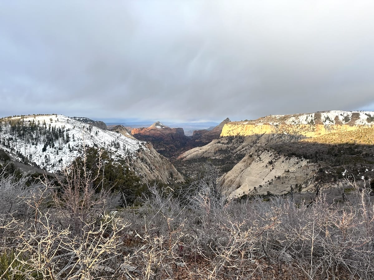
The Zion Traverse offers a challenging yet rewarding 55ish mile backpacking adventure through the heart of Zion National Park. This multi-day trek takes you through diverse landscapes, from towering sandstone cliffs and lush forests to open meadows and alpine vistas. Hikers can expect to encounter stunning views of the Virgin River, Angels Landing from high above, vibrant wildflowers, and a diverse array of wildlife. The Zion Traverse was developed as an alternative route for backpackers, offering a more remote and less crowded experience compared to the traditional trails within the main canyon. The park itself is a testament to the powerful forces of nature, sculpted over millions of years by the relentless erosion of the Virgin River through the Navajo Sandstone, creating the dramatic canyons, cliffs, and arches that make Zion so renowned.
March 12 |
Day 1: Lee Pass Trailhead to Kolob Canyon Site 8
Distance: 10.7km | 6.6mi | Time: 2.5h
Elevation: ^ 136m | 450ft
End point: Km 10.7 | Mi 6.6
Day 1 was a long day.I would have done it differently, but nonetheless, I made it to my campsite by the end of the day. I flew into Las Vegas, landing at 9:30, grabbed my bag, and took the shuttle to the rental agency. It’s nearly a 3-hour drive to the south entrance of Zion National Park. I really enjoy that drive as this part of the country is full of beautiful desert vistas, not anything like back home in North Carolina.
Picking up my Permits for the Zion Traverse
I had already secured camping permits for my hike, something that typically needs to be done months ahead of time, but since it was still very early in the season, I had no problems. I went to the backcountry office to pick them up and spoke with a ranger behind the counter. They require you to pick up the permits in person, which honestly is a great idea. They want to make sure you are up to date with the current conditions and know what to expect. I planned this trip literally a week or two before I left. So I was a bit surprised when she told me about the amount of snow still present on the west rim. The elevation difference is quite different from where I was standing. She asked if I had snowshoes with me, as no one has made it through the west rim trail without snowshoes yet. Sounded like a challenge where the winner only gets bragging rights. I only had spikes, which definitely don’t help for post-holing. Good news was that I could always turn around or bail out on a road up there. Before I left the office, she also gave me updates on water sources. This time of year, there is plenty of water; however, the springs can be impossible to find if the snow is too deep.
Getting to the Lee Pass Trailhead
I walked out of the door with permits in hand and back to my car to finish packing. The plan was to leave my car here in the lot and then get to the trailhead with a shuttle service. I found them too expensive, so I decided to walk south on the main road, stopping at the Zion Outfitter for a few freeze-dried dinners and some wag bags. I figured I’d try hitchhiking, and if that didn’t work after an hour, I’d call a Lyft. I continued walking with my thumb out and eventually made it to a coffee shop where I stopped for a bit. Finally, a large red truck stopped for me! I was so happy. The guy was a local who just got off work from one of the hotels. At the Kolob Canyons visitor center I realized that I forgot my National Parks Pass in my car so he couldn’t take me all the way to the trailhead. It was still another 4 miles from here, with the road climbing quite a bit. I jumped out of the truck and started the road walk up with my thumb out each time I heard the engine of a vehicle approaching. Not too long after, a red Mustang stopped with an older British man driving. He took me straight to the trailhead!
Ready to Start Hiking the Zion Traverse
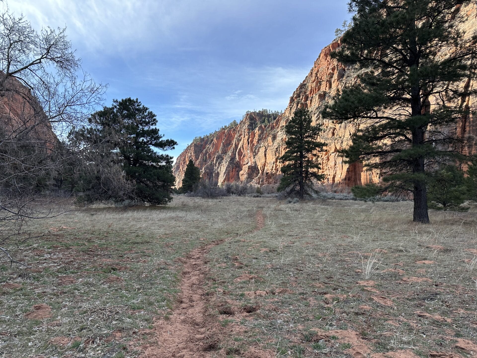
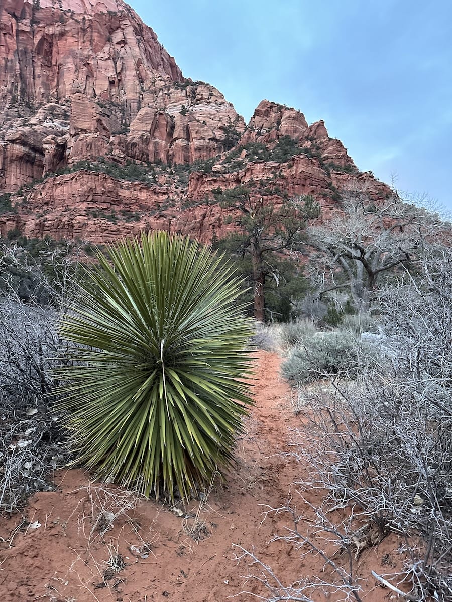
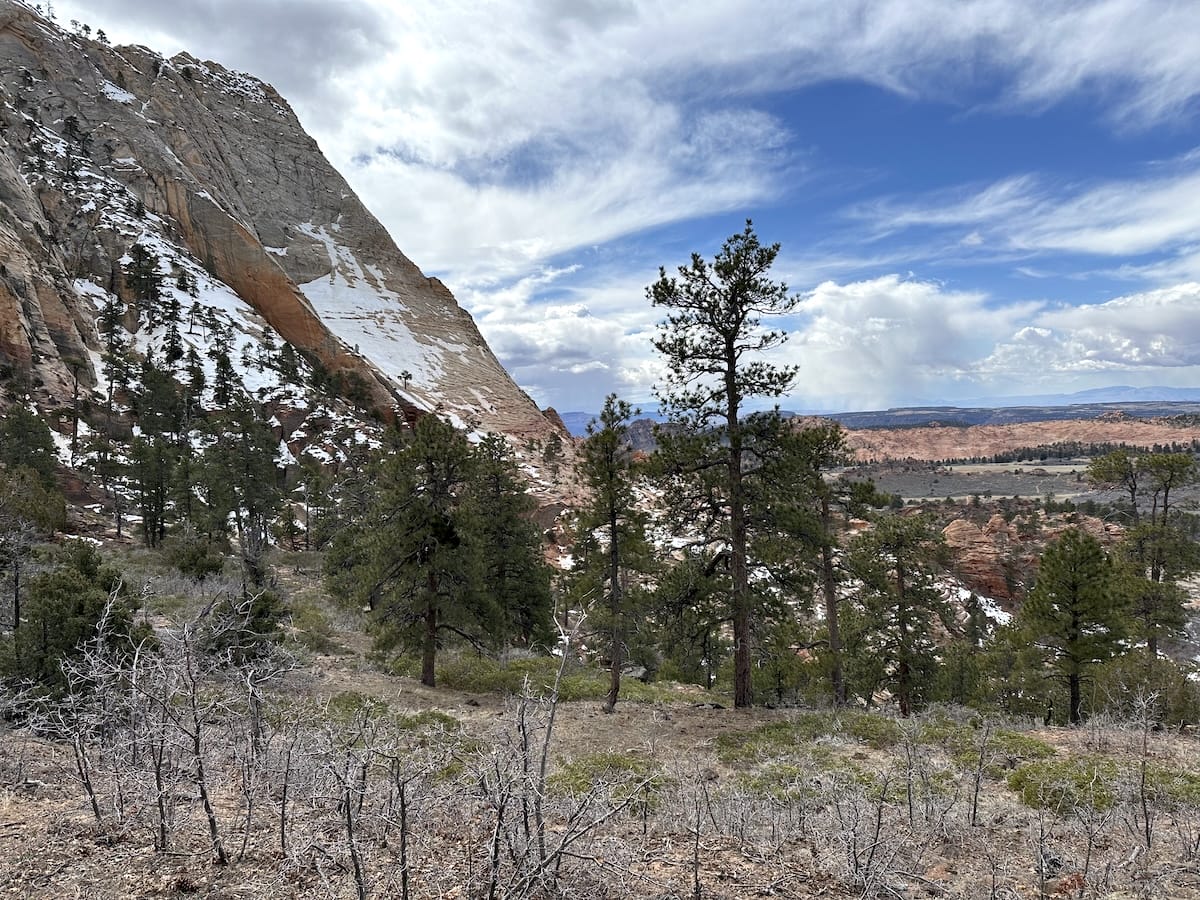
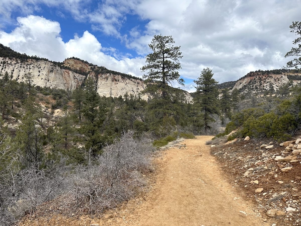
After a 5-hour early morning flight, a 3-hour drive, and 2 hitchhikes… I was there ready to begin the Zion Traverse! It was 17:45, but I only had 6 easy miles to go. The day was beautiful, now a little chilly, with blue skies and dry air. I was back in the desert and happy. I found the La Verkin Creek Trail, a short walk back down the road from the parking lot, and headed into a ravine in the desert forest. The Utah Juniper, Sagebrush, and Ponderosa pine looked and smelled beautiful. The light was getting lower in the sky as I walked towards a snow-capped red rock cliff in the distance.
La Verkin Creek
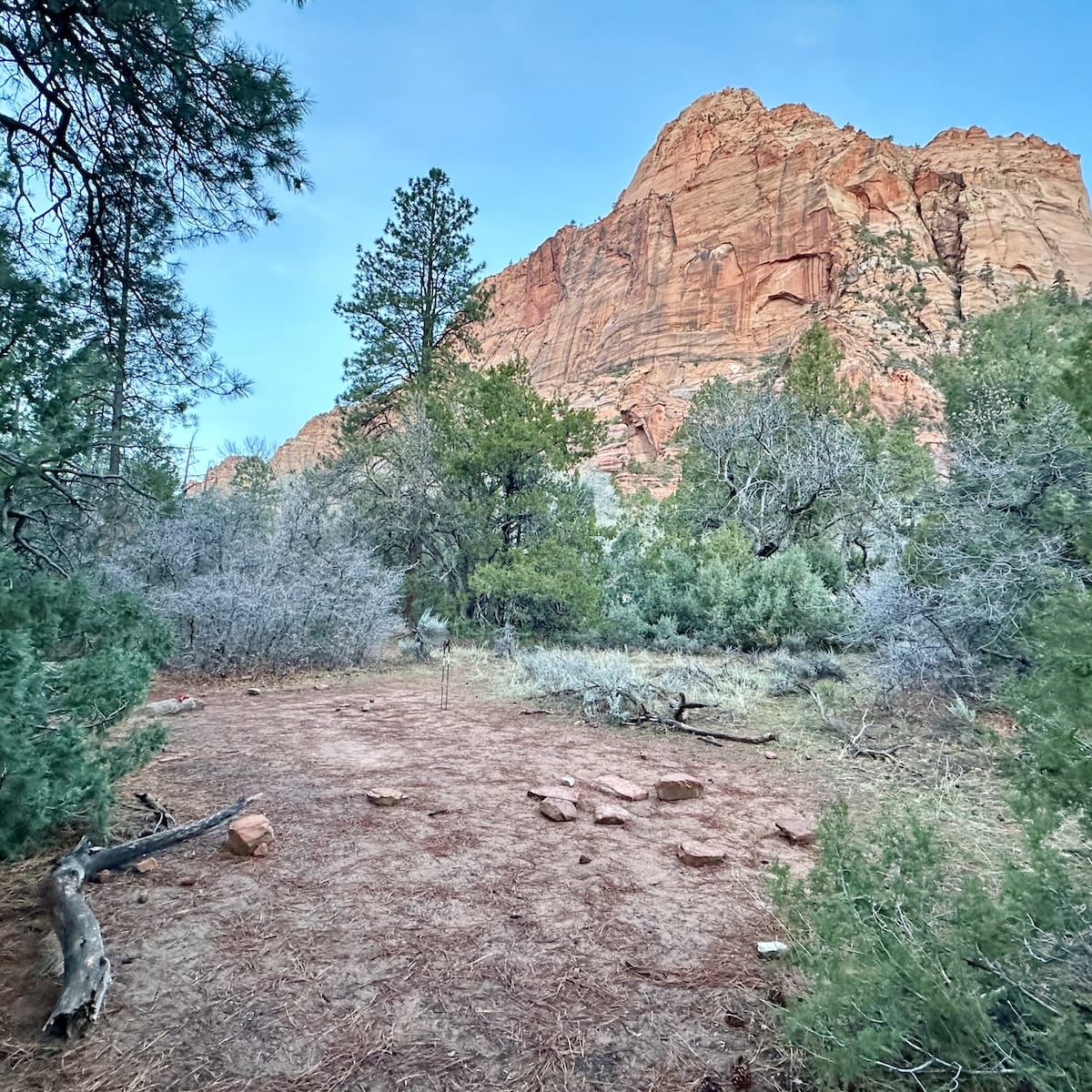
This first section of the Zion Traverse is quite easy as the trail descends gradually, flanking the impressive 7500ft peaks of Timber Top Mountain and Gregory Butte, amongst others, before making a sharp turn left west into the canyon following the La Verkin Creek. I passed a few of the lower-numbered campsites, and although they offer a bit more privacy, the downside is they aren’t nearly as beautiful as campsites 7-13. If you are lucky enough, the most preferred sites are 11, 12, and 13 as they are off the main trail. I found my site, number 8, on the left of the trail, and looked around for the perfect spot to lay my tent. There was a large boulder nearby that helped serve as a table and plenty of room for numerous tents. It was past 20:00, and I was exhausted from such a long travel day. I made my freeze-dried dinner and hopped into my tent for the night.
March 13 |
Day 2: Kolob Canyon Site 8 to West Rim Site 9
Distance: 28.5km | 14.4mi | Time: 8.5h
Elevation: ^ 1,099m | 3,605ft
End point: Km 33.8 | Mi 21
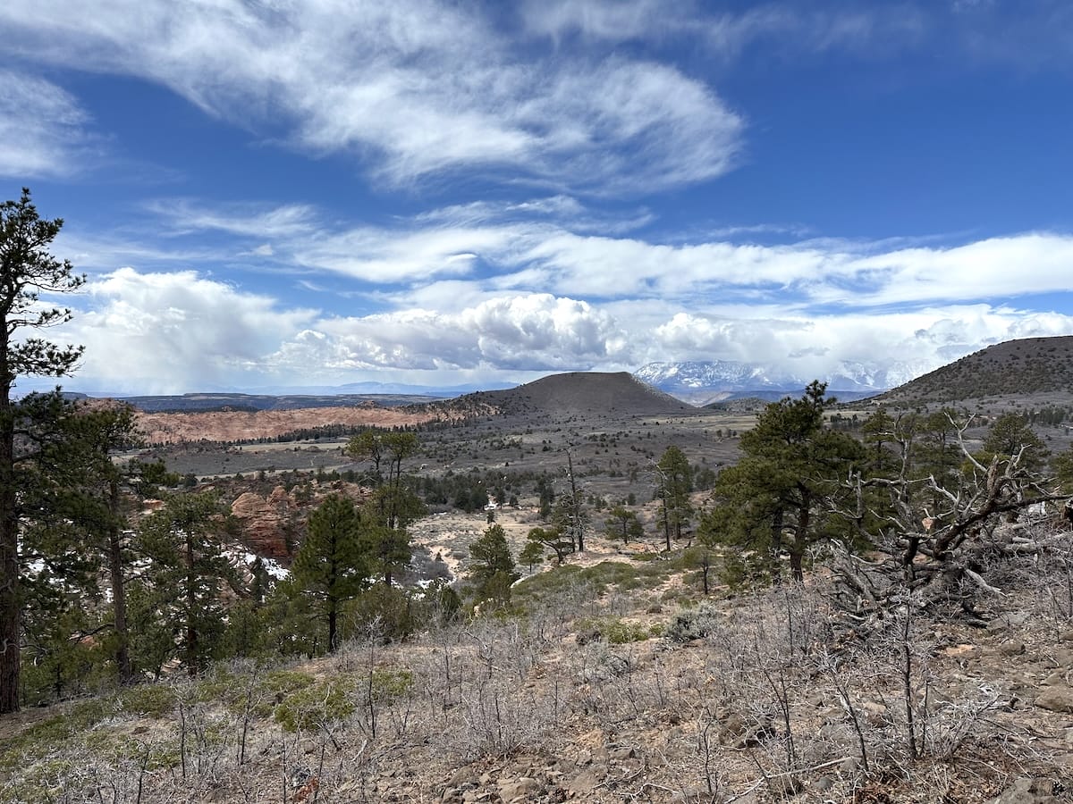
I slept great that night. I took my time in the morning to get ready and packed up. As I started to hike, the morning light was kissing the tops of the cliffs with the occasional fluffy cloud in the blue sky. I stopped at the Beatty Spring just on the other side of the creek where the trail crosses over. Filled my two bottles and continued on, now on the Hop Valley Trail heading south again. Climbing out from this junction and after a few switchbacks I was surrounded by red rock formations typical of Zion and the southwest. I always find it so fascinating of how this area was formed being an ancient seabed, then an uplifting event followed by erosion over millions of years.
Hop Valley
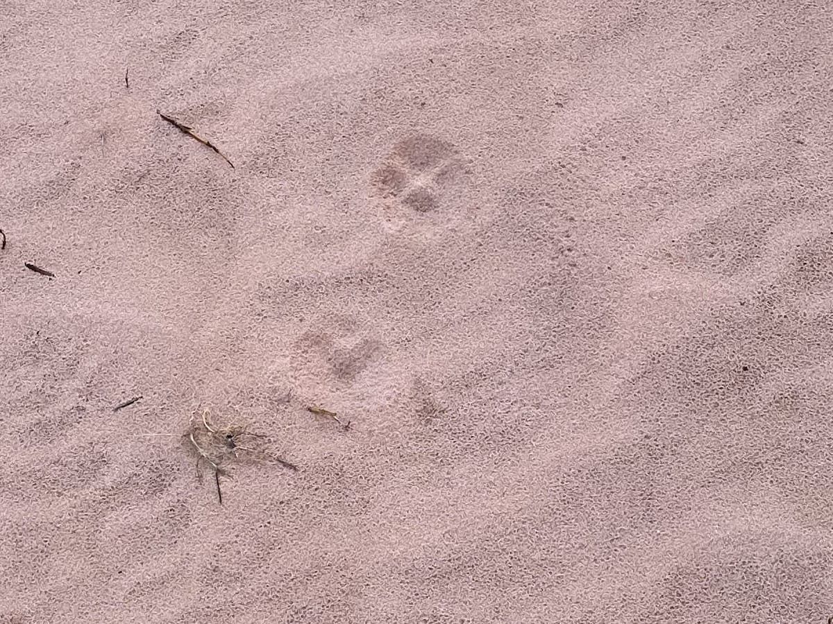
I hiked in and out of the forest for a bit, the trail was lovely from here on as it was a steady incline for the whole day but not steep. The trail opened up as I approached Hop Valley still tucked in by an enormous red rock wall the trail gets sandy in here. This is the section that gets a lot of complaints as it feels like beach walking at times. In March, the temperatures were much cooler than the busy months so the heat and sun exposure were not a thing for me. I made my way through the valley. As the trail approaches Hop Creek, it crosses over the creek in numerous spots. At a very wide, shallow section I took my shoes off to cross over but for the rest of it I was able to find good spots to jump over and stay dry. There were lots of animal tracks in the sand as I wondered who left them there. I’m definitely not an animal expert but I took some photos hoping to find an answer one day.
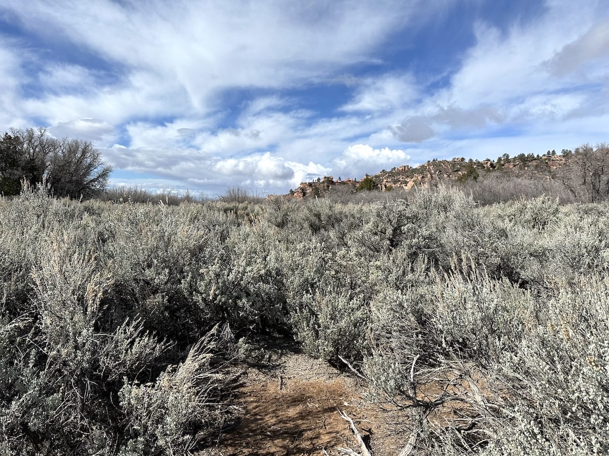
I made it to the Hop Valley Trailhead and made use of the trash can and toilet. The road was open to this point but there was absolutely nobody around. I stopped for a drink and a snack then moved on. This next section was a bit of a road walk and then 4 miles on a connector trail, probably the least enjoyable section of the trail as the road is always in sight and I was walking through sage on flat monotonous terrain. I stopped again to hang my tent and sleeping bag on an old wooden post. It had rained a little the previous night and condensation in the valley was a real problem. I wanted to dry everything out as the forecast was 16 degrees Fahrenheit that night. Plus a wet tent is heavy so I took my time to lighten my load and eat lunch in the sun while I could.
Snow in Wildcat Canyon
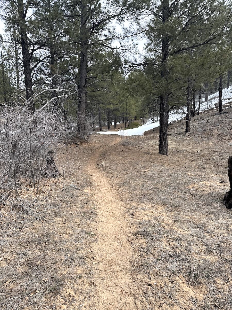
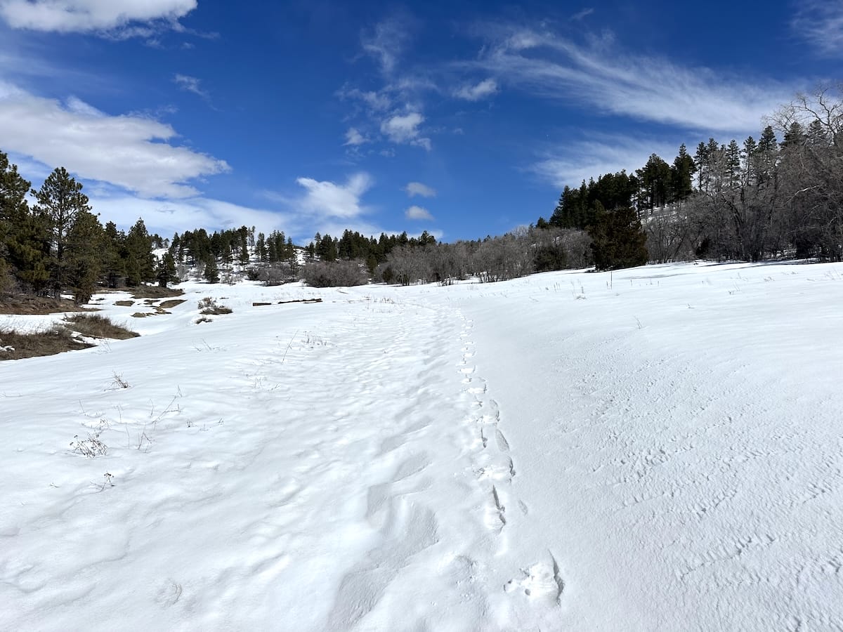
I hiked back into a smaller valley and into the forest again. This is where I found the snow. At first it was shallow and patchy. I came to the junction of the Wildcat Canyon Trail where I saw numerous footprints. This is the trail down for the super popular Subway hike in the Virgin River. The snow became more and more prevalent but I didn’t have a problem with it as I was able to stay on top of it and keep moving. There was a single track of faint boot prints that followed through Hop Valley, the trail and surroundings completely snow covered now. They must have been from a few days before as they were not very well pronounced.
With the amount of snow, it wasn’t so clear as to where I was supposed to camp based on my permit for Hop Valley. No one was around, I had only seen a passing car from the connector trail but no hikers all day. To add to that, the day was absolutely beautiful and it was 14:45 in the afternoon and so I did what I always do when I reach camp too early, I kept hiking! I thought I’d hike just a bit more and see how far I got then pitch my tent somewhere off trail. However, the snow was deep and once I left Hop Valley the trail narrowed and was more like walking on the side of a mountain without any flat spots to be seen. Not anything like the previous 20 miles of trail. I found the signed Wildcat spring and filled up my bottles for the night. It wouldn’t be until I reached the junction with the West Rim Trailhead that the terrain would start to flatten out. By this point my pace had really slowed down as I was hiking on deep snow, post-holing every third or fourth step.
Hiking to Campsite 9 on the West Rim
After the trail junction my next goal was campsite 9 on the West Rim. My permit wasn’t for this location but I don’t think any of these sites were occupied that night given the condition. It wasn’t until the last .5 mile that I really started to post-hole, every step at this point as it was late in the day and the snow had softened in the sun. I started to scan for suitable tent spots on dry ground as I continued hiking on. I was relieved when I saw the sign post for number 9. I headed down the steep hill and in the valley I found a suitable spot of dry ground that was more protected from the wind. It was going to be cold that night, I could feel the cold air dropping into to valley as I setup my tent.
March 14 |
Day 3: West Rim Site 9 to The Grotto Picnic Area
Distance: 24.3km | 15mi | Time: 8h
Elevation: ^ 481m | 1,580ft
End point: Km 57.9 | Mi 36
It did in fact get cold that night. The forecast was 16 degrees. I had my 20 degree winter bag with me but its getting old. It felt like it was 16 degrees.
A Beautiful Hike on the West Rim
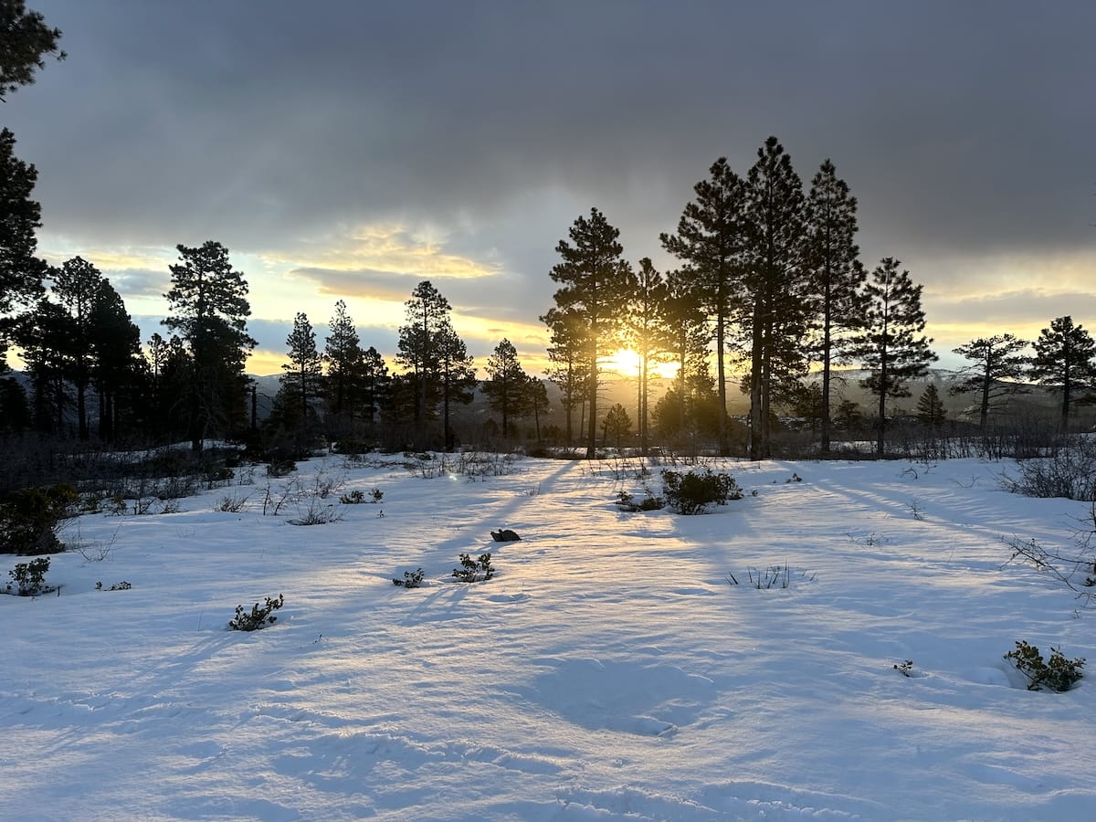
The best time to hike on top of the snow is first thing in the morning when everything has refrozen. Its more likely to hold your weight and much less likely to post-hole like the previous evening. I woke up early that day feeling really good. My next site was only 5 or 6 miles away, campsite 4. As I made it back up to the ridge-line to rejoin the West Rim trail, the sun was just starting to rise. It was still mostly dark out but as I walked south, to the east the sun started to peak over the ridge. The orange light reflecting off of the snow through the thinned out trees, I stopped to take a few photos. One of my favorite photos to date. This was a magical moment that morning.
The terrain was flat, the snow was hard and I was cruising. As the day wore on the thin overcast skies began to clear. Luckily I had my sunglasses with me. I stopped at campsite 4 for a super long lunch and to lay out in the sun for a while. I explored the area and definitely thought that campsites 3 – 6 are the place to be. They all sit near the edge of a cliff and face west into beautiful mountainous scene.
I had cell reception and tried for a last minute permit for Angel’s Landing as this would be an awesome way to finish out this section of the hike but unfortunately I was not chosen for one. It was at that point that I decided that I was going to hike down to the valley and grab my car for the next part of my adventure.
Mud on the West Rim
This next stretch of trail to campsite 1 and 2 was not fun. The snow had melted and left a trail covered in slippery mud. “Slip Slidin Away by Paul Simon” was in my head on repeat. I guess it wasn’t so bad but it was a bit annoying. Lots of times the trail would kind of turn into a small ravine with steep slopes. Every step I was trying to avoid sliding into the middle or down a small hill. The prickly bushes didn’t make the situation any better.
The Long Descent Down to the Grotto
I reached campsite 1 and for the first time in 2 days, saw some other hikers. There were a few others gathered around at a beautiful overlook just down hill from there. It was dry here. I was eager to socialize and they wanted to know the conditions higher up so it worked out well.
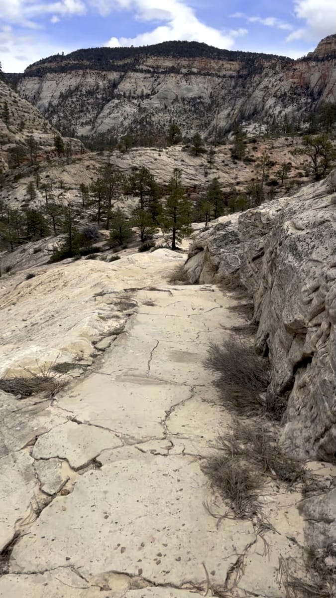
I headed further down. The trail really gets magnificent through here as it heads into slick rock that I hadn’t encountered on this trip before. At the Scout Overlook junction it got busy. This the start of the Angel’s Landing trail where you need a permit to hike further. Lots of people were going up. I matched pace with another hiker my age as we shared stories and hiked all of the way down together. I had done this section of the trail before and because its so busy I just moved on through it as quickly as possible. Its a long way down to say the least. 3,000 feet over the course of 6 or 7 miles.
In the valley it was warm, hot even. I found a trash can to throw out some things, used the restroom and jumped in line for the shuttle bus. Busy. I took the bus all the way back down to the visitor center where I had left my car.
Back at the Ranger Station
I was sure to tell the rangers I made it back out and gave them an update on the conditions. I was more excited than they were. At this point I wasn’t sure what I wanted to do. I was told the East rim was super muddy, like half of the trail. I canceled my permit for a partial refund and decided to drive east towards Kanab. The other part of my trip was going to be Buckskin Gulch, one of the most impressive slot canyons in Utah but weather came in and I didn’t feel totally safe going into the canyon. The road behind the BLM office actually washed out leaving some campers stranded at the campground on the other side. Thats really a whole different story but in the end a couple nights later I came back to Zion to finish the traverse.
Back at the office I picked up my permit and was again warned about the amount of mud. I was also told nobody was up there that night which sounded super awesome.
March 16 |
Day 4: Zion East Entrance Parking Lot to Junction with Cable Mountain Trail
Distance: 12km | 7.5mi | Time: 3h
Elevation: ^ 530m | 1,738ft
End point: Km 70 | Mi 43.5
Zion Traverse Trail Closure Variant
After discussing with the ranger, we decided that Cable Mountain would be a good destination to complete my Zion Traverse. The typical hike would summit Observation Point after climbing the Weeping Rock Trail and then hiking out on either the East Mesa Trail heading towards the ranch or taking the East Rim Trail back to the east entrance of the park. My hike was going to be an out and back to a amazing viewpoint with historical significance.
I drove back up highway 9 and through the Carmel Tunnel again; such a scenic drive and parked at the east rim trailhead. Packed up my bag for 1 more night out and started hiking.
Zion National Park East Rim
The first half of the trail was great. Quiet, graded, wide paths. I hiked through the valley happy to be there again. After the first climb I arrived at Jolley Gulch, a very large and beautiful cut out in the land where the small creek has done some magnificent work over the years. I hiked on further climbing higher and higher at a gradual pace and into the forest. The trail started to get muddy. As I continued, I began to hike through more patchy snow but the mud was relentless. I was so happy I had my trekking poles at this point! I made it to the junction, found the spring and loaded up on water for the night and the next day. My destination wasn’t much further, only 3 kms but the mud and slopes of the trail made for some really tricky hiking. It was if the whole trail was covered in watered down peanut butter. Goopy, sticky, and slippery. My shoes were covered in mud and I had no traction at all for a large part of the hike. It was nothing like the dry desert photos you see in all of the books. The rangers were right but I was determined.
At the junction for Cable Mountain there was a huge meadow with spotty tree cover. It was a mix of snow mud and grass. After looking around for a bit I found my secluded campsite off the trail, made my dinner and curled up for the night. It was going to be another cold night below freezing. I had a plan for the next day. I wanted to reach the overlook early in the morning for the best light and hike on frozen mud.
March 17 |
Day 5: Junction with Cable Mountain Trail to Cable Mountain to Zion East Entrance Parking Lot
Distance: 18.8km | 11.7mi | Time: 5h
Elevation: ^ 342m | 1,122ft
End point: Km 106 | Mi 88.8
Cable Mountain Overlook
Up early, I packed my warm clothes some snacks and water but left my tent, sleeping bag and pad at the campsite. I was headed to the Cable Mountain Overlook and would be backtracking this way a little later so why not leave the extra weight there.
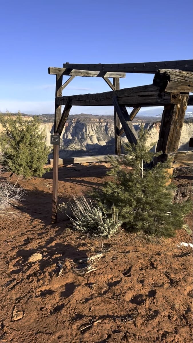
In the morning, the hiking was quite easy. First, a small ascent and then a gradual decline to the end of the trail. When I arrived at the viewpoint there was a large wooden structure, part of the Cable Mountain Draw Works. The east rim was covered in desirable pine, spruce and fir trees. Loggers found the easiest way to extract those resources was to lower the logs to the inner canyon by cable some 2000 feet below.
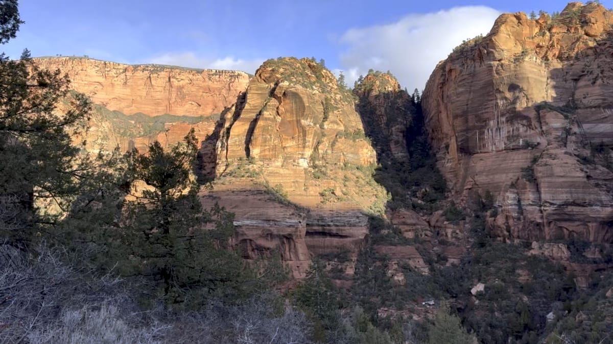
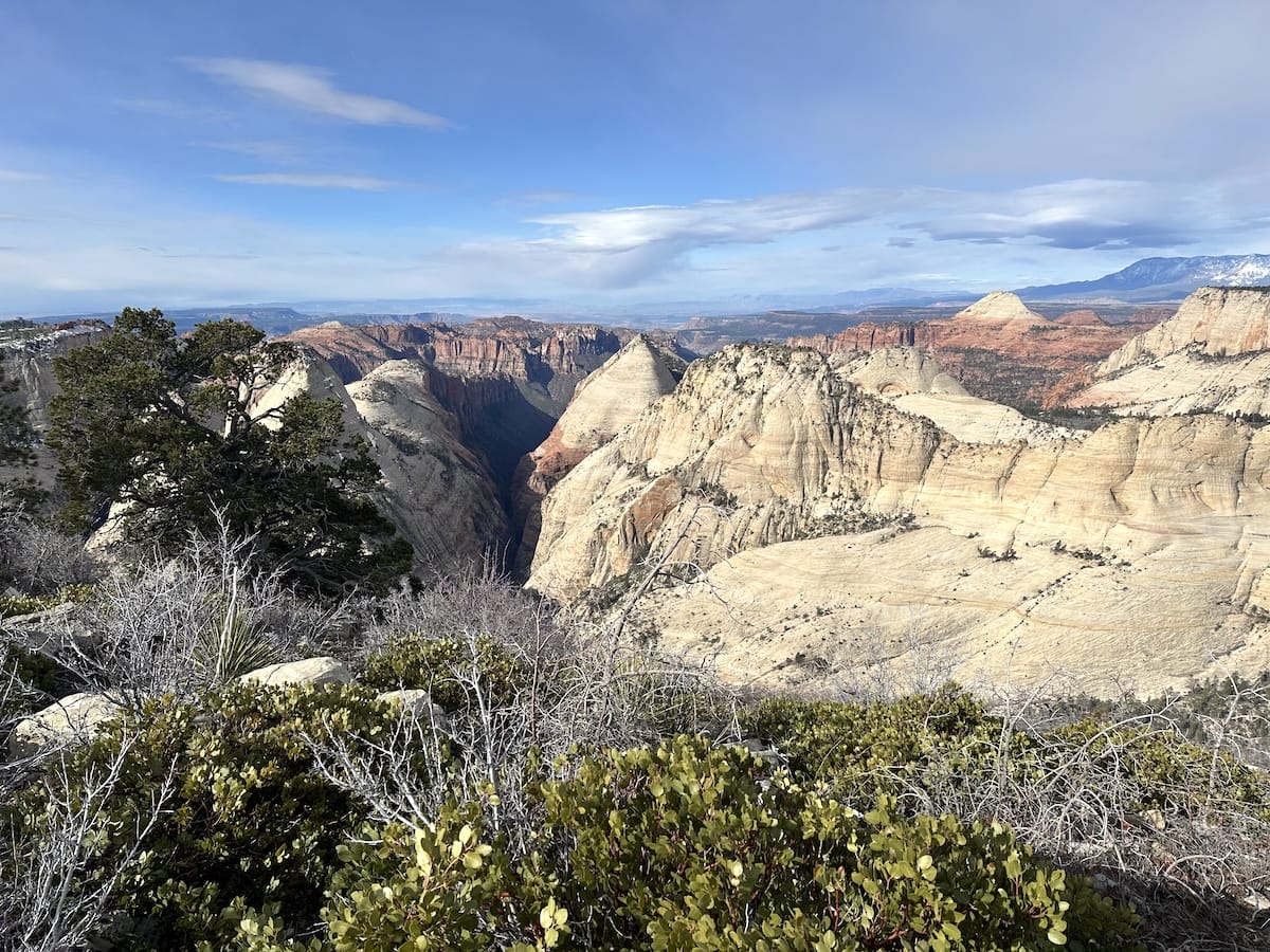
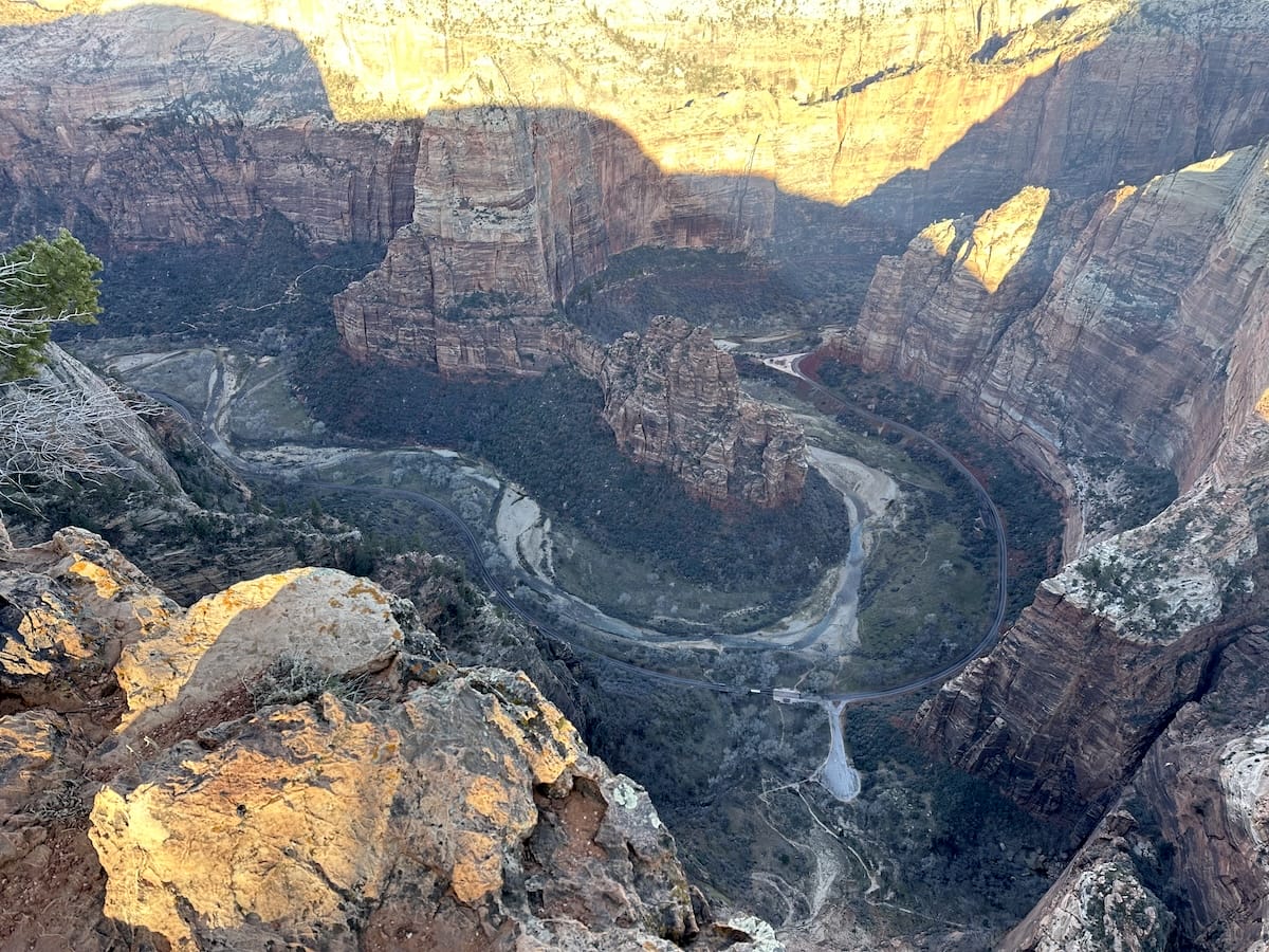
The view was amazing and the cliff was steep, absolutely perfect. I looked straight across to where I had been hiking the previous days, the west rim. Down below I could see the the scenic drive with the sound of the occasional shuttle bus. In the middle was the most famous part of the whole park, Angels Landing and looking more north Observation Point. Lastly, the one thing responsible for all of this beauty, the Virgin River as it ever so slowly continued to cut its way through the rock. The sun was out and the air was warming quickly. It was a beautiful place to be and I had it to myself. I hung out for a bit, ate some bars for breakfast and then headed back to finish my hike.
Back to the East Rim Trailhead
I packed up the rest of my belongings and considered heading over to Observation Point but given the trail conditions I found it more appealing to head back out. The frozen mud was much easier to hike on as it crunched below my feet. I few hours later I was back on my car, feeling satisfied and nature high.
Although this trip didn’t go exactly to plan, I still absolutely loved it. This was my second time in Zion and I would go back again to do this same hike in a different season and try to get permits for Angels Landing and the Subway. Check out my full gear list.
