Backpacking The Linville Gorge Wilderness
ITAYG – Post Hurricane Helene Alternative
North Carolina, USA
Overview
Intro
Type: Loop
Difficulty: Difficult
Fee: Free
Parking: Pinnacle Trailhead
Permits: Required Weekends May – October Recreation.gov
Distance: 28mi | 45km | Time: 2 – 4 days
Elevation: ^ 6,469ft | 1,972 m
Trailhead: Pinnacle Trailhead
As of 11/05/2025, the LGT south of the Spence Ridge river crossing is officially open again. The standard ITAYG route is now accessible thanks to the countless hours volunteers have spent rebuilding and clearing trail. The loop described below still makes for a great alternative if you’re looking for something a little different in the Gorge.
Over a year later, Hurricane Helene’s havoc is still present in Linville Gorge. This was my first time back, and I wasn’t quite sure what to expect. I really wanted to do my typical loop; the ITAYG trail, but that still isn’t possible due to trail closures on the LGT. The trail was either washed away as the flood reformed the riverbank or is simply covered in blowdowns.
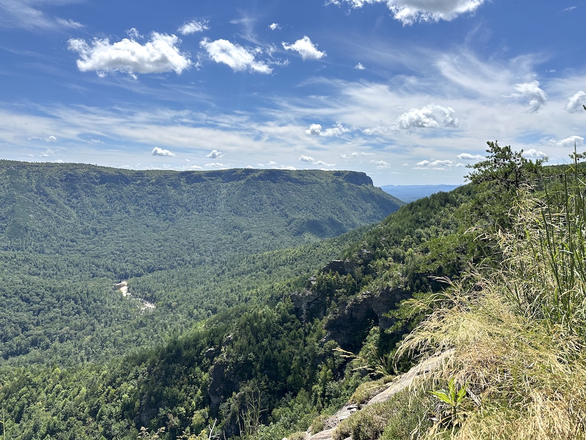
I decided to do a variation of the loop using the Rockjock trail via Conley Cove on the west side. Rockjock is much higher and easier to navigate while delivering awesome views of the inner gorge.
August 25 |
Day 1: Pinnacle Trailhead to Table Rock Campsite
Distance: 13.5 m | 21.7 km | Time: 8.5h
Elevation Gain: 4,242ft | 1,293 m
End point: Table Rock Campsite
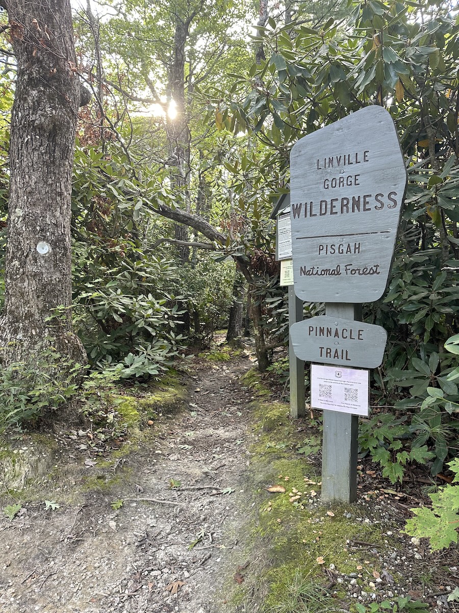
I arrived at the trailhead at 10 and began my hike down. This side of the trail begins with the MST and is generally very well maintained. After a short hike down, I came to the junction with Leadmine, making a sharp right to continue on the white circle-blazed MST. The trail felt great as it meandered through the trees, a mix of southern pine and hardwood. After a creek crossing, the trail sharply ascended, a short introduction to what Linville Gorge has to offer.
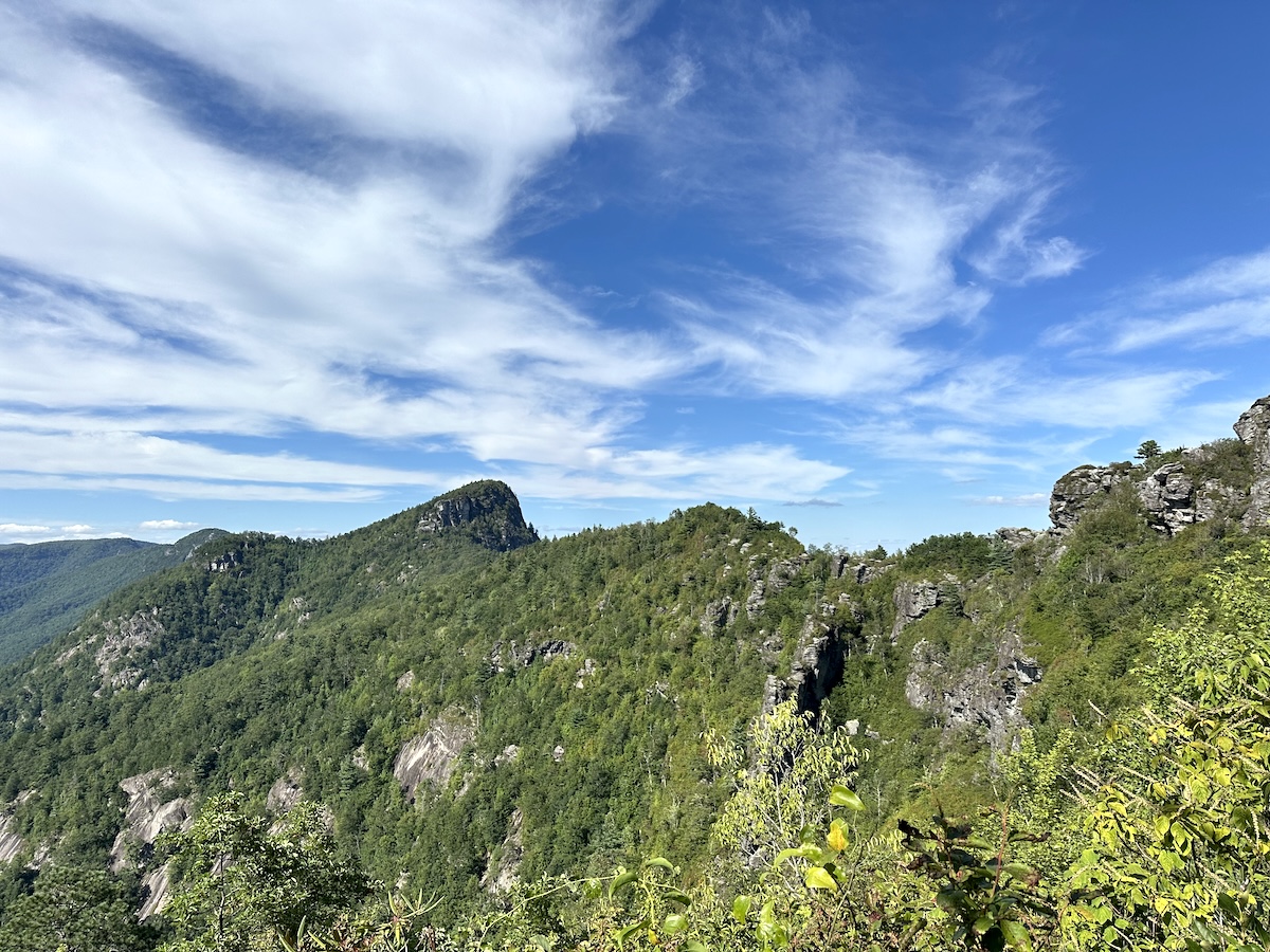
At the top, a beautiful campsite adjacent to a gorgeous view of the southwestern face of Shortoff. This side of the Linville Gorge is quite nice as it’s very quiet. Rarely have I seen anyone on this stretch of trail. At one point, it joined a forest road for about 50 feet before crossing over towards the river.
Linville River Crossing
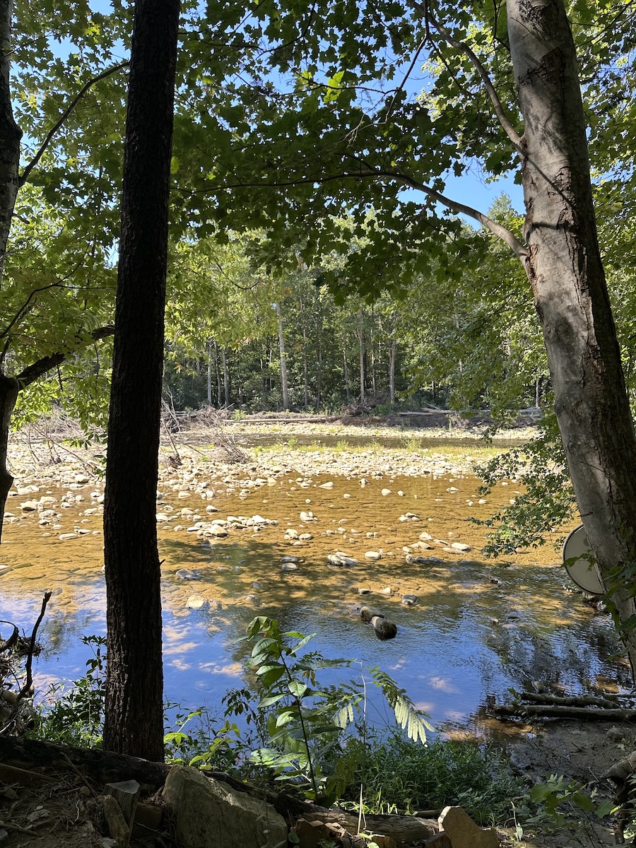
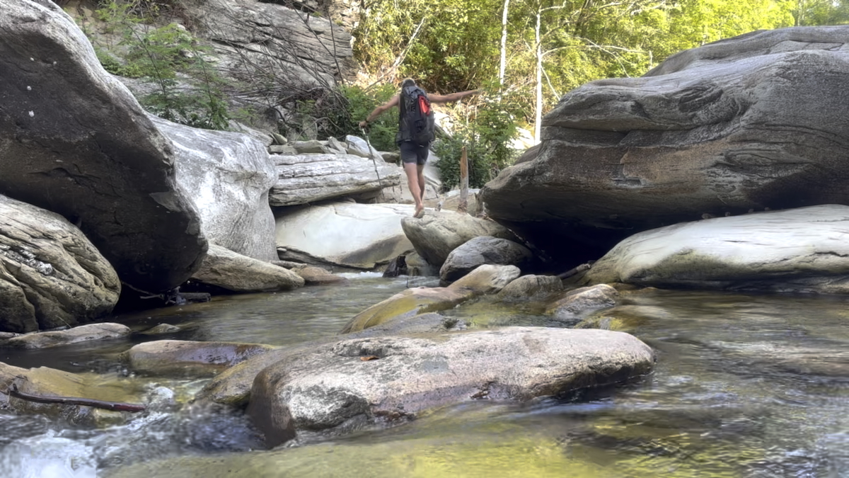
The river crossings seem to be different every time as they can drastically change depending on how much rain has fallen. Today was one of the easier days. I took my shoes off, grabbed my trekking poles, and spotted the large white circle nailed to a tree. It was another blaze made from a bucket lid. I began walking towards it, approaching the large island in the middle. My bare feet slipped on every small rock. I was happy to have my trekking poles and made do without bringing my Crocs. Once on the island, the next short stretch was much easier as it was sandier, and I could just walk normally through ankle-deep water.
After a quick snack, I continued on up the ridgeline straight to Shortoff Mountain. Honestly, it was a tough bit of trail that is quite uneventful. At the signed junction of the MST / Shortoff / Jeep trail, I turned left and shortly approached a spur trail I had never hiked before. Today was going to be that day.
The Olson Trail
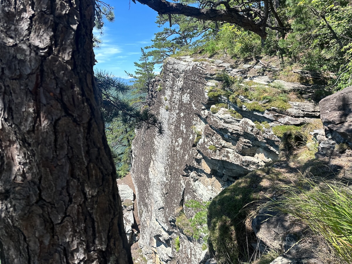
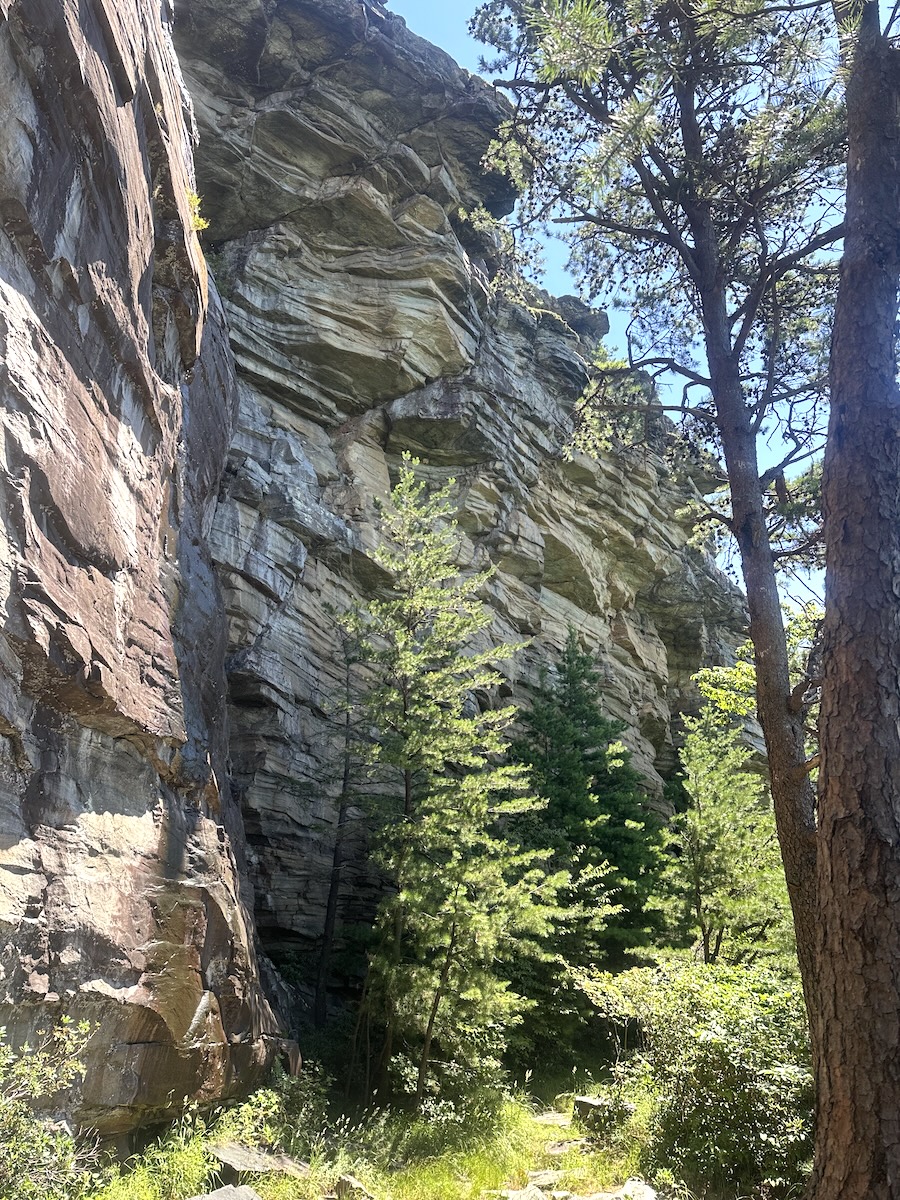
The Olson trail curves around the contours of Shortoff, parallel with the main trail but lower. At first, it was quite overgrown, and I doubted my decision, but after a short hike, everything opened up, and I was hiking near the edge of a cliff with unobstructed views of the gorge below. Awesome!
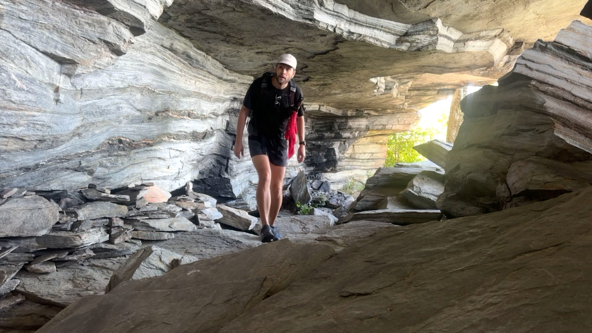
Soon I approached the cave, and that alone made everything worth it. The trail followed under a massive rock overhang before it opened up again to the other side. A fun, short section of trail that eventually rejoined the main trail on Shortoff.
Gully Pipe Spring
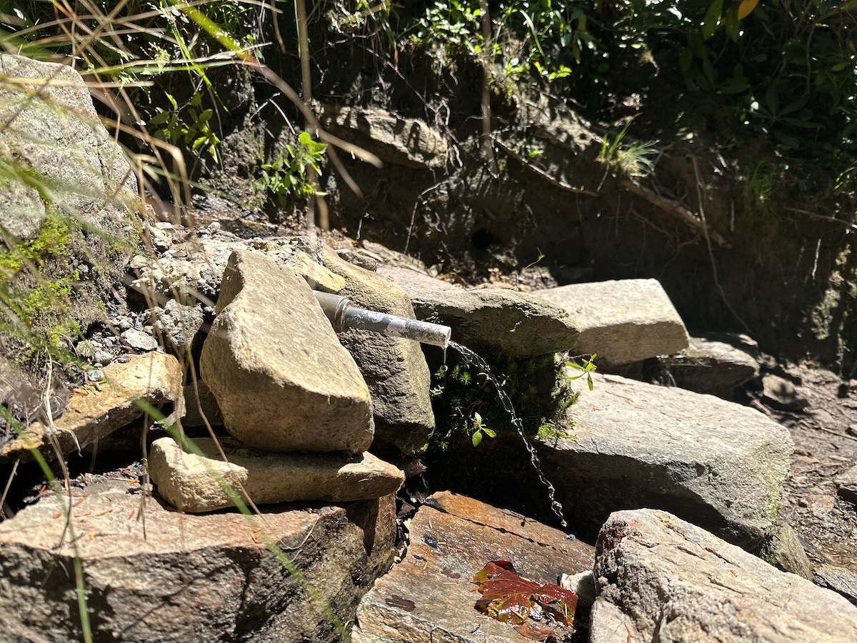
At the gully pipe, I filtered 2 liters of water, packed up, and started the easier section of Shortoff. Once on top, the trail is flat for a mile or 2. Near the southern side, there are excellent viewpoints and campsites.
As I hiked north, I found myself annoyingly pushing through overgrown bushes before the trail descended to Chimney Gap. To the left and down quite a big hill is a water source. It wasn’t my favorite spot for water as it’s way downhill; however, it’s there if needed.
To my surprise, the next few miles of trail have been completely rerouted and rebuilt. SWITCHBACKS! I didn’t know the trail builders in Linville Gorge even knew what they were, but I was suddenly greeted by the most magnificent trail in the gorge! Quite the opposite of the last 2 miles.
The Chimneys
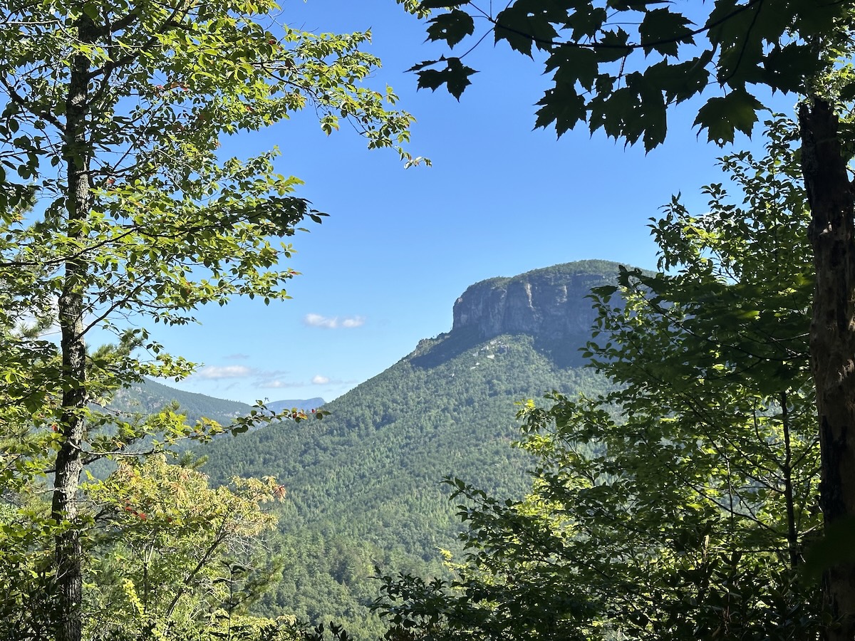
At the top, the Chimneys, which in my opinion is the highlight of the eastern side of Linville Gorge. The trail meanders around, on top of, and between super cool rock features and is largely exposed, leading to 360 views all around. I didn’t do the side trails this time, but there are a few to the left that lead down to some awesome viewpoints. Camel, Mummy, and the Amphitheater are all rock formations that you can check out here.
The Best Campsite on the East Rim
My plan was to stay at the Chimneys, but after checking my map, I thought it was wise to continue a bit further to split the hike up more evenly. Just past the parking lot at Table Rock, the trail splits. To the left, there is a side trail that leads towards Little Table Rock Trail, and just before that steep descent, there is a super cool campsite. It is usually taken but not today!
There was a very well-sheltered flat spot perfect for my tent along with a few other spots. Another short trail leads further down to the edge. One of the best views of the inner gorge! I set my pack down, drank my 1 beer that I had packed all this way, and ate my dinner… leftover pizza. It was an awesome spot to spend an hour or 2 while relaxing and enjoying the sun.
I wanted to stay here as there are a few spots to set up a tent; however, in my past experiences, the wind can be really strong, blowing up the edge of the gorge. I chose to set up my tent in the first protected area to avoid being disturbed by the wind throughout the night.
It was an excellent day!
August 26 |
Day 2: Table Rock Campsite to Pinnacle Trailhead
Distance: 14 m | 22.6 km | Time: 7.25h
Elevation Gain: 3,284ft | 1,001m
End point: Pinnacle Trailhead
I didn’t sleep so well, although I was super tired. I was on Facebook and saw a post about someone who left their tent setup to go on a day hike and came back to see it totally rummaged through by a bear. That kind of sat with me for a while that night. I kept thinking how happy all of the wildlife is around here since the hurricane and they were probably hungry for one of my Uncrustables. I do sleep with my food whenever I camp. You do you.
At one point that night, a bear did touch my leg, and I bravely kicked it away. Fortunately, that was a dream. Anyway, in the early morning hours, I did manage to fall into a deep sleep for a short time.
I was packed up and hiking by 7:20. That night, I had done a bit of research to see which of the two trails down was easier. In years past, I’d hiked the Little Table Rock trail, a steep, rugged descent straight down the ridge. I learned that it was officially decommissioned before the hurricane. The hurricane had helped those efforts. Now it’s a rugged trail with a huge number of blowdowns crossing over. I chose the other trail.
Table Rock Gap Trail
Backtracking towards the Table Rock spur trail, I took the Table Rock Gap trail down to the Spence Ridge parking lot. This trail was fabulous. Beautifully maintained, and very easy to hike down. At the parking lot, I turned left to join the Spence Ridge trail. Not too far down, the trail takes a sharp right at the junction where the old Little Table Rock trail joins. It was marked by a massive blowdown completely crossing the trail. This reassured me that I had taken the correct path.
Spence Ridge Trail
The Spence Ridge trail is a fairly wide-open, heavily traveled trail, full of rocks and roots but nothing too intimidating. There are multiple small stream crossings that are easy to rock-hop across and lots of opportunities to gather water. I saw at least 2 beautiful campsites here within close proximity to a water source. A different kind of camp tucked into the lush forest rather than what I typically prefer high up on a ridge.
Another River Crossing
Approaching the river, I started to get a bit anxious as I was unsure as to what I’d see. How was the crossing going to be? I knew the water levels were low, but how did the flood affect my typical path across and how was the trail on the other side?
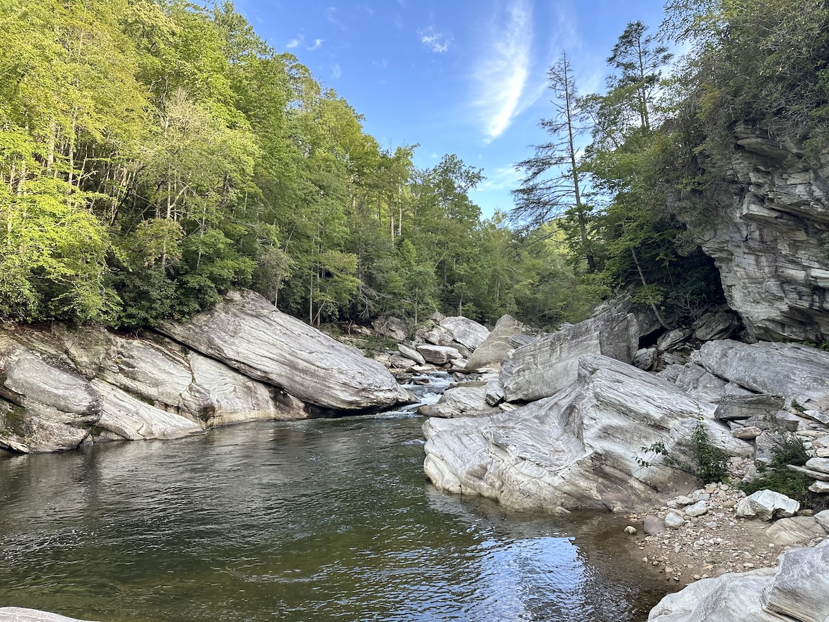
Turns out not much had changed. The two massive boulders that once supported a bridge were still there, and a bit further down was the collection of mid-sized boulders creating a path about 80% across the river. Not bad. I thought that I might be able to keep my trail runners on, but after exploring a little closer, the first gap was about a foot further than I was comfortable with. I’m sure some people could do it, and I would have probably been able to, but it was far safer to take my shoes off and walk across. I didn’t want to go for an unintended swim. After filtering 2.5 liters of water from the stream coming down the west side of the gorge, I was ready.
With my trail runners off and trekking poles in hand, I made my way through the pool downstream from the large boulders and straight to the mid-section of my trail of boulders. The rocks in the water were much more pleasant than on the south crossing. They were larger, and only about half of them made me feel like I was going for an unintended swim. I then rock-hopped the last bit of trail to finish crossing the river. With my Wildcats back on, I started the hike out.
Where was the trail? There was a large blowdown overtop of the beginning of it. It took me a second, but I managed to cross over and find the Linville Gorge Trail. Once there, it reminded me of the old trail… rugged, rocky, and with loads of roots. Nothing new really. I stopped at Cathedral Falls and took a few photos, then continued on, passing some really cool granite rocks and large boulders along the way.
Conley Cove Trail
Closer to the junction with the Conley Cove trail, I finally came across the storm damage. The previous night, I could make out this section from my campsite above. From above, the trees looked like a box of matchsticks had been thrown on the ground. Trees were leveled and crossing every which way. The group of volunteers had cleared at least 20 or 30 trees in this section to make the Conley Cove trail accessible. All done by hand, as chainsaws are not allowed in the national forest.
As I hiked up the trail, it was hot. There was no shade until I made it back to the forest above the destruction. Here, I followed the switchbacks on a nicely maintained trail that seemed endless. At every other switchback, I came close to the stream that flows down each time, reminding me that I didn’t need to carry the extra water up. In fact, at the junction with RockJock, there was another stream…
Rock Jock Trail
Nearing the top and turning left onto the Rock Jock trail, the terrain began to level out. Recent trail reports describe how overgrown this trail is, but they must have been on a different Rock Jock trail. There were a few overgrown areas, but nothing as described. Perspective matters when reading trail reports.
I took the side trail to the campsite, passing Lost Dog Pond. A wide-open campsite sat on the edge of the cliff with a picturesque view of the Chimneys and Table Rock across the way. I ate lunch, took my shoes off to air my feet and dry my socks. It was the perfect break after the long climb out of the gorge.
The trail stays close to the edge before moving more inwards as it passes a few viewpoints (Fern Point and Hackers Point) right on the trail. I was impressed by Blue Jay Falls. A beautiful moss-covered rock face, right on the trail with water trickling down from multiple sources. Further on is Split Rock, another cool rock feature the trail follows straight through.
From there, the trail began to feel a little monotonous. Not difficult or overgrown, but just kind of the same, meandering through the woods until the trail descended to yet another viewpoint right on the trail (T-shirt Point). It wouldn’t be too much further until I had to embrace the suck.
Mossy Canyon
At Mossy Canyon, everything began to be more challenging. On the map, there is a sharp notch cut out at a water source. Just north of the water, the trail crosses a large rock face and disappears. I searched around a bit, climbing upwards on the granite but did not see anything promising. I backtracked a bit and went further down the rock and started looking into the overgrowth on the other side. Found it! Although it meant I was scaling a rough, root-covered trail up the side of the mountain for a short bit before rejoining the normal trail.
From here on, it was obvious that not a lot of people hike here. Everything was overgrown, although the trail was never hard to follow. It was just a constant bushwhack until the last beautiful viewpoint taking in Shortoff Mountain.
From where Rock Jock began to here, either the road had gained a lot of elevation or the trail had lost a lot of elevation. Either way, I was in for a steep climb out of there. It was about 600 feet over .6 miles to the road. As I left the gorge, it became noticeably warmer, and the trail was overgrown.
Finishing Up
Continuing upward, I could see the clearing in the trees ahead, and I was quite literally just dumped onto the dirt road. It was nice to get out of the woods! I still had 3 miles to hike, but this time it wouldn’t be through the dense undergrowth but instead on the dirt road back to Pinnacle, and honestly, I was fine with that.
Itineraries – Linville Gorge Backpacking ITAYG Alternative
2-Day (counter-clockwise from Pinnacle Trailhead)
Trailhead: Pinnacle
Day 1
Hike: 13.5 miles (21.7 km) via the MST (white – circles)
Night 1: Little Table Rock (near the junction of Little Table Rock / MST / Table Rock Gap)
- Excellent campsite on the edge with views into the gorge.
- Water: carry from Chimney Gap or the spring near the Table Rock / MST junction.
- Protected campsite near top of spur trail; more scenic sites farther down near the cliff edge.
- Easy access to Table Rock summit.
Day 2
Hike: 14.3 miles (23 km) via Table Rock Gap → Spence Ridge → LGT → Conley Cove → Rock Jock → NC-105 road walk
Note: Mileage and effort are split evenly across the two days. If you prefer, there are great sites spread out along the Chimneys or continue farther and use one of the sites on Spence Ridge.
3-Day (counter-clockwise from Pinnacle Trailhead)
Trailhead: Pinnacle
Day 1
Hike: 6.25 miles (10.5 km) via the MST (white – circles)
Night 1: Southern side of Shortoff Mountain
- Excellent edge campsites with views into the gorge.
- Water: two nearby sources (Gully Pipe and Water Tree).
- Optional: explore the Olson Trail en route or after setting up camp.
Day 2 — Option 1
Hike: 14 miles (23 km) via MST → Table Rock Gap → Spence Ridge → LGT → Conley Cove → Rock Jock
Night 2: West Rim near Lost Dog Pond
- Great edge campsites with views of the Gorge, Chimneys, and Table Rock.
- Water: stream on the east side of the river before crossing; stream beside the switchbacks on the Conley Cove ascent; Lost Dog Pond (reliability uncertain).
Day 2 — Option 2
Hike: 10 miles (16 km) via MST → Table Rock Gap → Spence Ridge
Night 2: Spence Ridge Campsite
- Multiple large forested campsites close to a stream.
- Water: Spence Ridge trail follows a stream most of the way to the river; several sites are very near the stream.
Day 3
- If Day 2 Option 1: 7 miles (12 km) via Rock Jock → NC-105 road walk.
- If Day 2 Option 2: 11 miles (18 km) via Spence Ridge → LGT → Conley Cove → Rock Jock → NC-105 road walk.
Linville Gorge ITAYG Alternative Loop Map
I highly recommended using a combination of my Alltrails map below along with the Linville Gorge Map from lgmaps.org
The Avenza Map from lgmaps has more information regarding campsites and water sources.
Linville Gorge Trail Closures Map
Living in Charlotte, NC most of my life, Linville Gorge was naturally a place that I frequently hiked. Still one of my favorites due to the ruggedness and wilderness experience. I’m not officially a “Gorge Rat” (one who has hiked all of the trails) but I’m damn close. There really is so much to see which is why I keep coming back.
