Overview
Intro
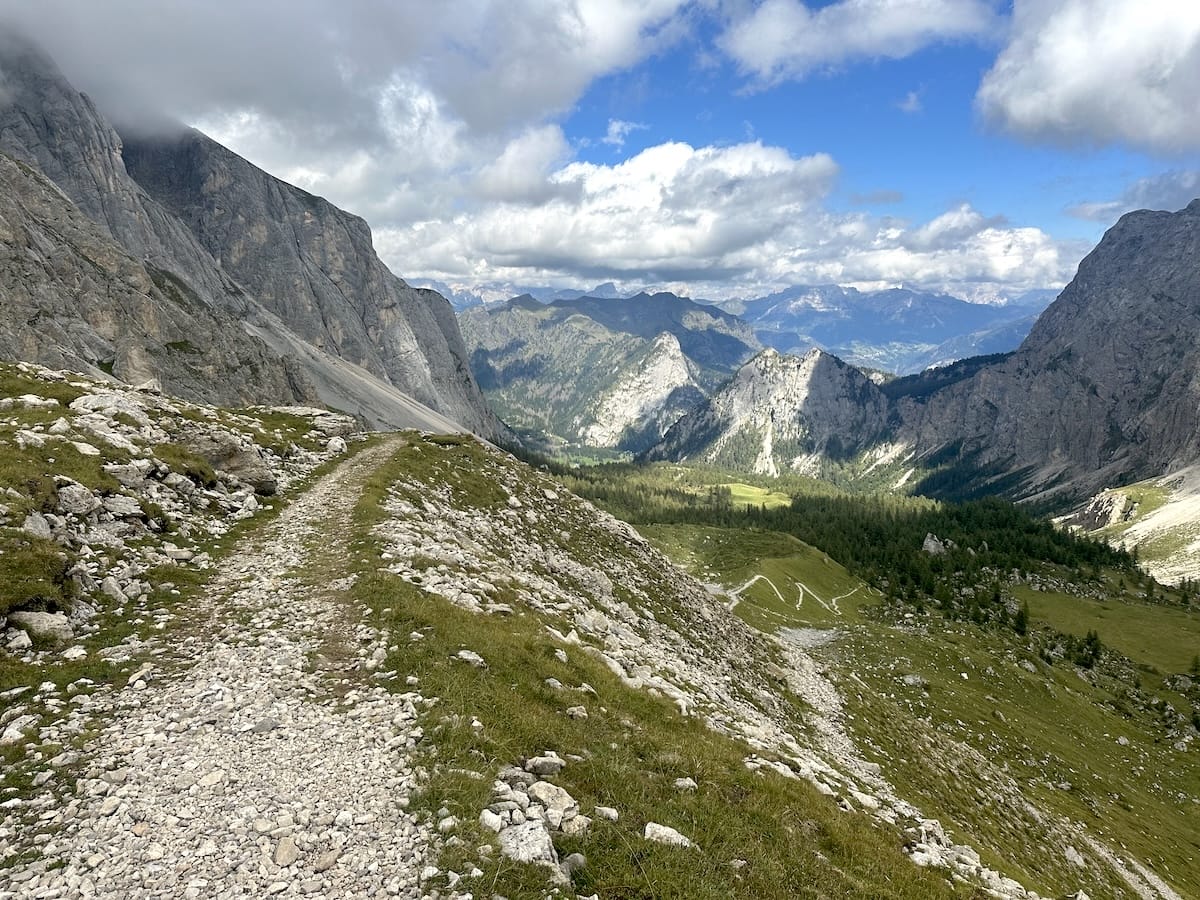
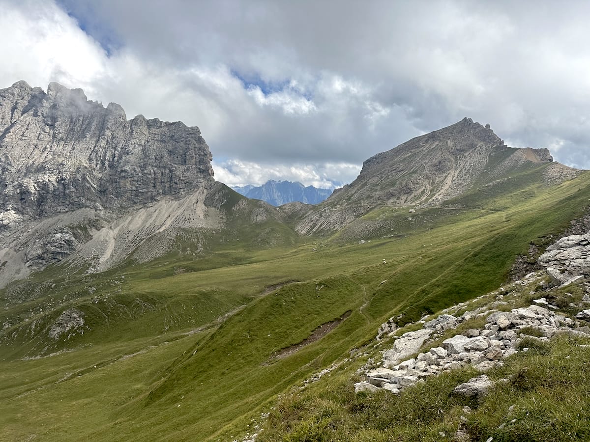
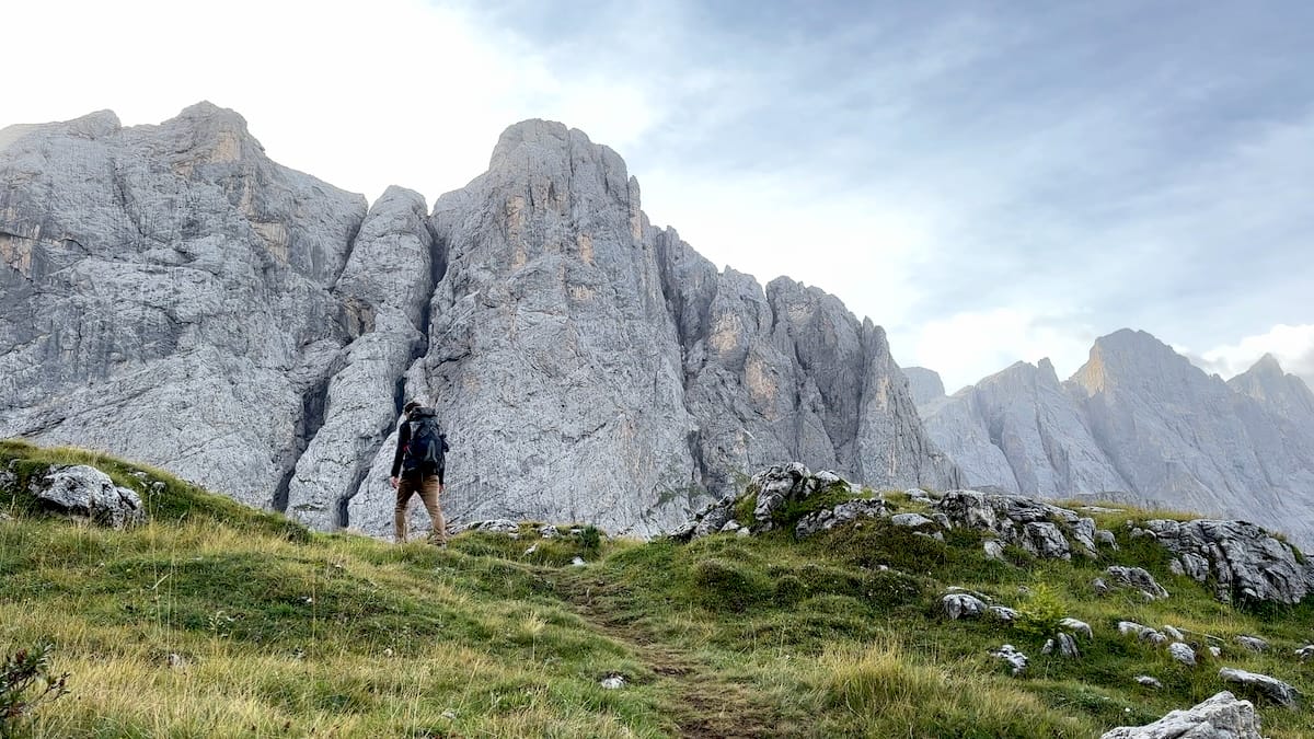
The Dolomites, a UNESCO World Heritage Site in northeastern Italy, offer a breathtaking panorama of jagged peaks, verdant valleys, and crystalline lakes. They promise an unforgettable hiking experience amidst some of Europe’s most spectacular scenery. Carved from limestone millions of years ago, these dramatic mountains began their formation in ancient seas. Over millennia, layers of coral, algae, and other marine organisms accumulated and solidified, forming the distinct sedimentary rock that characterizes the Dolomites. Tectonic forces then uplifted these formations, and subsequent erosion sculpted the peaks and valleys we see today.
September 3 |
Day 0: Arrival
Distance: 0km | 0mi | Time: 0h
Elevation: ^ 0m | 0ft
End point: Km 0 | Mi 0
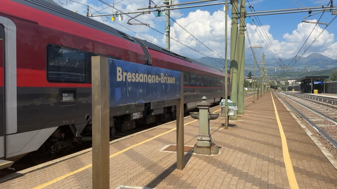
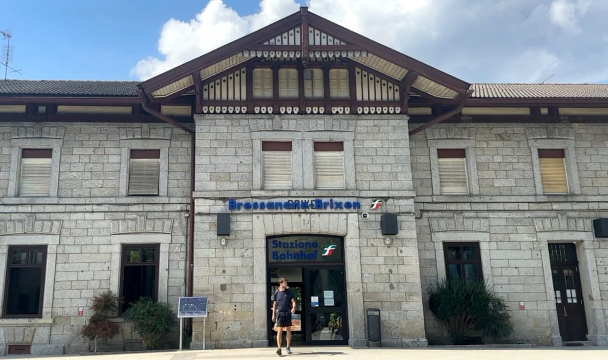
Living in the Netherlands and eager to make use of the European train system I decided to take advantage of the rail service. I hopped on the train to Utrecht where I would transfer to the Nightjet with a direct overnight ride all the way to Innsbruck, Austria. From Innsbruck, I transferred again to Brixen, Italy where I quite literally began my hike once I stepped onto the train platform. That was quite cool if I’m being honest.
September 4 |
Day 1: Brixen to Rifugio Plose
Distance: 13.2km | 8.2mi | Time: 4.75h
Elevation: ^ 1,834m | 6,017ft
End point: Km 12 | Mi 7.5
Beginning My Hike of the AV2
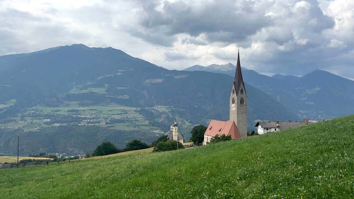
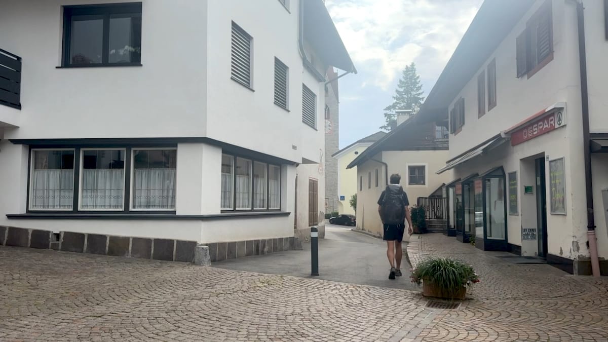
Stepping off the train, I checked my map and found the general direction of the official trailhead. I headed east through town, walking downhill towards the river. From here it would be up, a very long way up. I continued to the edge of town, through meadows, orchards and next to a gorgeous church eventually making it to the Plose Gondola; a busy area with a bus stop, large parking lot, mountain bike rentals, restrooms and a cafe. Excited, I briefly considered abandoning my purist hiker mentality for a gondola ride, but the thought quickly passed, and I continued upwards.
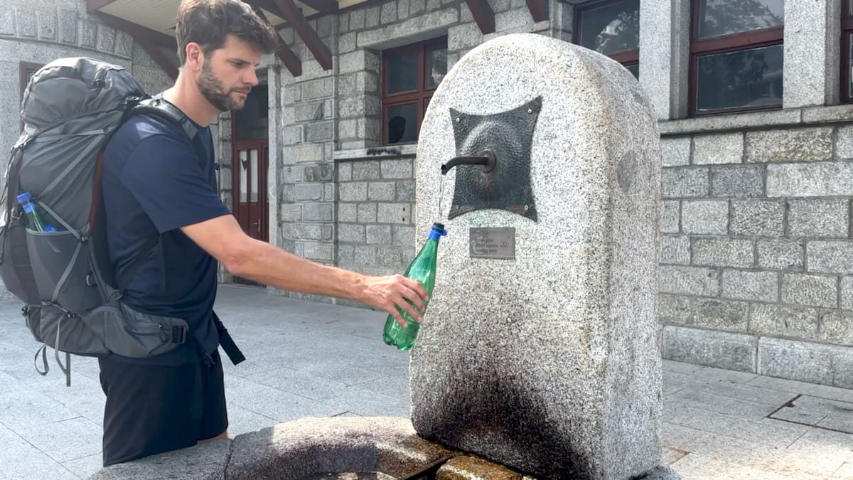
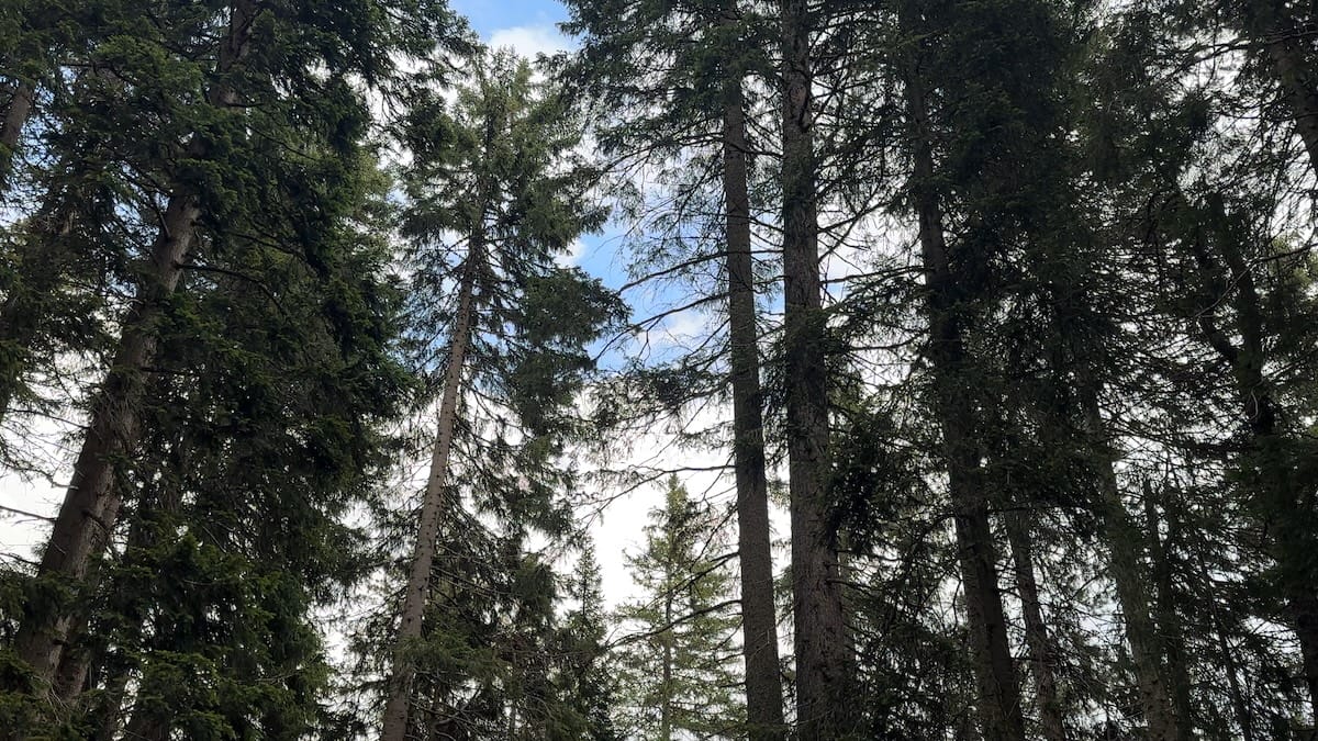
It was a road walk for a bit until making a left onto a marked trail. Now, in the forest, the day was beautiful, blue skies, comfortable temperatures. I continued the slog up the mountain passing mountain bike trails and zig zagging the cut out of trees where the gondola went up. I came to a piped spring, refilled my water in a beautiful, forest covered oasis and took a short break. Further on I came to another gondola station, the midway point where I could have joined but again I was a stubborn hiker and decided to keep walking.
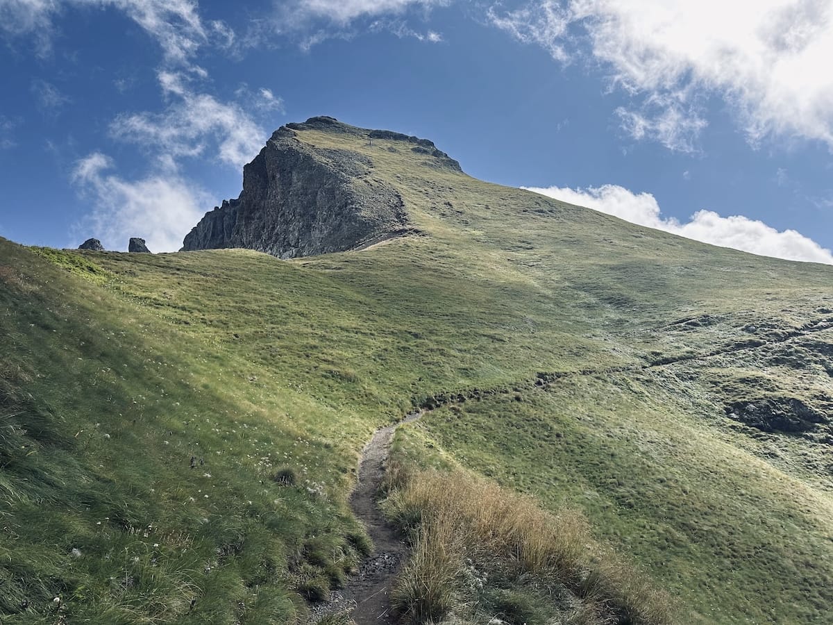
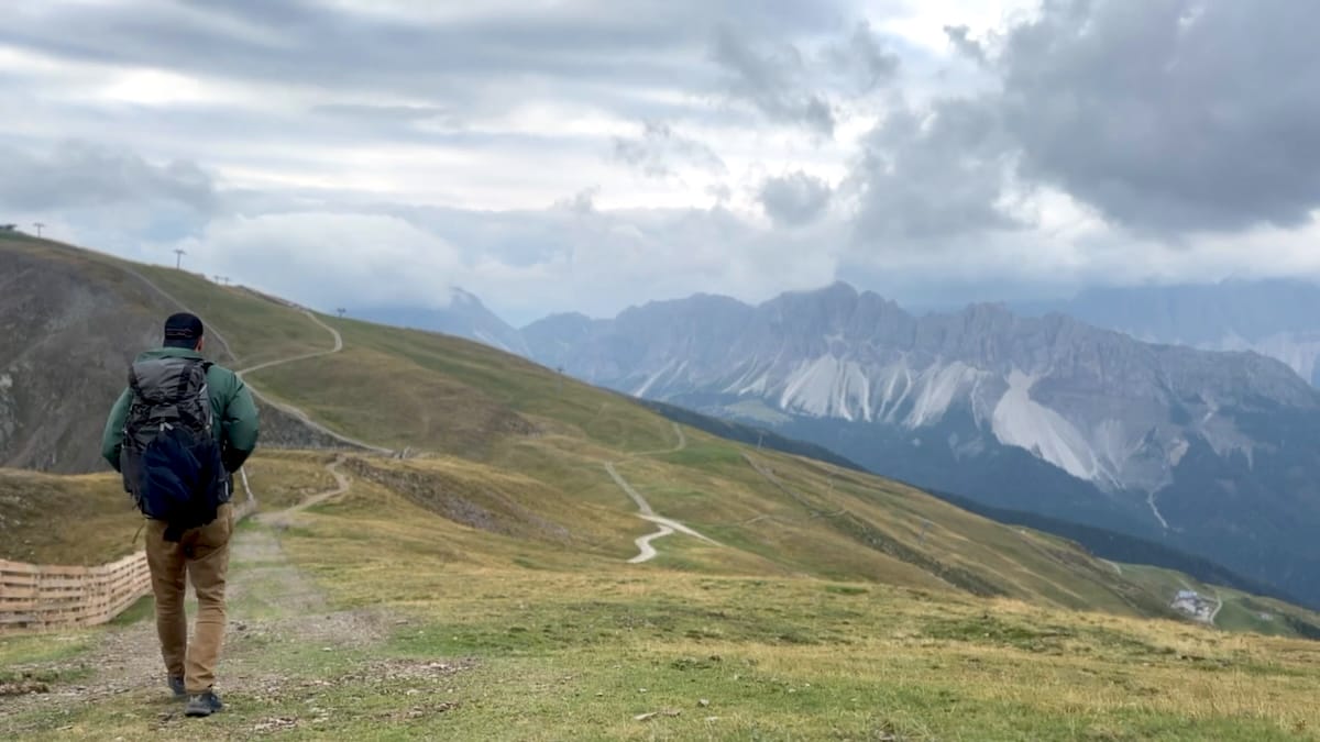
As I reached nearly the top I came to the Valcroce station and realized that I had taken a different trail up. It looked a bit shorter and I’m not sure that it made much of a difference from the trail in the guidebook but I was at the station and needed to head over to the AV2 via the spur trail. At this point I was above tree line continuing through grassy, rounded mountain tops and could look back at Brixen below.
Rifugio Plose
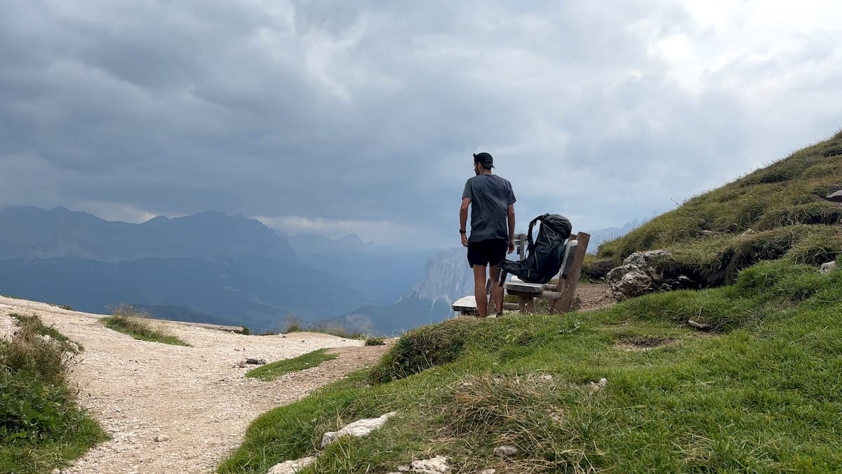
As I reached Rifugio Plose, the Idle di Eores “needles” were in sight with the massive Sass de Putia, Sassolungo and Sciliar massif. My first real taste of the epic Dolomite peaks and a reminder of why I came here.
It was 18:00, I was exhausted. Nearly 2000 meters of elevation gain over 5 hours was a lot for the first day and at that point I wished I had taken the gondola!
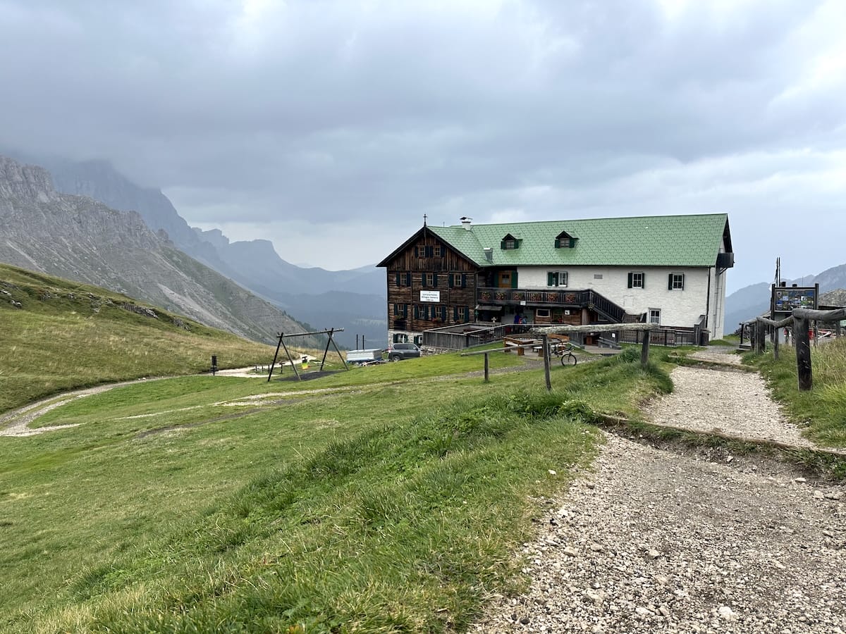
The rifugio was very welcoming and quiet. It was only about half full which was surprising given that the next two rifugios were booked out months ahead. I was given a quick tour and shown to my room where I would share the night with 2 others. The bunk room and bathroom were both clean and there was even a shower; not bad for a mountain hut! I cleaned up and headed to the dining area for the 18:30 dinner, a nice 3 course meal; penne with red sauce, a beef stew with orzo, and a custard for dessert.
I then took to my bed, made small talk with my roommates and called it a night.
September 5 |
Day 2: Rifugio Plose to Stealth Camp
Distance: 26.7km | 16.6mi | Time: 8.5h
Elevation: ^ 1,509m | 4,950ft
End point: Km 35 | Mi 21.8
After a quick buffet style breakfast of meats, bread, cheeses and hard boiled eggs, I was out the door at 7:45. I had a big day planned and the weather wasn’t so great. Overcast and very windy. I followed one of the trails from the Rifugio. It was more about heading in the right direction rather than being on the “correct” trail as there seems to be numerous areas where trails criss cross each other on the AV2.
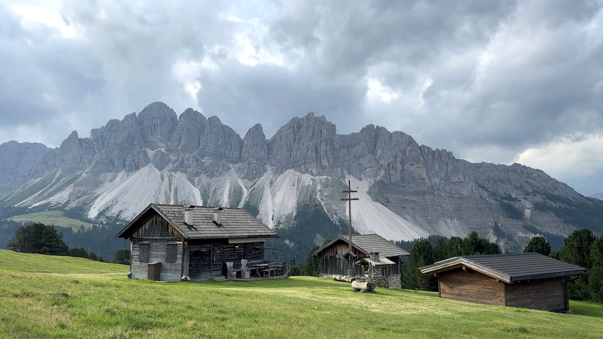
I made it across the grassy mountain tops still heading towards the massive peaks I had seen the day before, then into the forest for a beautiful section of wooded trail. The occasional guided cable was reassuring if unnecessary. This was inaccurately foreshadowing the cabled sections in the coming days. I emerged from the forest coming to a grassy field with rustic, timber chalets amongst a backdrop of typical Dolomite peaks. I laid around in the grass here for a quick morning break.
Continuing down the dirt road back into the forest and across boardwalks above marshy grasslands. I then joined a paved road for a relatively short road walk before heading into the Puez-Odle park and into a beautiful wooded forest with soft dirt paths. The trail continued parallel to the road for some time. Every so often I’d hear the high pitched motors of car enthusiasts with their European sports cars hugging the mountain roads.
Forcella di Putia
The trail ascended and the protection of the wooded area began to erode as the terrain turned to a rocky environment. I passed gullies where waterfalls roared and hopped boulders across a few streams. Some a little trickier than others but nothing too frightening.
I made it to the gully that goes up towards Forcella di Putia. A very rocky area with mostly good trail and scree around. There were lots of other hikers in this area, nothing technical, just a straightforward hill climb. Near the top, I could appreciate where I came from with the deep cut of rocky trail through the gully and the patchy forest amongst the grassy hilltops further in the distance.
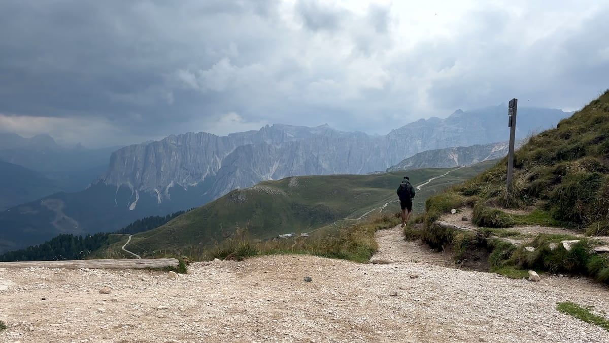
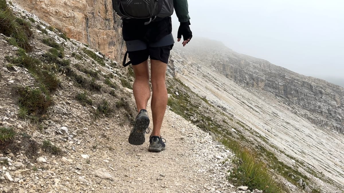
Once at the pass, I felt high winds, cool temperatures and dark storm clouds. The trail on the other side was a stark difference than the gully. More rolling hills with a hard, fine gravel path. I was welcomed by a heard of grazing cows who were more interested in my salty shoes than letting me pass by.
Rifugio Genova
The rain started just as I arrived at Rifugio Genova around 13:00. I ordered a lovely dish and packed out a couple of sandwiches for dinner as I was staying in my tent that night. The family who runs the Rifugio were all amazing. They were so nice and the rifugio itself was in a lovely setting. As I left, the rain started to slow although it would continue to threaten for the rest of the day. I made my way towards Forcella della Roa, the next pass, dropping into a huge grassy bowl. From where I was the upcoming pass looked intimidating, a huge scree field with a trail of switchbacks to the top. As I continued up and eventually making it to that section… I was in fact … on a huge scree field but the path was wide enough. I descended into another very isolated bowl of boulder fields before heading up once again. This climb, not as challenging but there was a cable aided section and a false summit before reaching the top.
Camp
On the other side, I descended towards a giant grassy field and looked for a stealth spot to camp. I tucked myself in a low spot in between some of the rolling hills. For a bit, I explored the area and found a beautiful huge cliff not far from my spot and also realized I was completely alone. Most people stopped at Genova or moved on to Puez. I had this whole valley to myself although the rain moved in right after my tent was setup.
September 6 |
Day 3: Stealth Camp to Rifugio Boé
Distance: 20.2km | 12.6mi | Time: 7.25h
Elevation: ^ 1,351m | 4,432ft
End point: Km 51.5 | Mi 32
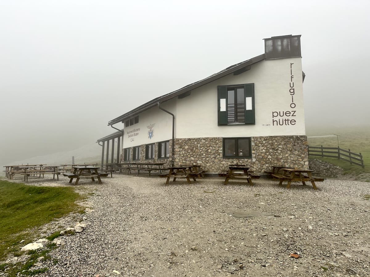
It rained a lot that night and I was cold and hungry. In the morning, I was completely in the clouds. Everything was wet. At 6:30 there was a lull in the rain so I packed up and headed on. Shortly I approached Rifugio Puez where I walked through the patio area next to the dining room. It was breakfast time and I could just feel the eyes staring at me as I walked by. Many probably wondered where the hell I came from and how happy they were to be in the rifugio that night.
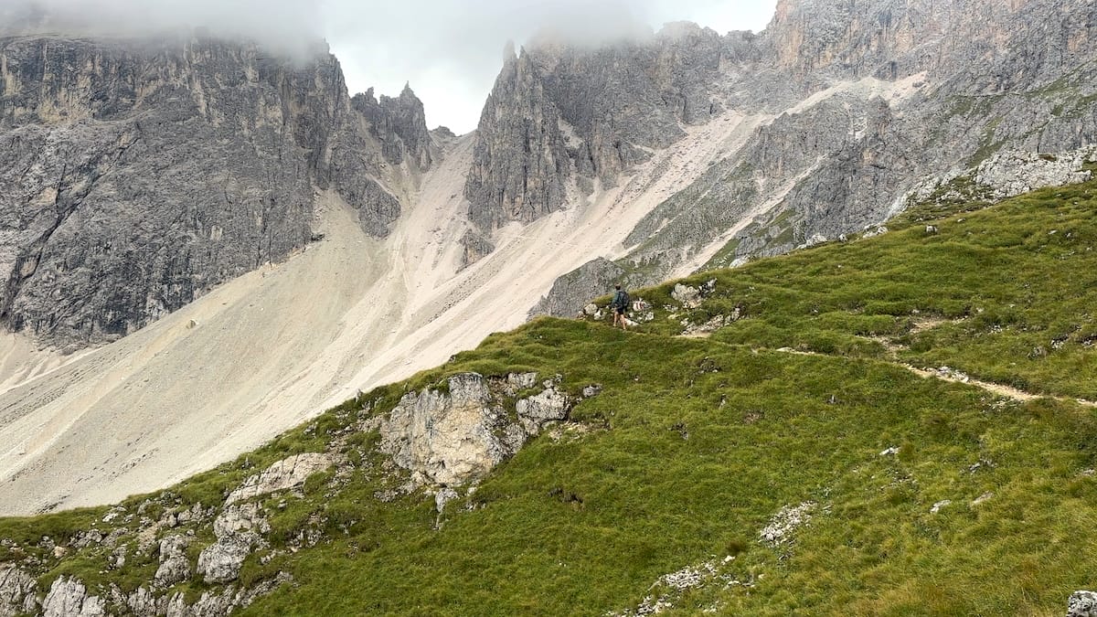
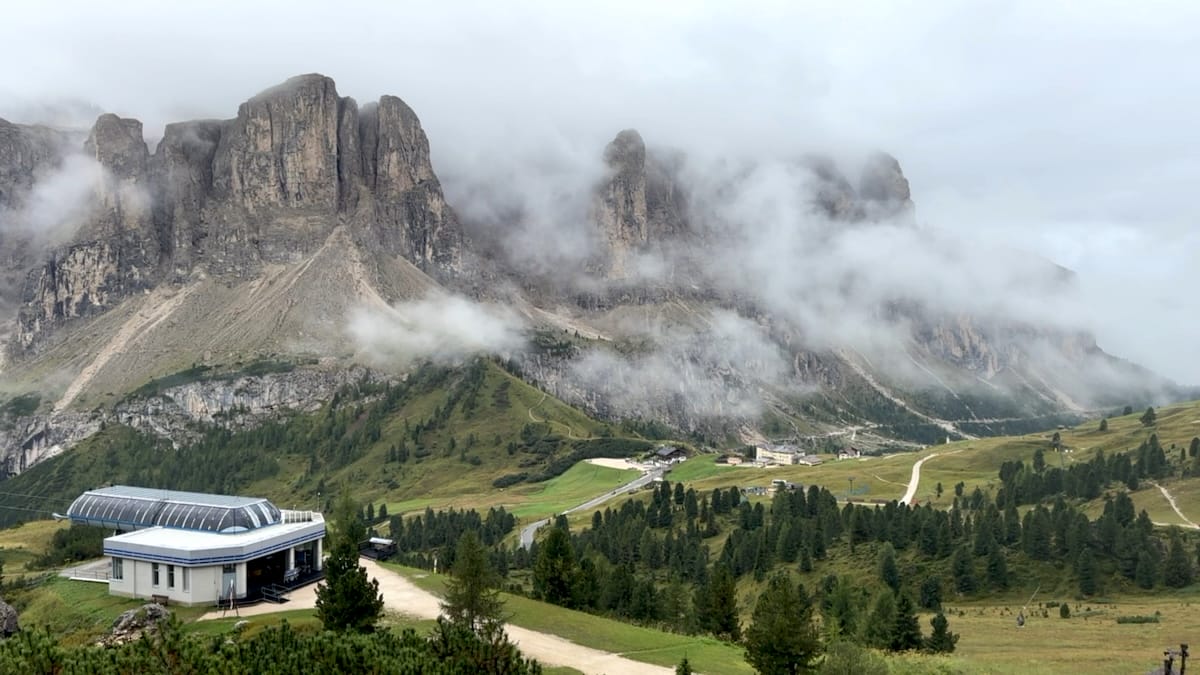
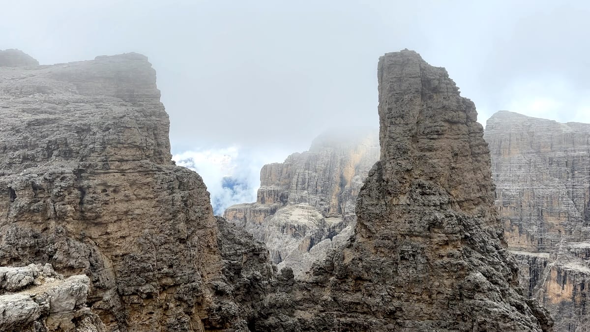
The weather was on and off again but the clouds were present all day. I continued the pleasant stroll across the Puez plateau taking in the scenery as the clouds blew over and revealed massive rock faces and huge cliffs. As I approached Gardena pass I could see in the distance my next challenge.. the Sella group. I stopped at a rifugio for an americano and two slices of apple pie for breakfast. I then crossed the road and headed up though the grass and shrubs before coming to the mouth of the Val Setus ravine. This was going to be challenging climb.
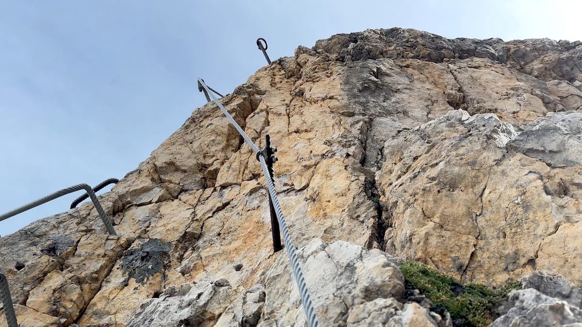
Rifugio Pisciadù – My First Via Ferrata
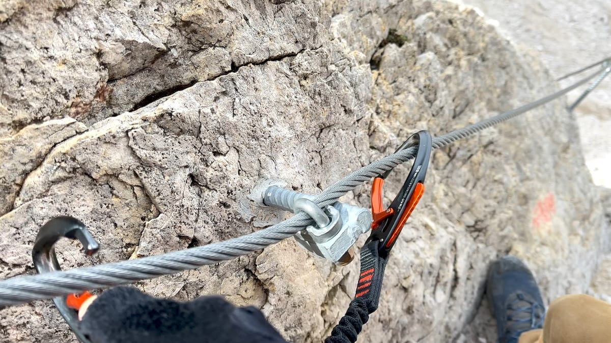
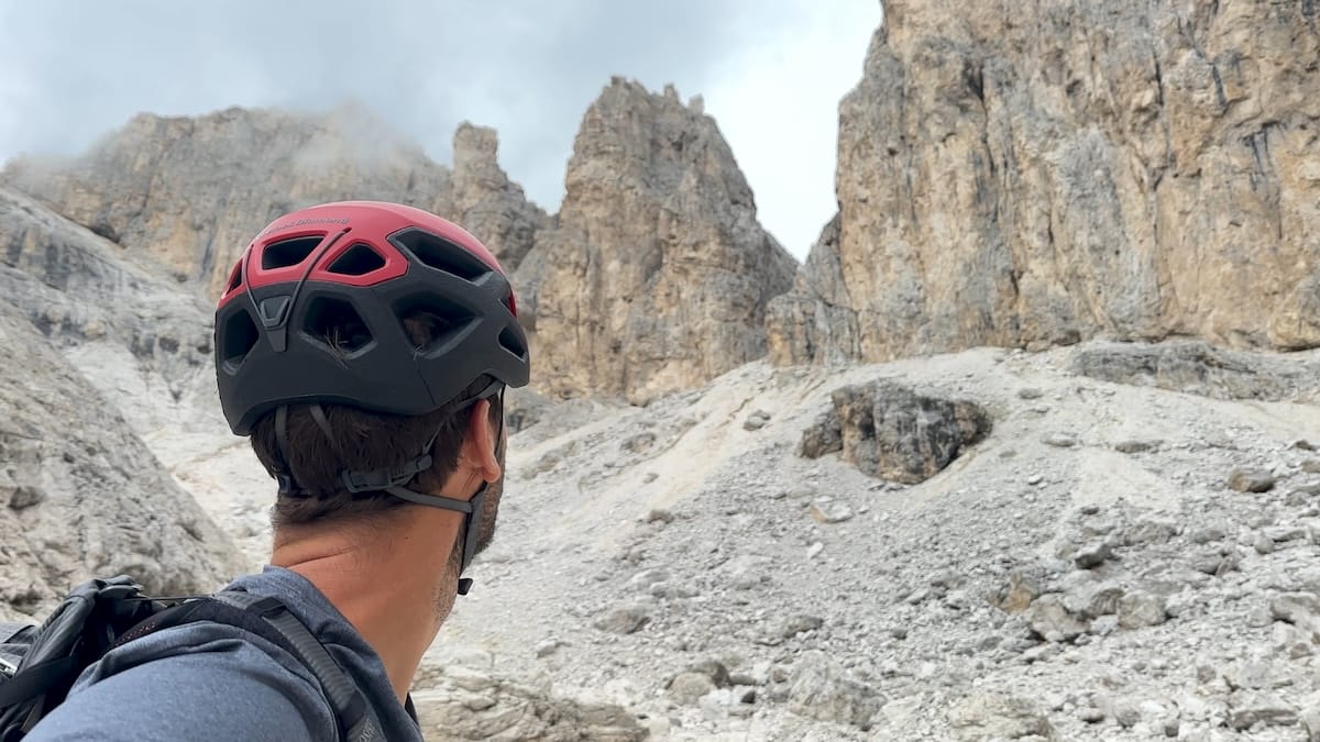
At first there were quite a few ever continuing switchbacks through rock and scree. A couple of sections required caution however the breathtaking steepness that seemed to continue forever was more memorable. Reaching near the top, my first true via ferrata, albeit lower class, would ensue. I sat down, put my harness, helmet, gloves and leash on. My first real time clipping into the iron cable, I was nervous but confident with the added security. If I slipped and fell… it would most definitely hurt but I wouldn’t die.
I continued up the steep rock face unclipping and clipping past each anchor point and onto each new section, moving forward. It was fun even if my heart rate was a little higher than normal. I emerged feeling like a badass with a sense of accomplishment. Continuing along the flat trail not far to Rifugio Pisciadù where I sat down for a coffee. This rifugio sits near a pond with huge scree covered peaks all around. Stunning.
After my short break, I continued into the clouds up the left side of the lake and through the slowly ascending scree field fallen from the west flank of Cima Pisciadù. A magnificent stretch of trail albeit in the clouds for much of it. After the pass, I descended a short distance and meandered through the next section. Here, hikers have created artwork in a field, similar to crop circles but made from small stones. It’s a sight, though not to my taste.
Rifugio Boè
At rifugio Boè I checked in, ordered a bowl of soup and then found my bed. The new addition is quite a nice building. After getting situated, I sat down with a nice older couple from Germany for dinner and we chatted about the normal hiker stuff. Afterwards, I then went for an early bedtime again.
September 7 |
Day 4: Rifugio Boè to Stealth Camp
Distance: 29.2km | 18.1mi | Time: 9.5h
Elevation: ^ 1,756m | 5,761ft
End point: Km 88.5 | Mi 55
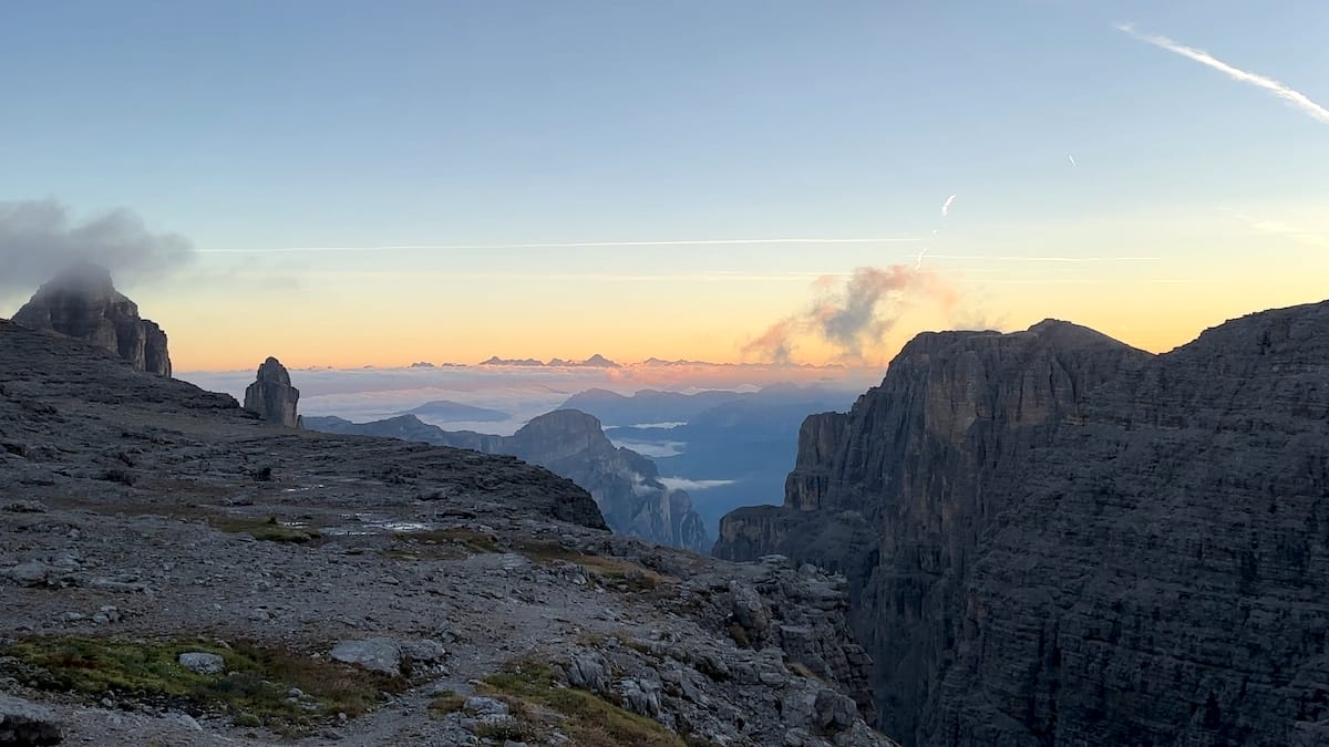
The morning was beautiful. I was up early, packed and ready to go. I went outside as the clouds had finally cleared and watched the sunrise. Everywhere was rock of varying size. The low clouds slowly blew by as the orange light grew brighter. I went back inside for a quick breakfast and then headed on. I had a big day today and I knew it.
Towards Rifugio Forcella Pordoi
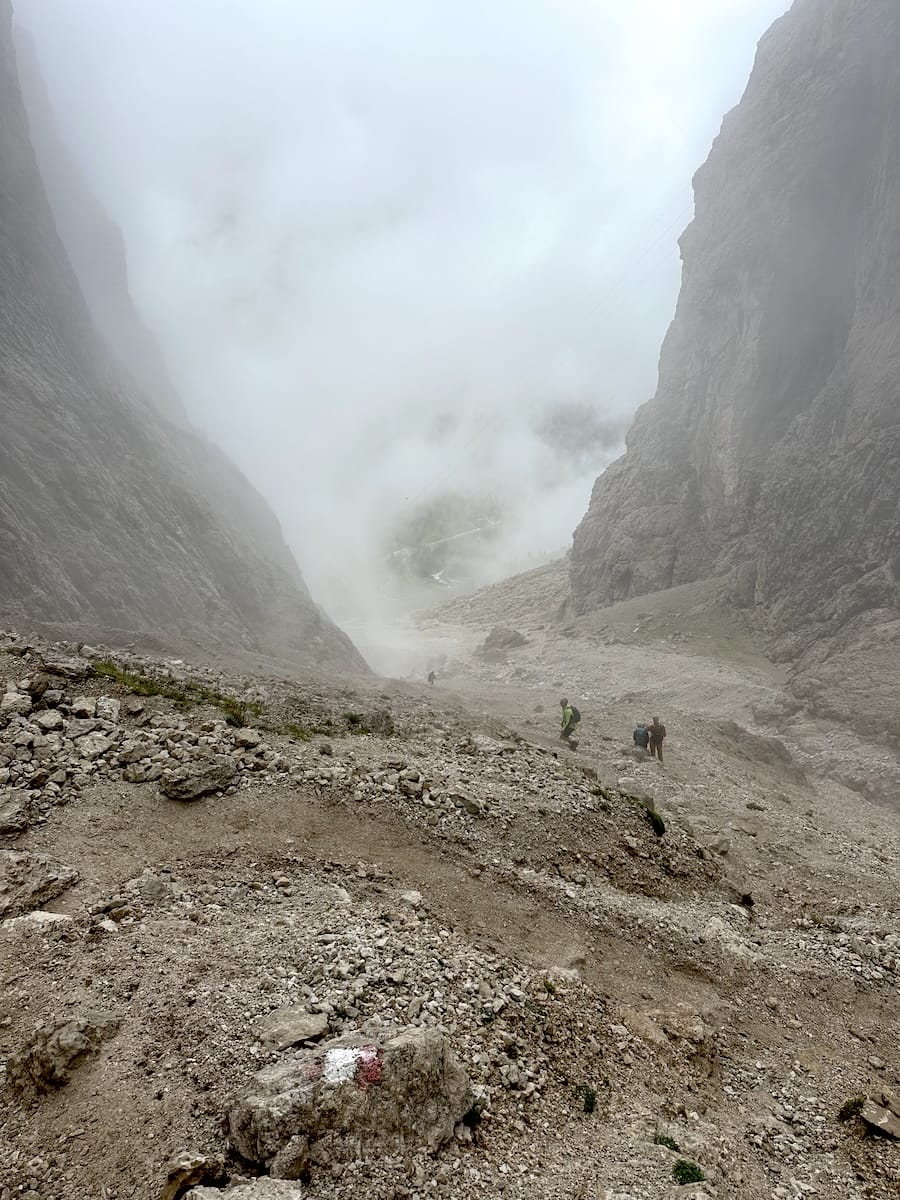
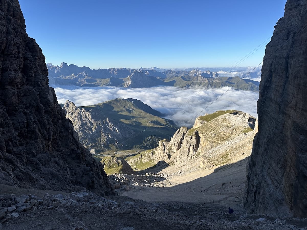
The first section of trail is all rock descending at a slow pace as it meanders towards rifugio Forcella Pordoi. A pleasant wide open experience that feels more like the moon than anywhere on earth. I loved it. Arriving at Forcella Pordoi, I came across the giant crevasse leading down towards the inviting pass. In front of me stood endless switchbacks through scree, flanked by giant rock faces on either side. In front stood my first destination for the day, a valley road with green grass. Further in the distance mountain peaks separated by a wonderful cloud inversion. Awesomely picturesque!
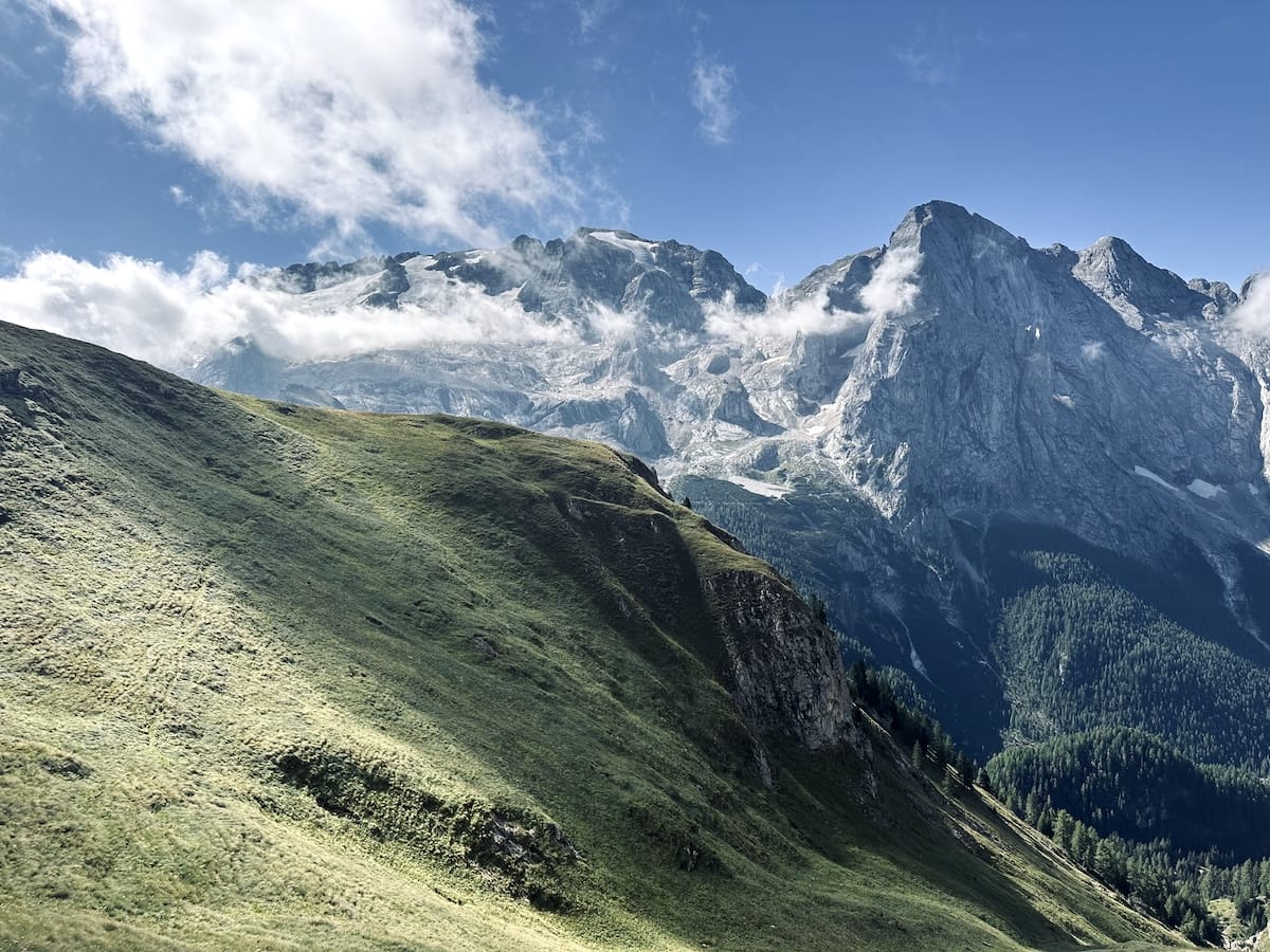
I headed down making my way through the switchbacks eventually arriving at the pass. The few remaining clouds had finally lifted. The sky was blue with patchy low clouds and the grass was the most beautiful green you can imagine. I crossed the road and headed back up. This wasn’t much of a hill compared to the others but nonetheless another short climb. At the top, I passed another rifugio and continued on approaching the ever present Marmolade group. This trail is a very popular area as the next road pass isn’t too far and the path mostly rolls up and down on a wide open track parallel to the massive glaciated peaks on the other side.
The trail follows this grassy slope for quite a while, very typical of the Dolomites. This side of the hill was a massive grassy slope while the other half is a cliff that looks like the land just fell off from the ridge line. This whole section is worth a photoshoot.
Malga Ciapela
Arriving at Rifugio Viel del Pan the trail continues for a bit then drops sharply to the man made Lago di Fedaia. The road was busy, and the rifugio was as well. I saw a walkup window for food and jumped in line. There were easily 15 people ahead of me. Just then, I noticed a bus. I had already decided on taking the bus down to Malga Ciapela as its not advised to cross over the glacier without traction devices and the trail down next to the road wasn’t appealing to me. Turns out this was my bus so I jumped on.
Malga Ciapela isn’t much. A hotel, a bar, a very small grocery store and a few other things. I went into the store and asked for a couple of sandwiches to go and got a nice drink as well. Outside in the sun, I ate my lunch on a bench. Somehow I lucked out on this whole series of events. The bus only runs every two hours. Had I missed that one I would have been stuck at the top of the pass for quite a while. In addition, the grocery store is closed from 12:30 – 15:30 and I arrived at 12:20. Perfect timing!
Over the next 7 kilometers I would gain another 1000 meters. Leaving Malga Ciapela, I found it not exactly clear where to go. I headed towards the campground and continued to walk on the main road. It went past a bathhouse with running water and then the campground welcome center. Further on, I didn’t feel super confident that I was on the right track but I kept going and came to a rifugio and eventually to a bridge. The paved road turned to gravel. Eventually after 4 km I made a sharp right onto an old world war 1 military track.
Forcella Rosa
After the boring monotony of the gravel road the military track was a welcoming surprise. The well-maintained trail moved through a lush forest, offering beautiful views. It felt like a fairytale. Eventually emerging from the forest, I was back onto typical single track hiking trail and could see my destination, Forcella Rosa far up ahead. Reaching the top, the clouds started to thicken and the wind was cold but with every clearing I got an amazing view of the valley below. Smooth rolling, green, grassy hills at lower elevation, massive jagged grey rock at higher elevations. It was a beautiful stroll down to the pass.
That night I was planning to camp again. I looked at the map for a place and could also see Lago di Cavia on the next plateau as I descended towards Passo San Pellegrino. It looked flat enough and had some tree cover. At the pass I filled up with water for the night and then headed back up the trail. It was late in the day, 1800 and I was losing light. 3 quarters of the way up I saw a faint side trail to the left and followed it. Not too far off trail there was a makeshift fire ring. A little further into the woods I was completely unseen from the trail and found a spot for my tent.
I ate a sandwich and tried to plan out the next day. I didn’t have any reservations for the rest of the trip and I saw that some bad weather was coming later in the day. I called ahead to Rifugio Rosetta and luckily they had a bed available. I was relieved as I didn’t feel like camping in the rain again.
September 8 |
Day 5: Stealth camp to Rifugio Rosetta
Distance: 22.6km | 14mi | Time: 8.5h
Elevation: ^ 1,659m | 5,443ft
End point: Km 106 | Mi 65.9
I woke up at 5am knowing I had a big day ahead. I would be combining 2 stages again but this time one was rated 3 and the other was a 3+. Unbeknownst to me at the time, this would be my last day on trail.
My body was tired from all of the punishment I had endured and the lack of quality sleep. I had already hiked more than 6 stages in 3.5 days with a full pack including camping gear, camera equipment and a via ferrata set. There was a lot rain moving into the area and from what I could tell it would be there at around 15:00. I had a plan for the day… 22km.. and I had to finish by 15:00. I packed up and moved on.
My hike started in the dark while my headlamp illuminated the way. It was a beautiful morning and reminded me of my dirtbag thru hiker days. As the sun started to rise, the morning light was beautiful. The plateau itself was nothing special, mix of gravel roads and ski lifts but the surroundings further out were very pretty.
Passo Valles
Descending down to Passo Valles there was a single small rifugio. I went in for a coffee and a croissant. After refilling my water, I crossed the road and headed back into the mountains. The trail followed a grassy ridge line up for a ways as I continued to ascend. There were a few hikers behind me and I passed two younger Americans coming down from the pass. A couple of sections had cables. It finally felt isolated and wild here.
Rifugio Mulaz
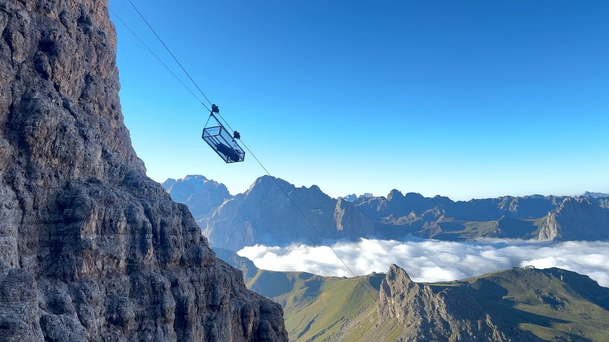
On one side of the trail, I was walking below towering cliffs while on the other there were huge sweeping views of grazing pastures. I thoroughly enjoyed this section of trail. There were a few cable-aided sections, but nothing too dangerous. Eventually, I made it into the rocky, baron landscape surrounding Rifugio Mulaz. I stepped in for some lunch and was the only one there as it was late morning. The remoteness of this hut seems unviable until you realize nearby there is a gondola that whisks people up for a short walk down to the Rifugio.
Passo Delle Farangole
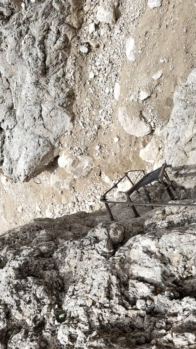
Leaving Mulaz approaches the most difficult pass of the trail, Passo Delle Farangole. But first, I needed to ascend the endless timber supported switchbacks. I could then see my destination. It looked just like the photo in my guidebook although from my vantage point, it seemed more daunting. A scree filled bowl, that dropped on the right side like a funnel. I made my way around the left side of the bowl staying fairly level with the contour lines and did just fine. On the other side of the bowl was the final climb into the notch where the trail crosses over the pass. This is why I carried my via ferrata set this whole way. After crossing a washed out scree shoot where a large boulder had rolled down the hill I started with the ladder section, climbing vertically up while clipped into the cables. It was challenging, to say the least but there was a group of 3 younger guys following closely behind me who had no gear at all. Not my cup of tea. I made it to the top and felt awesome.
This wasn’t quite the end of the aided section. The trail continues straight down with more ladders through a vertical gully. The sun was shining and I was having so much fun knowing that I was securely clipped into the cables. I took some video of myself climbing down and eventually made it to the trail where the switchbacks started back up and the angle of descent eased eventually arriving at a wide open ravine, Val delle Comelle, “Valley of Chickens”.
Val delle Comelle, “Valley of Chickens”
“The path can feel a little exposed and vertiginous as it cuts across sheer mountainsides”.. I skimmed over that part in the Cicerone guidebook. The next two hours made me very nervous. It was certainly exposed and vertiginous to say the least. During the first stretch I came across a few sections of washed out trail. About 15 feet across to the other side, I slowly moved across loose dirt foot holds while hugging the wall and holding on to blades of grass with my hands, trying not to look down. If I slipped, I was going to fall 500 meters into the Valley of Chickens. That first section of washed out trail rattled me. I was low on calories, dead tired from doubling stages, worried to get to the rifugio before the storm came and now facing hair raising exposure.
The next section was a kilometer or 2 of cliffside walking. This was however aided by cables. I made my way around the shoulder where the cliff section ended. The trail dipped down into a spot that would work for camping before ascending the next rock section, a straight forward trail to the rifugio.
Rifugio Rosetta
I arrived at Rifugio Rosetta at 15:00 just as the sky started to dump cold rain. I ordered a bowl of soup and calmed my nerves. I found my bed and chilled out a bit before dinner.
I texted with my wife who was home with our 2 young boys. One of which had a severe stomach bug and the other had just gotten over it the day before. Meanwhile she was working, she needed help.
I looked at the upcoming weather. It was Monday. On Thursday, there was a snow storm blowing in that would dump 11cm of snow. I later found out that a Canadian woman on the AV2 got stuck in the snow that day near my first campsite and died as the weather prevented her rescue and she was unable to make it to rifugio Puez.
September 9 |
Day 6: Rifugio Rosetta to Gondola
Distance: .5km | .3mi | Time: .5h
My Decision to go Home
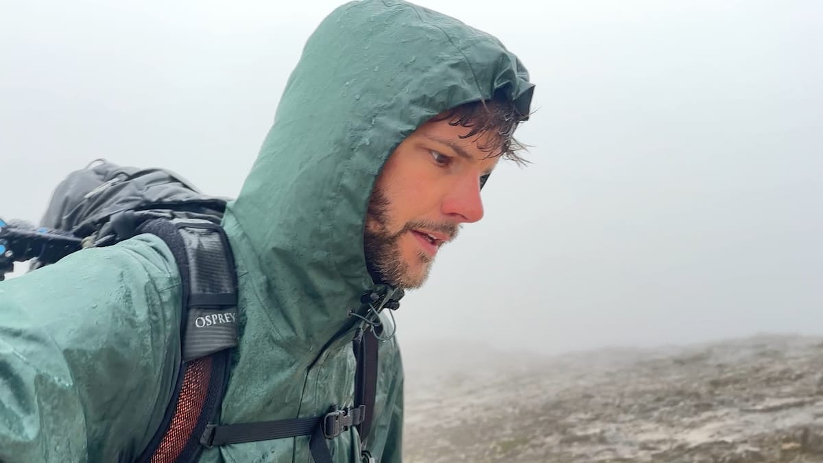
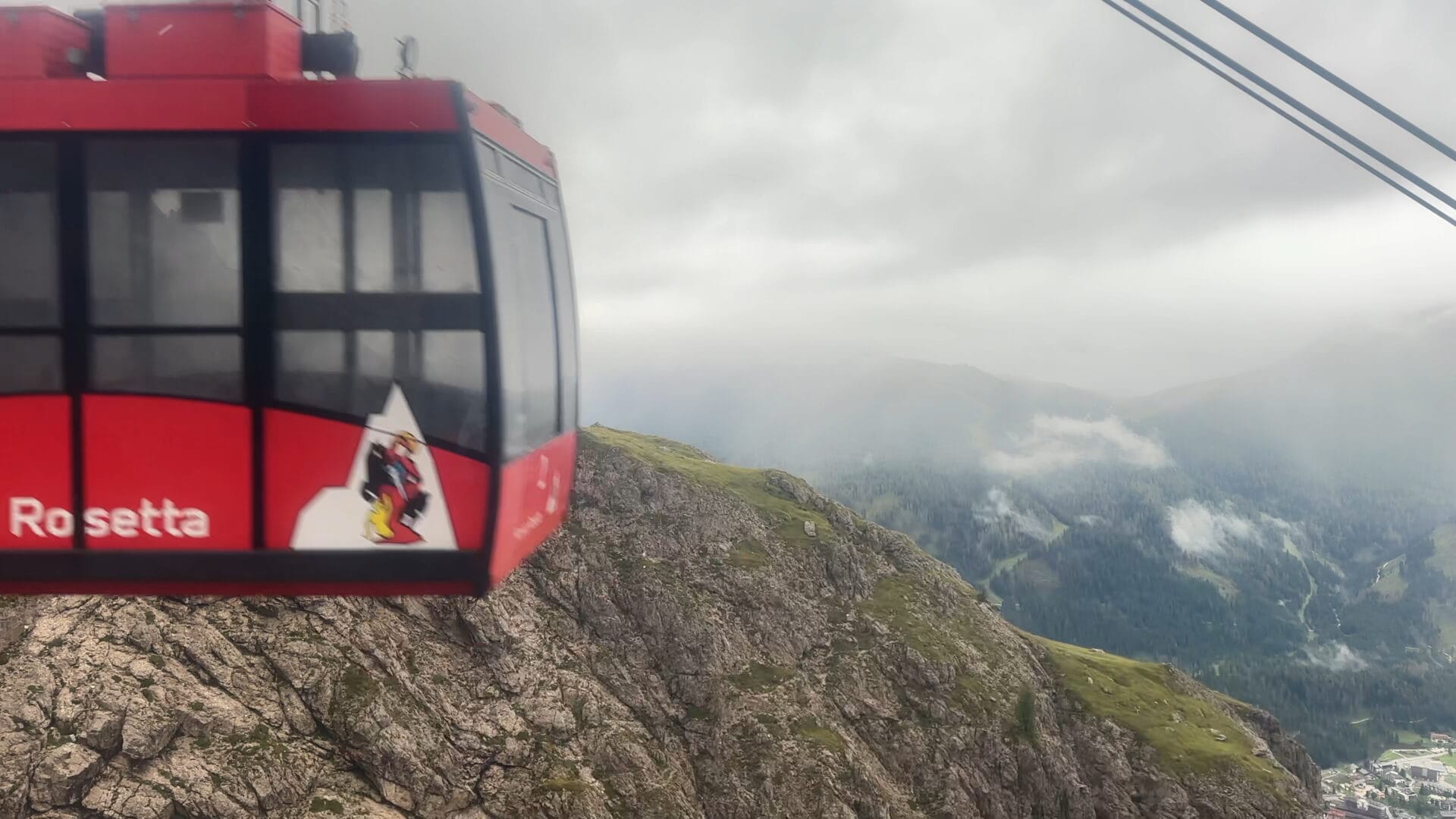
When I woke in the morning it was still a dreary cold rain. It had rained for 18 hours straight. Sadly, with all of that, I was done. Hiking the Alta Via 2 in September is typically the ideal time, however that wasn’t the case for me that year. There was a gondola about 500 meters from the rifugio. I headed that way at 8:00 through the rain and took the first one down to town.
I set out to hike this trail on a whim as I had read through some online blogs. The lack of planning combined with my stubborn thru hiker mentality led to me going home after Rifugio Rosetta (Stage 8 of 13). Although I didn’t finish the hike, I did have a great time. These mountains are truly beautiful and unique. So much so that I have already planned a hike of the Alta Via 1. There are just some things I learned and will do differently next time. Check out my full gear list.
- End point for the day is based off of the Cicerone guidebook “Trekking the Alta Via-2” by Julian Price which is why my daily distance defers from my “end point”
