Backpacking the Four Pass Loop in September
An Extended Version – 9 Passes
Colorado, USA
Overview
September 20 |
Day 0: Arrival
Distance: 0km | 0mi | Time: 0h
End point: Difficult Campground
I flew in from Charlotte to Denver on Frontier airlines arriving in the morning, took the light rail to the 38th and Blake st, then rented a scooter to get to the Denver Central Market. I had stayed in North Denver for a month before and knew I wanted one of those delicious Farmer’s Bowls from Izzio’s. I then walked to the Hertz downtown to pick up my rental car, a brand new Subaru Solterra EV. I needed to grab a few supplies while in town. I generally prefer to pack most of my backpacking grocery store food and travel with it as long as the weight isn’t too heavy, and then pick up some last-minute essentials like fuel and dehydrated dinners at the outfitter in town, this time being the REI downtown. After a quick stop and a little extra charge for the Solterra, I headed up the mountain to my campsite for the night. I had arrived a day early and reserved a campsite at Difficult Campground off of highway 82 near Aspen. Nothing fancy, but an easy place to stay the night, acclimatize some, and be ready to hit the trail early the next day.
September 21 |
Day 1: Hike to Capitol Lake
Distance: 21.1km | 13.1mi | Time: 9h
End point: Km 21.1 | Mi 13.1
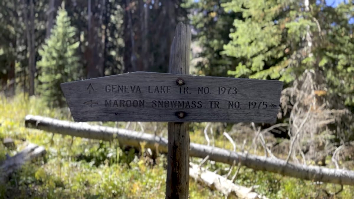
I woke up early that morning, packed up, and drove to the Maroon Snowmass Trailhead arriving around 6am. I was a little nervous about the parking lot being full so I wanted to get there early. One of the benefits of starting here instead of the more common trailhead on highway 13 is there is no need for logistical planning. No parking permits, no shuttles, no concern of when you arrive or depart.
Maroon Snowmass Trailhead
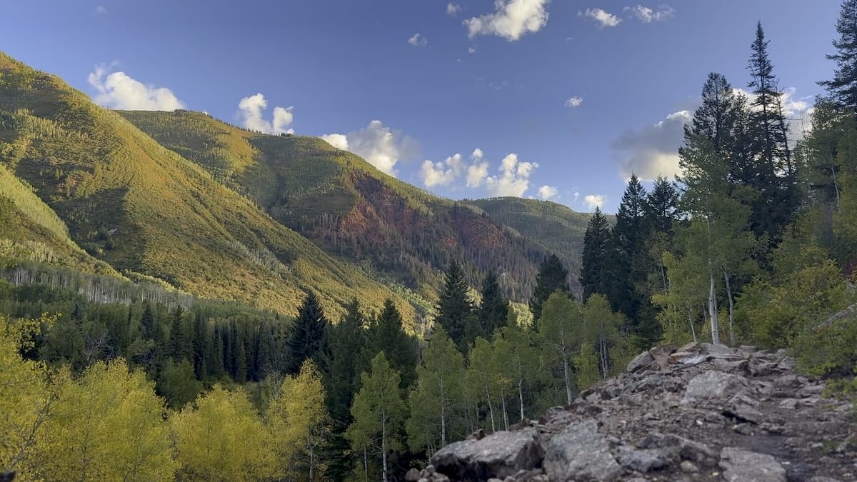
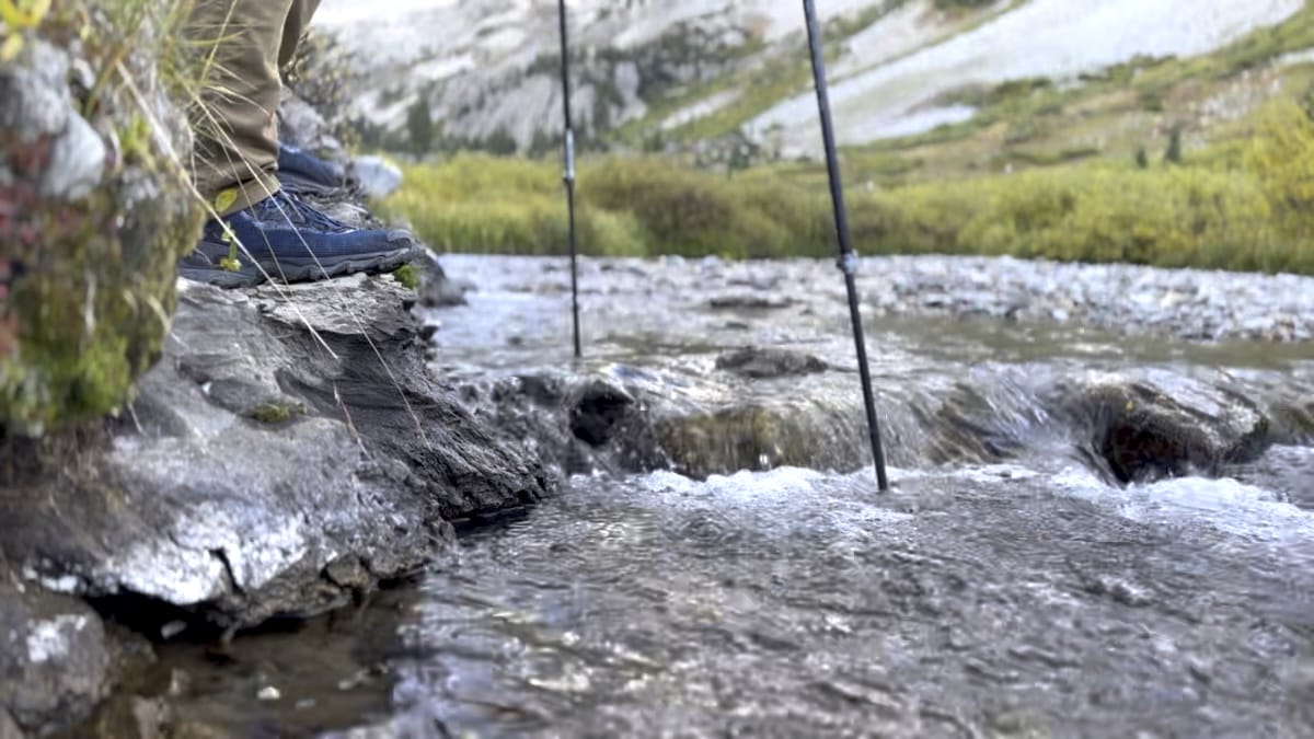
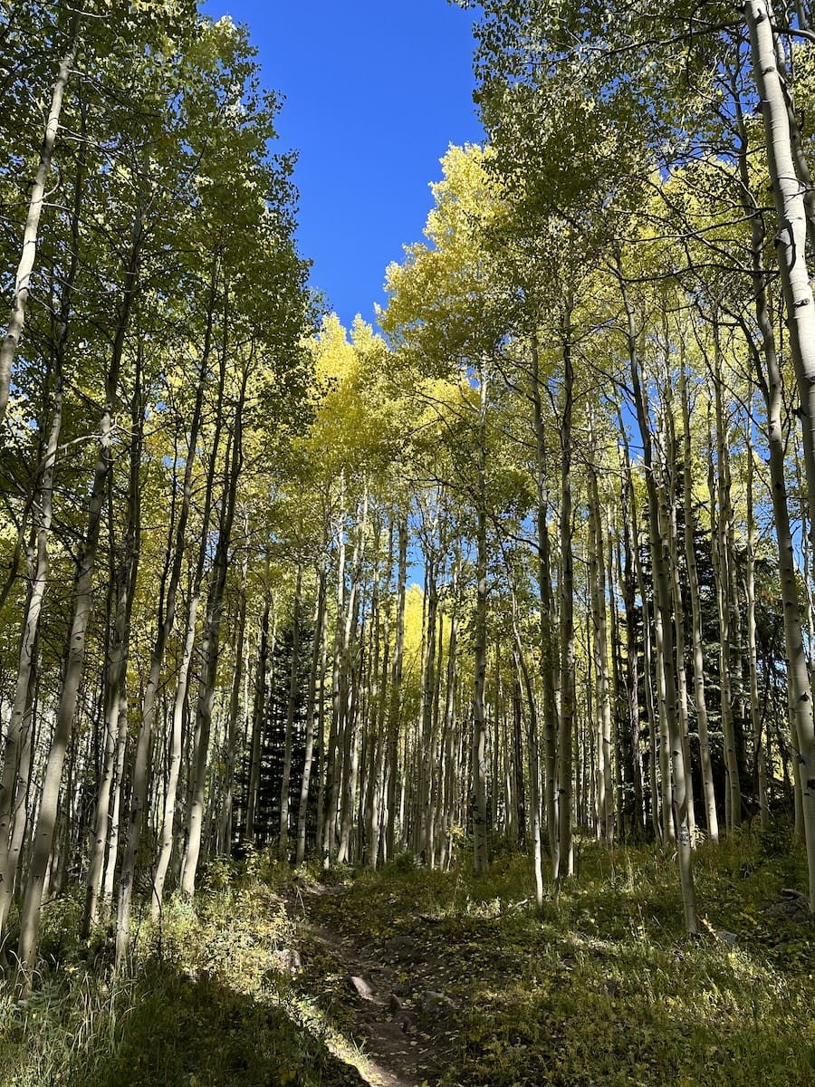
I packed my bag, grabbed a few wag bags from the trailhead kiosk and started my hike up for the Maroon Snowmass Trail. It was quiet, a little chilly and calm. The trees were just starting to change color and the Aspen were absolutely beautiful. Not all groves had started to change bright yellow but the ones that had were stunning. 1.6 miles into the hike, I came to my first junction, turning right and making my first stream crossing. I did it barefoot with trekking poles and made it across just fine. Maybe crocs would have helped, but this was the only time on the whole trip that I would have used them so I’m glad I didn’t carry them an additional 64 miles just for this stream.
Capitol Lake
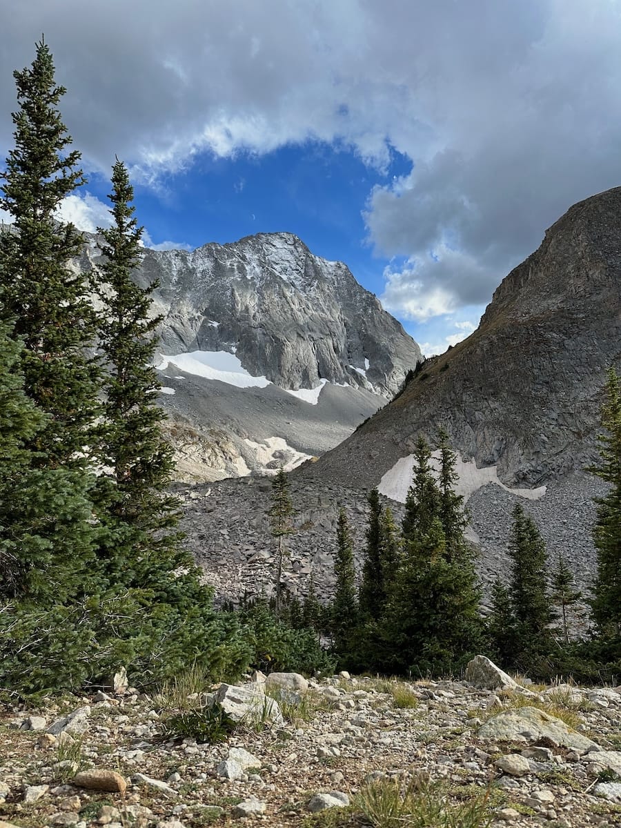
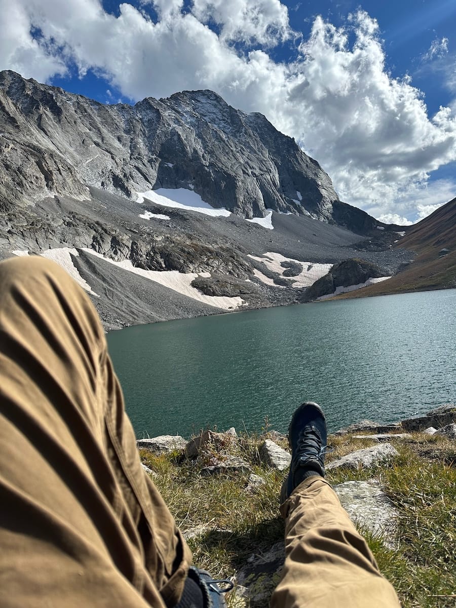
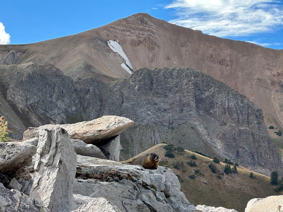
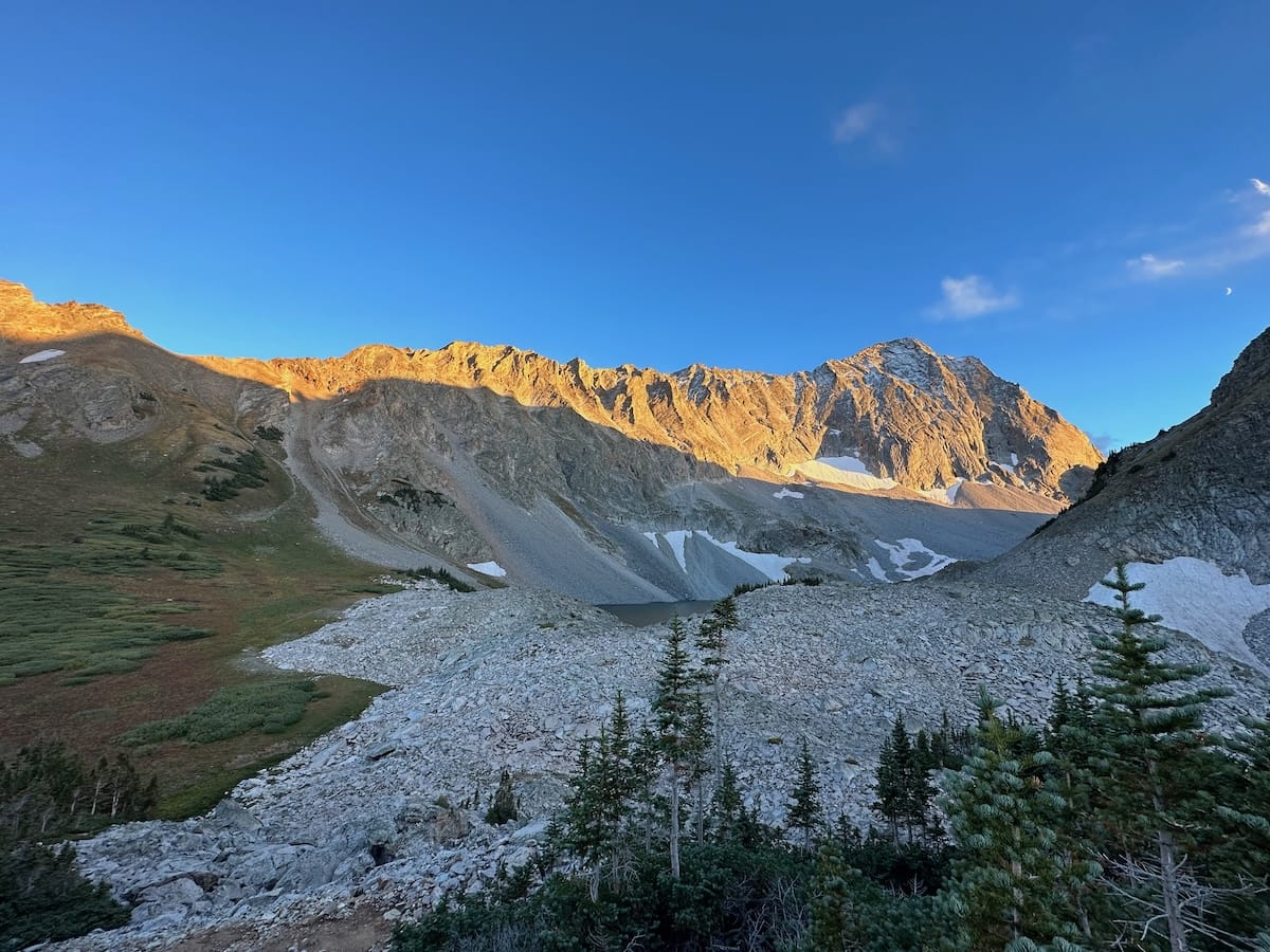
The trail continues to rise as it gains elevation and meanders in and out of trees with the occasional stretch of mountain views until I reached my first pass skirting by Haystack Mountain on a grassy patch at 11,700 feet. The trail then began to descend in and out of the forest before once again climbing and linking up to the Capitol Creek Trail on its way to Capitol Lake. The day was beautiful. Blue skies with soft white clouds rolling by. I looked for my site and found an empty tent in its place so I went to the lake for a while to take in the whole scene and hang out with the marmots. Capitol Peak lays there just on the other side of the lake. It’s one of the most difficult of the 58 14ers as there is more technical climbing involved. I could see a group of climbers coming down from the saddle and assumed that their tent was in my spot. These were the first people I saw that day. Such a lovely hike up to this lake.
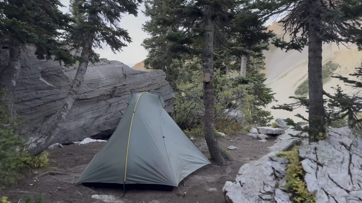
I spoke to the hikers who indeed had left their tent as they summited Capitol Peak. They were super stoked as for one of them it was his last peak to climb of the 58. I had already set my tent up in a different location but as they packed up I decided to claim my rightful spot in campsite #3 as it was much more protected with trees and a giant boulder. This proved to be a wise decision as the night brought in the weather.
September 22 |
Day 2: Capitol Lake to Geneva Lake
Distance: 23.2km | 14.4mi | Time: 10.5h
End point: Km 44.3 | Mi 27.5
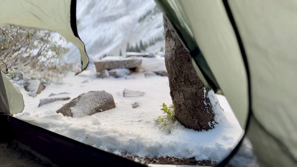
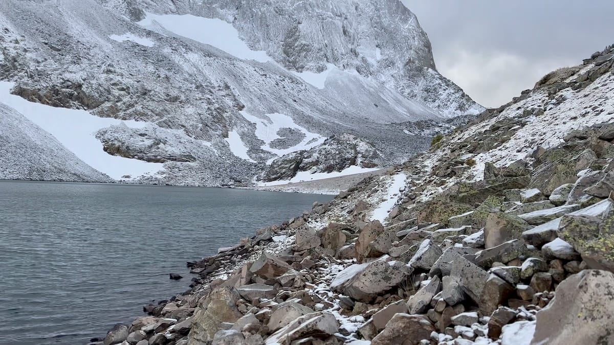
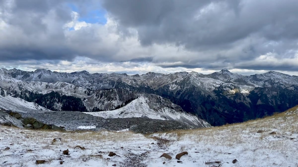
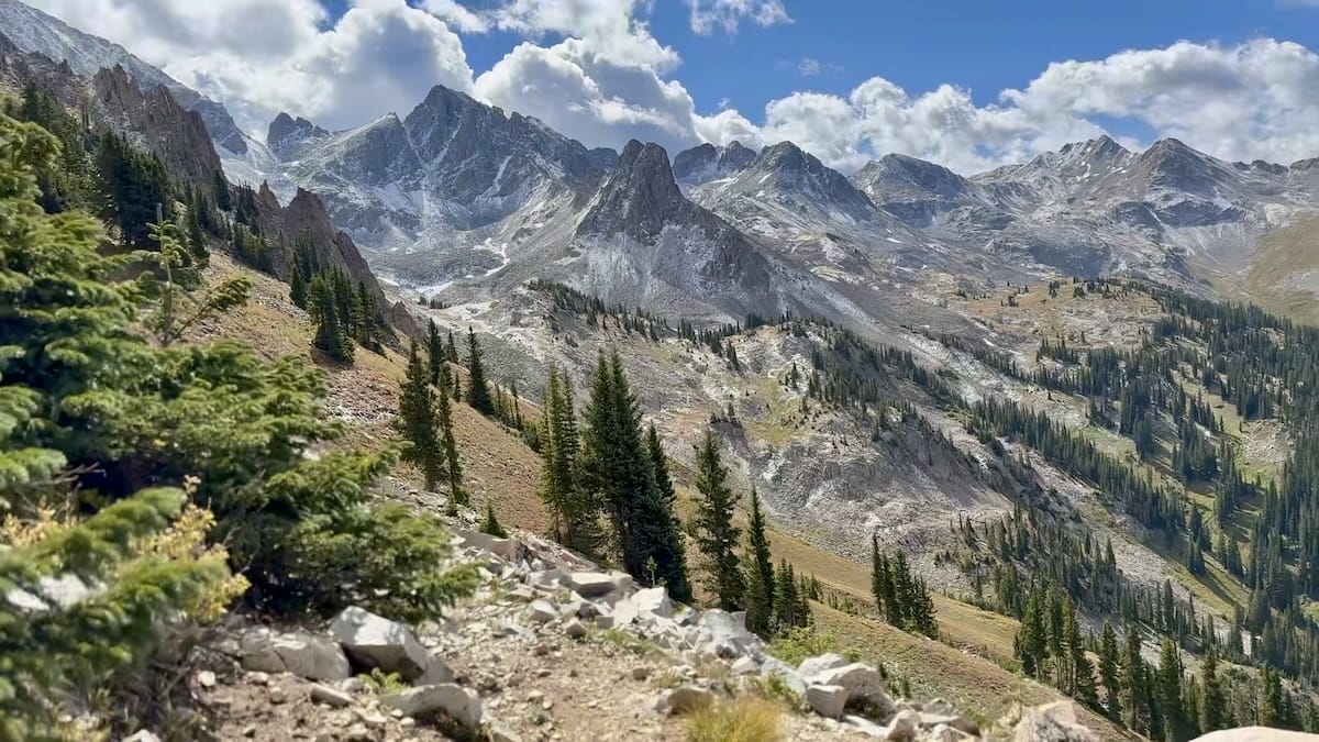
That night the storms came in. There was a tremendous amount of lightning and thunder very close to me. I’ve spent a lot of nights in a tent and this was one of those few nights that made me very nervous. Not only was lightning cracking so close by it also began to snow. By morning most of the weather had blown over and there was a few inches of snow outside my tent. I packed up my tent not sure what to do. Should I continue on or should I turn back. I started my hike and backtracked 50 feet before talking myself into continuing over the pass. There were dark clouds still blowing over the pass with thunder and I had no idea what was on the other side. I continued for the pass as the wind blew snow in my face. Pushing on anxiously I made it to the top with an outstanding view of the whole snow covered mountain range ahead of me and what looked to be clearing of dark storm clouds overhead.
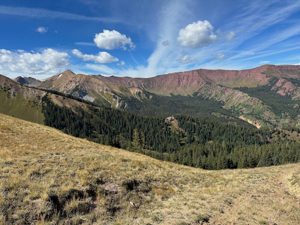
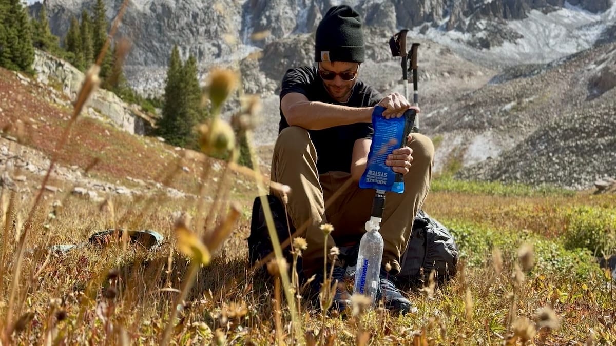
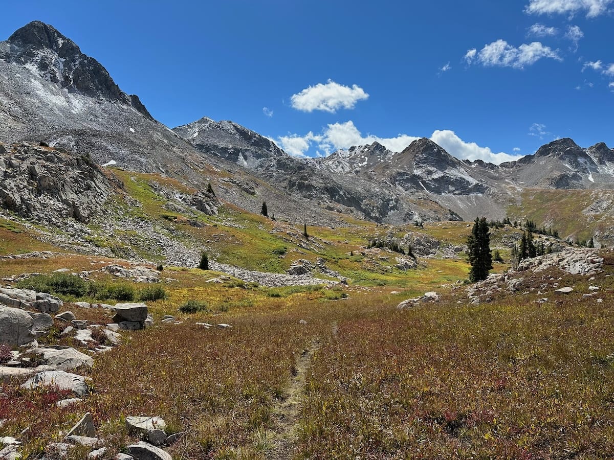
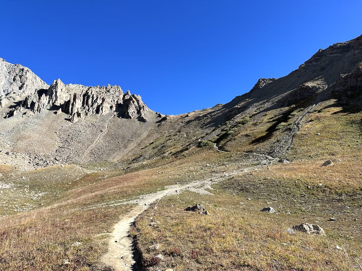
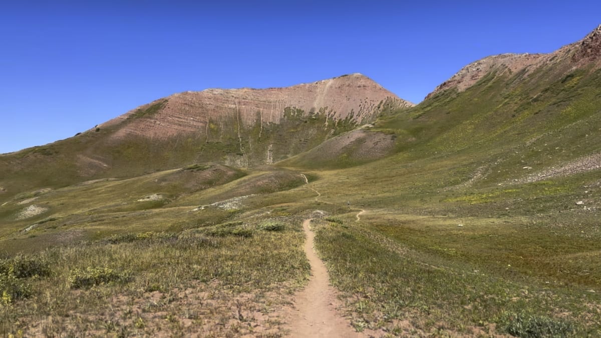
I descended on not seeing a single soul then ascended onto another small pass at mile 18.4 11,845 feet. Slightly dropping down on the other side the blue sky opened and the peaks were magnificent. I stopped for a small break and refilled my water from a nearby stream. Well above tree line this entire section meandered through through grassy fields. The trail itself became a little more faint but with the AllTrails app, I had no problem finding my way up the next pass at mile 22.8 12,242 feet. It was at this point 6 miles into my hike that I saw my first person for the day. The previous 4 miles of the hike were an absolute delight. I thought to myself, this… is where I wanted to be and why I came here.
A Shortcut to Geneva Lake
After catching my breathe and taking in the scenery I dropped down to the next meadow where I stopped to chat with a small group. The older gentlemen told me about a side trail that I could take to avoid descending to the dirt road and competing with the 4x4s speeding along. It sounded like a great adventure as he pointed me in the right direction over one of the grassy fields. As I left the well marked trail going into the unknown I wondered if I should have just stayed the course but my stubbornness kept me going forward. I went up and down a couple of mounds, bush whacking at times trying to find this trail the man had told me about. I had no marked navigation only following the contours on the land and using my gps location on the AllTrails app. It was hot, I was in an exposed area and as I continued on I did finally find a small trail of switch backs. At first I wasn’t sure if it was animals tracks or the trail that I had been trying to find until I saw a boot print. I then knew that I was on the “right” path.
Eventually after going up and over numerous sections of rough trail I emerged from the bushes onto the Geneva Lake Trail very close to the lake. I was relieved, dead tired and thirsty. I told myself that I wouldn’t have done that short cut section had I known what I was getting into but looking back had I had a gps track to follow as I do now… I probably would. It saved something like a 1,000 feet and some miles.
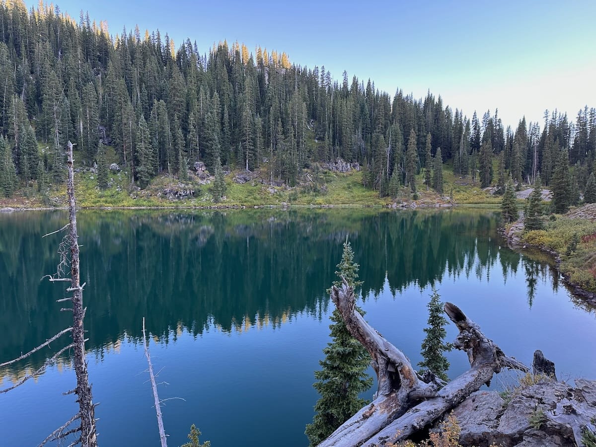
Geneva Lake
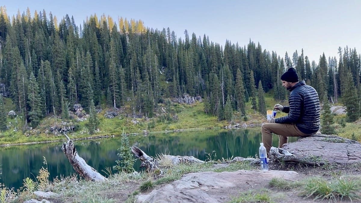
I searched around for a tent site and claimed #2. It wasn’t the best and I met other people that were camped in absolutely beautiful locations right on the lake albeit.. illegally. My mother taught me to be a rule follower and I also have a profound respect for nature so I set my tent up in the less desirable spot and made some dinner next to the lake to enjoy the evening.
September 23 |
Day 3: Geneva Lake to Maroon Zone
Distance: 27.5km | 17.1mi | Time: 10h
End point: Km 71.8 | Mi 44.6
Trail Rider Pass
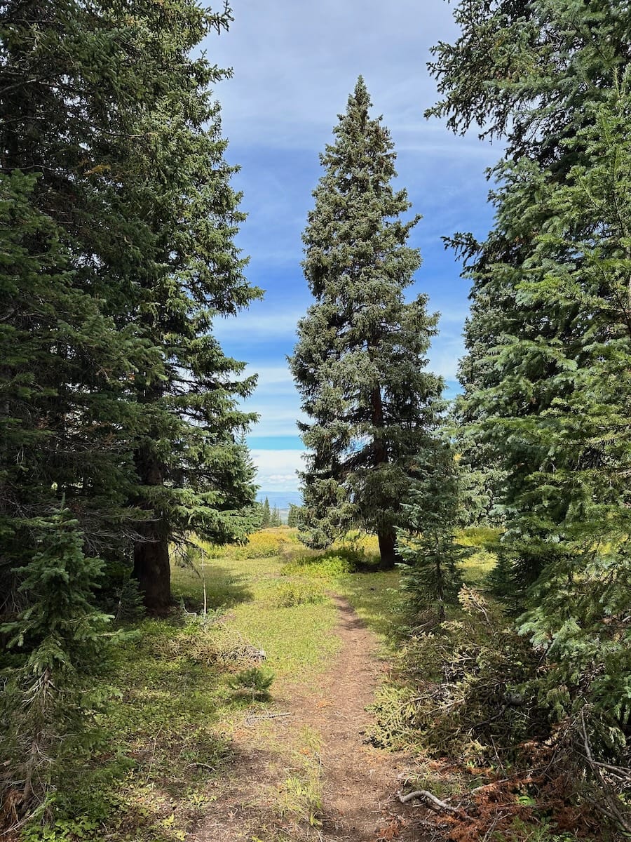
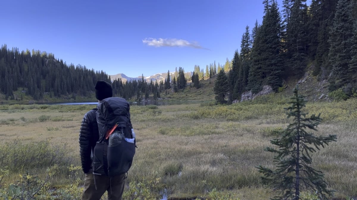
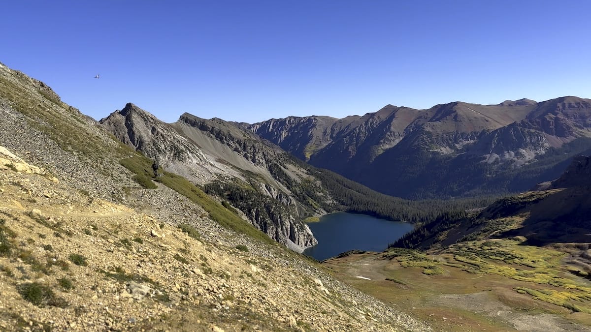
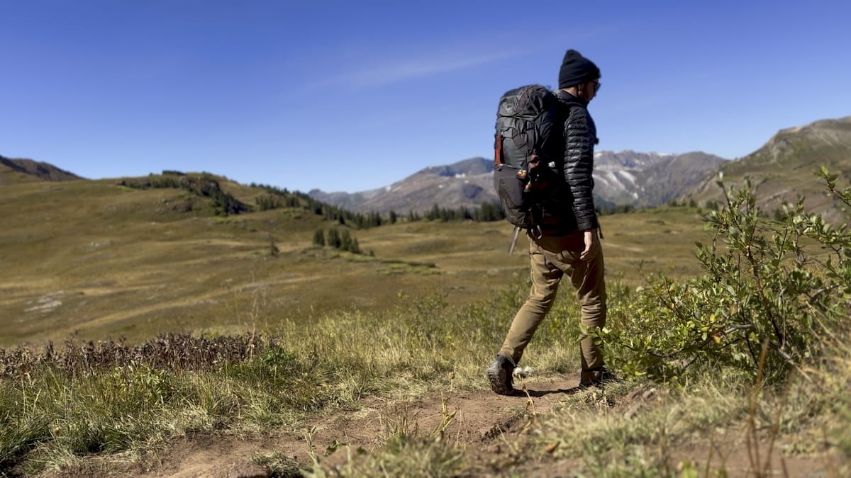
Leaving the lake in the morning, I was starting to get into my normal backpacking routine. Packed up and hiking by 7:30. I started up towards Trail Rider Pass emerging from the woods as the trail comes to a plateau after the signed junction and onto the official Four Pass Loop. Above tree line again I had marked this spot near the pond as a potential camp location later in the trip as this is the section that I would be repeating on my custom itinerary. I grabbed a liter of water from here and mentally noted the campsites. One was next to the pond and a few others were on the other side of the trail nestled in a small patch of trees. This is definitely an amazing camp location right before the final push up Trail Rider. I headed up Trail Rider slowly. Step by step I managed to get closer and closer until I reached the top. Another amazing view, this time overlooking Snowmass lake with views to the left of Snowmass mountain.
Snowmass Lake to Buckskin Pass to West Maroon Zone
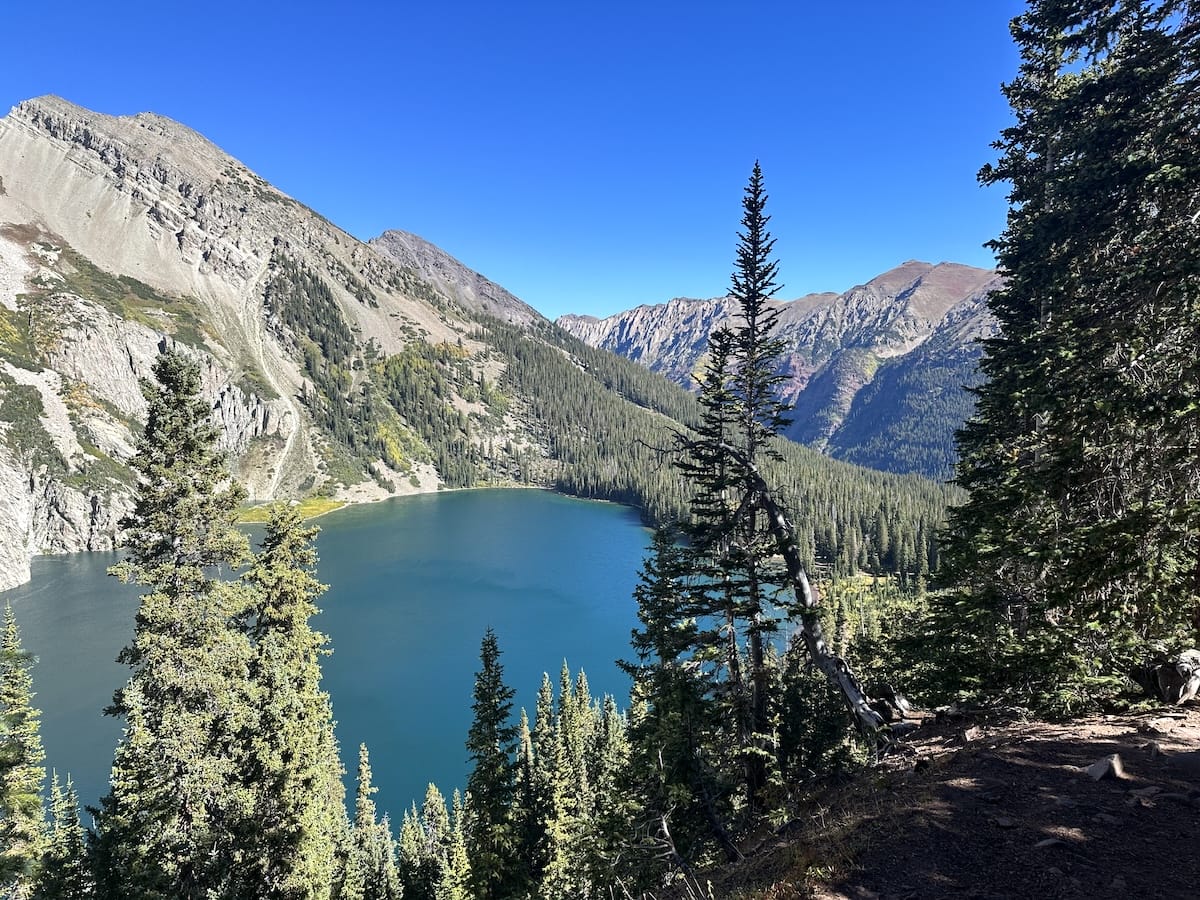
I continued down eventually making it into the forest as the lake got closer and closer. I made it to the boulder field where I had to scramble across medium sized, red rock boulders. For some, this is a section that is a little nerve racking but I had no trouble getting across to the other side and navigating through the wreckage. I came to the lake quickly, taking in the scenery but quickly moved on as I knew I would be staying here later in the trip. From here the trail continues through a beautiful forest for a bit before starting the climb up towards Buckskin Pass at 12,468 feet.
As I came down from the pass there was a rather large campsite on the right at mile 36.8 with water near by. It was and ideal spot but I was about 4 hours early. It was 3 in the afternoon and I still had lots of time in the day. I continued further down as I wanted to add a couple more miles. I entered the Crater Lake zone and looked up at the Bells. The sun was setting behind them and honestly late in the day the view wasn’t that great. Still beautiful, prominent peaks but with the sun behind them it was less that worthy of even a photo. As I passed Crater Lake, I also made my way through the reserved campsites here. At this point, I wish I had one of these sites instead of the Maroon Zone. It was closer to 5 in the evening and starting to get cooler. From here I had a ways up until the next group of sites.
I always run into the conundrum of finding a beautiful site early in the day but not wanting to stop, so I push on hoping to find a perfect site 2 hours later. Sometimes it works out sometimes I have to find the most suitable, flattest spot around for my tent to lay.
West Maroon Zone Campsite
I did manage to make it to the sites halfway up West Maroon Pass. They aren’t the flattest sites but there were multiple options and I had the area to myself. There was a reliable creek about a half mile before that I filled up at for the night. I setup camp, made dinner and took in the views of the valley from which I had just come while the light dimmed into night.
September 24 |
Day 4: 2 Maroon Zone to Snowmass Lake
Distance: 20.1km | 12.5mi | Time: 9h
End point: Km 86.9 | Mi 54
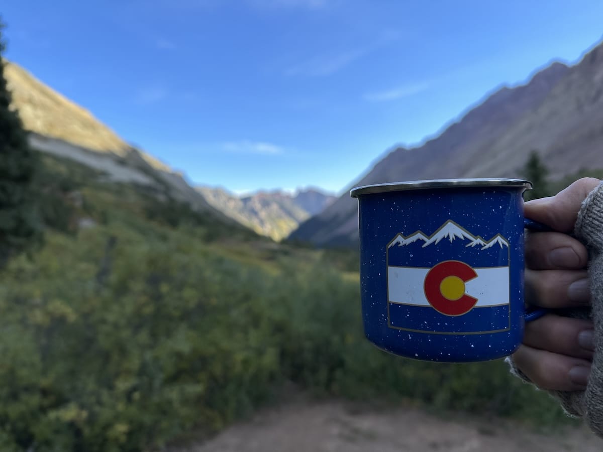
In the morning, I enjoyed my cup of instant coffee from my enamel mug. A recent purchase from Leadville and one of my luxury items. Most of the time I drink from my snow peak titanium pot but something about a true camp coffee cup just makes that instant coffee taste better.
West Maroon Pass
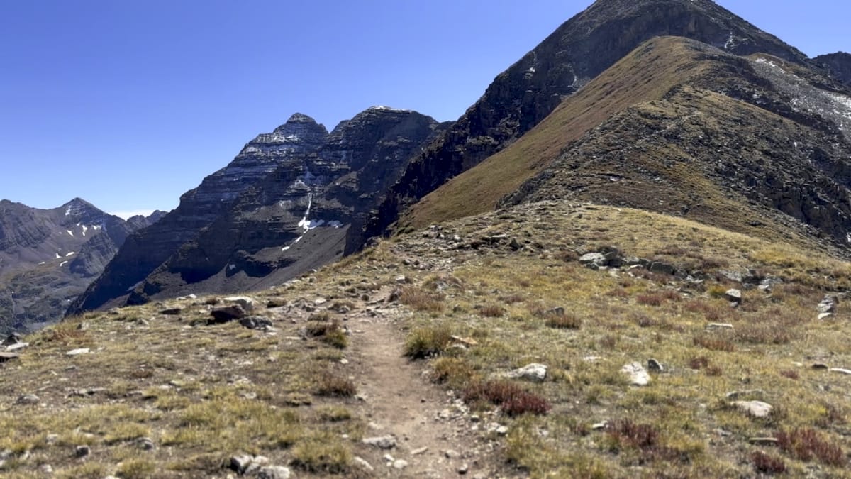
I packed up and continued up towards West Maroon Pass. Starting out fresh in the morning and almost two thirds of the way to the top, the climb wasn’t so difficult. After crossing over I came to the saddle before Frigid Air Pass. This was more of a meandering stroll with huge views to the west and southwest. There are other trails coming from Crested Butte in the area so it seemed a more popular area. As I continued towards the pass, it appeared as though I would continue straight across but just before the climb the trail takes a sharp right and a steep, quick push to the pass.
North Fork Zone
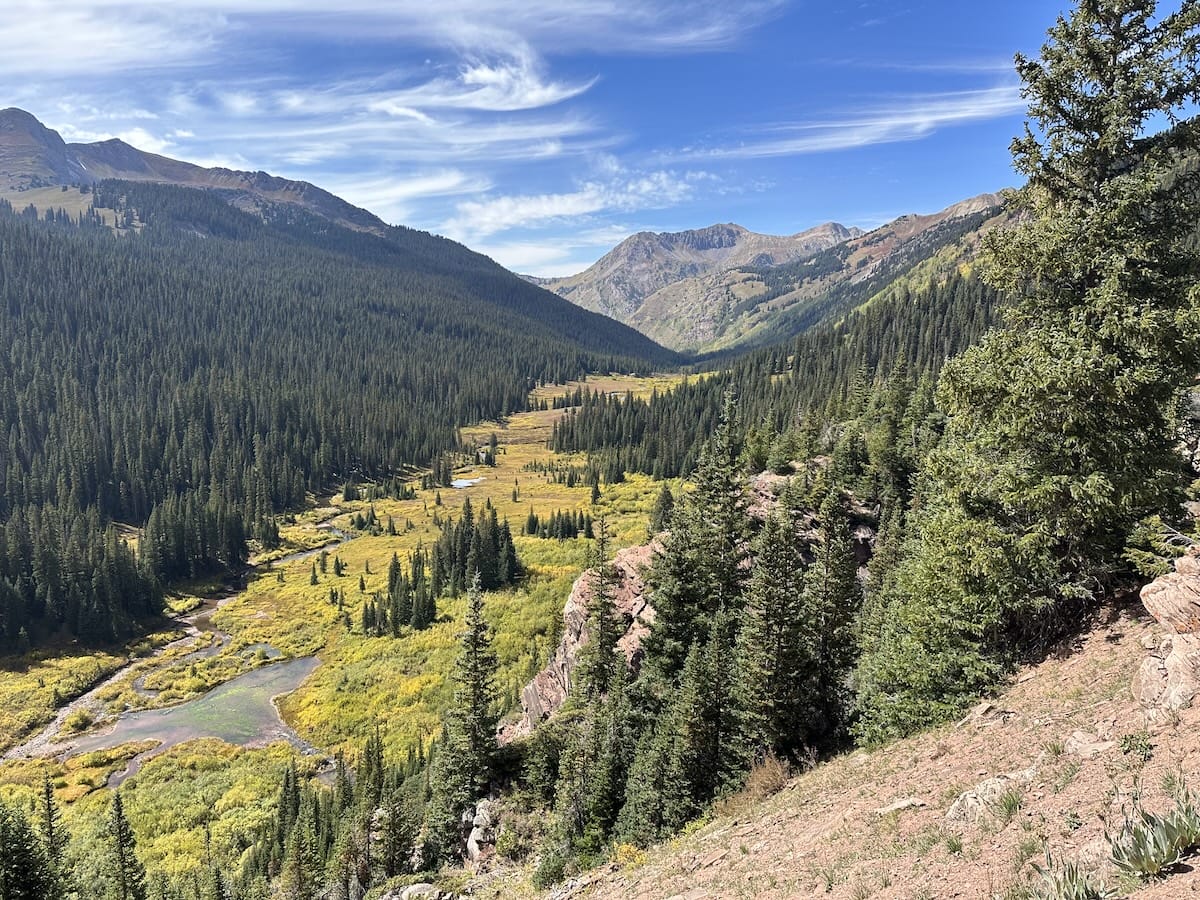
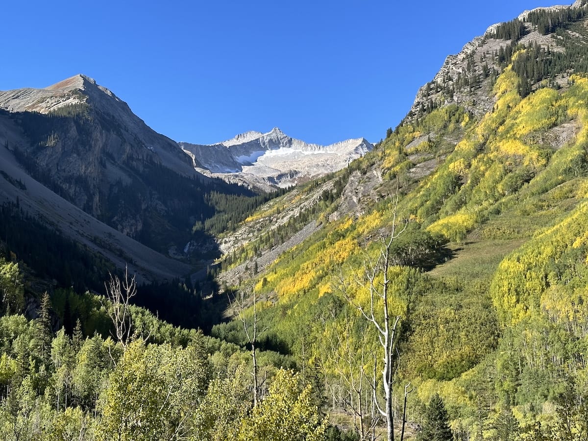
Now in the North Fork Zone, the trail descends quite a bit into the valley below. As I reached the valley floor, I was greeted with amazing views of what I was about to hike through. The river cuts through a large valley with huge peaks on either side. Once in the valley, I enjoyed a relatively easy stroll over a dirt path near the river as the trail continued to descend at a much slower pace. There were multiple areas here to camp and I didn’t really see anyone else around. My original permit was for the North Fork but because I did a bigger day the day before and again it was only 2:30 in the afternoon, I decided to push on to Snowmass Lake and cut a day off of my trip.
Trail Rider Pass from the Valley
This leisurely stroll came to an end when I reached the junction to climb up Trail Rider Pass. I was feeling really good and decided to challenge myself. I hiked to the top without stopping once. Passed the junction to Geneva lake which meant I was in familiar territory again and pushed on. At the small pond, near the top I explored a bit and stopped for water. This would have been another excellent campsite but I was headed to Snowmass Lake. I made it to the top in just under 2 hours from the valley floor. An accomplishment I felt and from here the rest of my hike would be downhill with a night at Snowmass Lake.
Snowmass Lake Campsite
I managed to make it to the lake at about 6pm. Absolutely exhausted but satisfied with myself. This is rightfully so a busy area as its very popular spot for hikers on the four pass loop, hikers coming up from the trailhead and for people looking to summit the 14er, Snowmass Peak. There are campsites everywhere but with my hunger and tiredness setting in, I was being very indecisive. I walked around a bit to take it all in and finally settled on a spot near the lake and creek.
September 25 |
Day 5: Snowmass Lake to Trailhead
Distance: 12.9km | 8mi | Time: 4h
End point: Km 101.4 | Mi 63
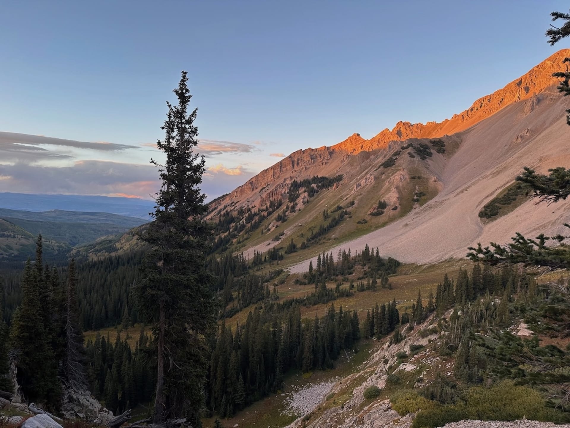
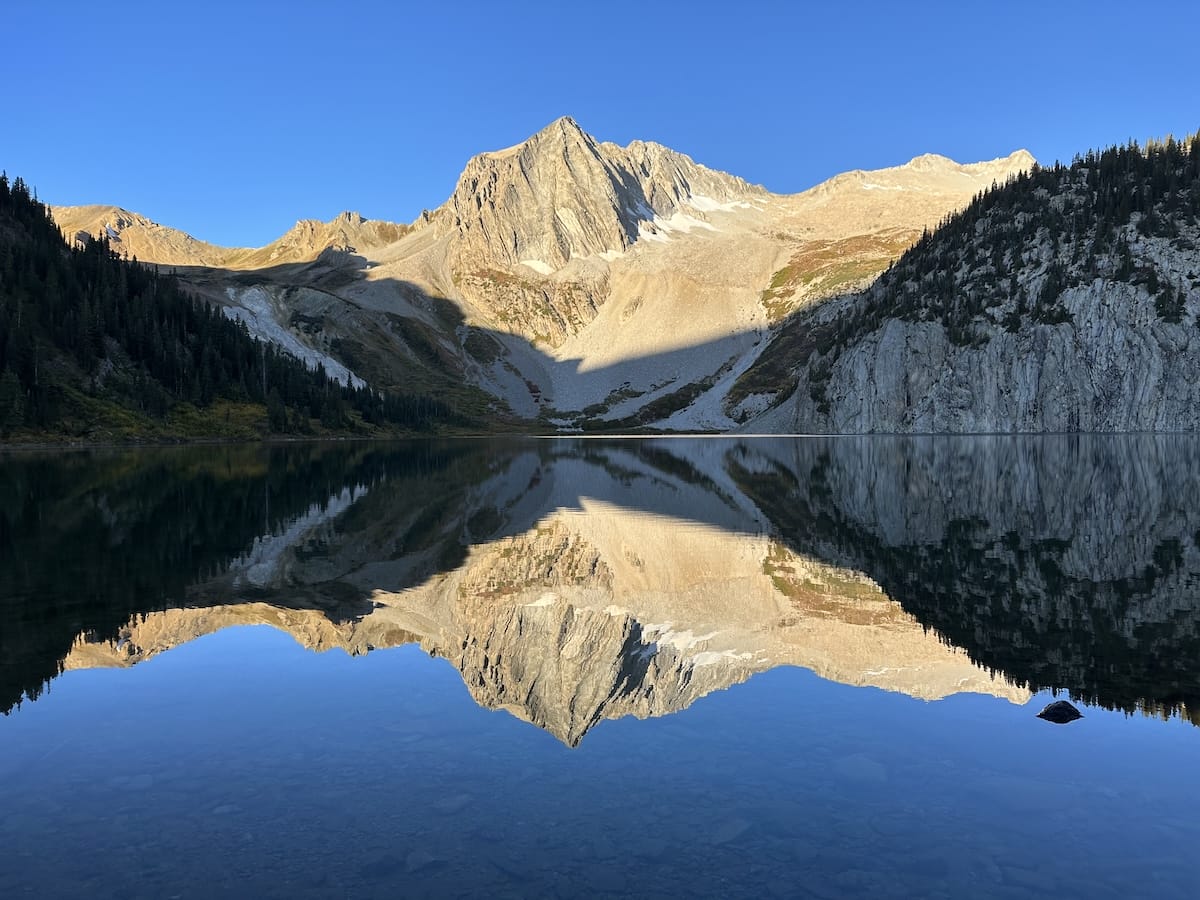
An amazing sunrise from the edge of the lake. I cooked some instant oatmeal and a made a cup of coffee and took it all in. The sun started to touch the top of Snowmass Mountain while the light reflected into the lake. The lake was absolutely still, making a perfect mirror reflection of the area. This is reason why this area is so popular!
After the normal morning routine, I found my trail which initially follows the outflow creek from the lake. I continued on the path as I slowly descended into spruce forest with the occasional aspen grove, about 2800 feet over 8 miles. The forest was nice but aside from a few overlooks the trail was quite mundane. I also had that feeling of ready to be done and wanting a shower and town food!
I eventually made it to my car and had to figure out where to go next!
This was one of my favorite “shorter” trips to date and I’d highly recommend adding the additional loop to it if you are eager for little more. Check out my full gear list.
