Backpacking Virginia’s Triple Crown
Dragon’s Tooth, Tinker Cliffs, McAfee Knob
Virginia, USA
Overview
Intro – Virginia’s Triple Crown
I first came across this area on my Appalachian Trail thru-hike, but this time I returned with a different plan to link Virginia’s three iconic viewpoints—Dragon’s Tooth, McAfee Knob, and Tinker Cliffs— know as “Virginia’s Triple Crown” into a full loop using the North Mountain Trail. A 3 day/35 mile hike through some of southern Virginia’s best scenery. I arrived at the Dragon’s Tooth parking lot around 12:30pm on New Year’s Day and was on trail by 1:00.
January 1 |
Day 1: Dragon’s Tooth Parking Lot to Campbell Shelter
Distance: 18km | 11.1mi | Time: 6-7h
End point: Km 18 | Mi 11.1
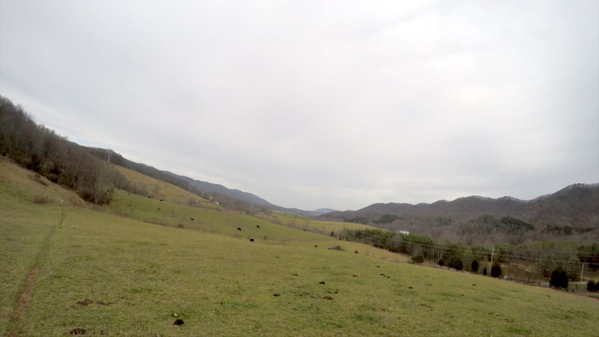
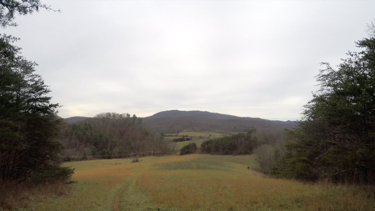
The hike began with a climb up to the AT via the Boy Scout spur trail. After passing a stream and small campsite, the trail led me uphill and eventually into open pastureland. Classic Virginia—cow fields, valley views, and a couple of fence stiles guiding me across VA-785. I crossed Catawba Creek, followed it briefly, and climbed a grassy hill before heading back into the woods.
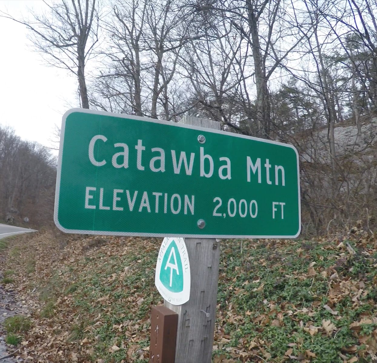
After a steady climb, the trail popped out at the McAfee Knob parking lot on VA-311—much busier than where I’d started. I rejoined the AT northbound and passed the large trail junction and kiosk where most day hikers begin. I stuck with the AT, skipping the forest road, and passed John’s Spring Shelter shortly after. The spring there was barely running, so I continued toward Catawba Mountain Shelter. I found a trickle of water crossing the trail about half a mile before the shelter and filled up—not realizing a much better source was just ahead.
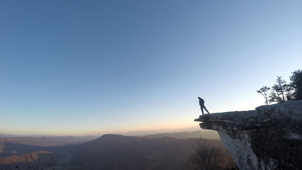
McAfee Knob
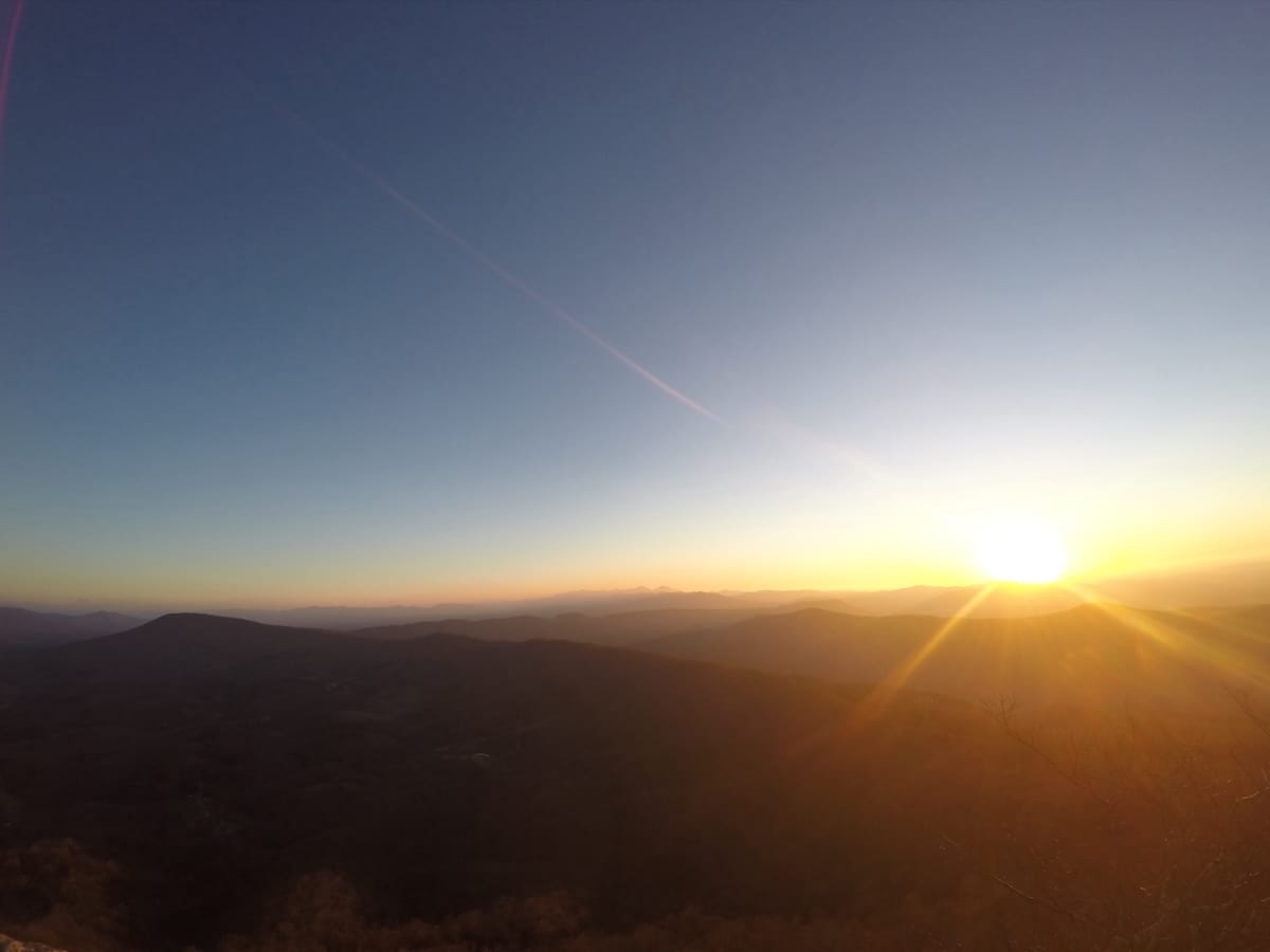
The climb to McAfee Knob from Catawba Shelter was the first real effort of the trip: about 1,000 feet over 1.7 miles. I crossed a forest road near the top and continued north. I reached the knob just as the sun dropped below the horizon. There were a few places to cowboy camp, but official camping isn’t allowed, so I pushed on to Campbell Shelter.
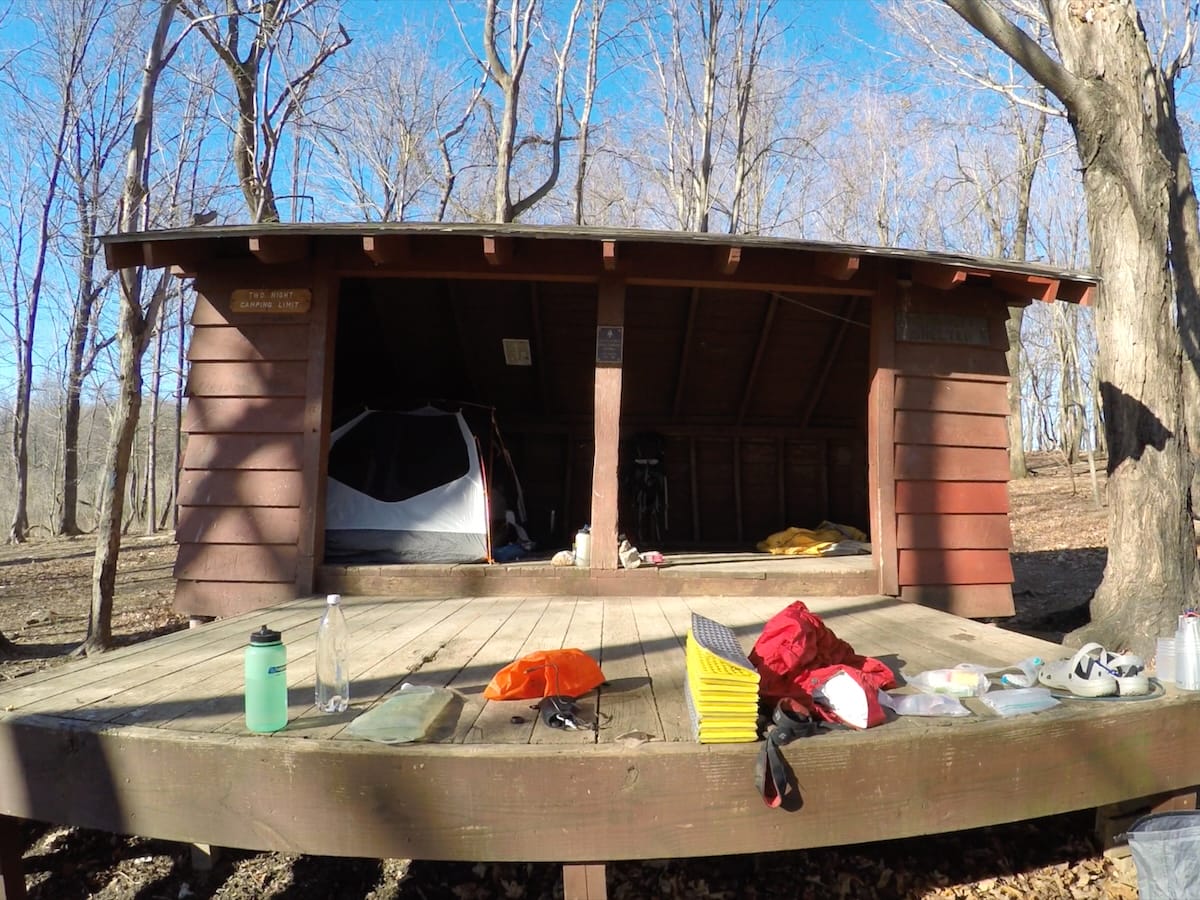
Campbell turned out to be a solid spot—room for six, a big open porch, fire pit, picnic table, privy, and spring. The only downside was that I had dropped 500 feet of elevation, which meant a pre-dawn climb if I wanted to catch sunrise from McAfee. If I were to do it again, I’d probably stay at Catawba Shelter and make the climb in the morning. I hate backtracking.
I rolled out my 20 degree bag, inflated my sleeping pad, and tried to ignore the cold. Despite the sub-freezing temps, I stayed warm thanks to the shelter, my Smartwool base layer and a heavy pair of thick wool socks that I only sleep in.
January 2 |
Day 2: Campbell Shelter to North Mountain Campsite
Distance: 24.3km | 15.1mi | Time: 8h
End point: Km 42.3 | Mi 26.3
First thing in the morning, I climbed back to McAfee Knob for sunrise leaving most of my gear at the shelter. Bitter cold, but worth it. Afterward, I descended to the shelter, brewed some tea in my Snow Peak 700ml pot, had breakfast, refilled my water, and packed up for the day ahead.
The trail between McAfee and Tinker Cliffs was one of the most enjoyable stretches of the loop. It rolled gently, with a few short climbs and rocky features that kept things interesting.
Tinker Cliffs
Five miles from Catawba Shelter, I reached Tinker Cliffs—a dramatic, half-mile stretch of open ridgeline walking. From the edge, I could look back at McAfee and over to North Mountain, my next destination. I dropped my pack, ate lunch, and scrambled around the boulder maze near the far end of the cliffs.
From there, I descended to the Andy Layne Trail junction and turned left to continue downhill. I’d read that North Mountain was dry, so I started looking for water. I spotted a small stream coming off the ridge and decided to fill up—six liters, just to be safe. In hindsight, that was a mistake. Not 20 minutes later I came across a much larger creek with better access and flow. If I did this loop again, I’d skip the early water stop and refill after crossing the road at the base of North Mountain, where a reliable creek runs alongside the trail.
North Mountain
The climb up North Mountain was long—about 1,000 feet—and the trail was narrow, rugged, and noticeably less traveled. About half a mile before the ridge, I passed through a flat area that could’ve worked as a campsite, but I decided to keep going.
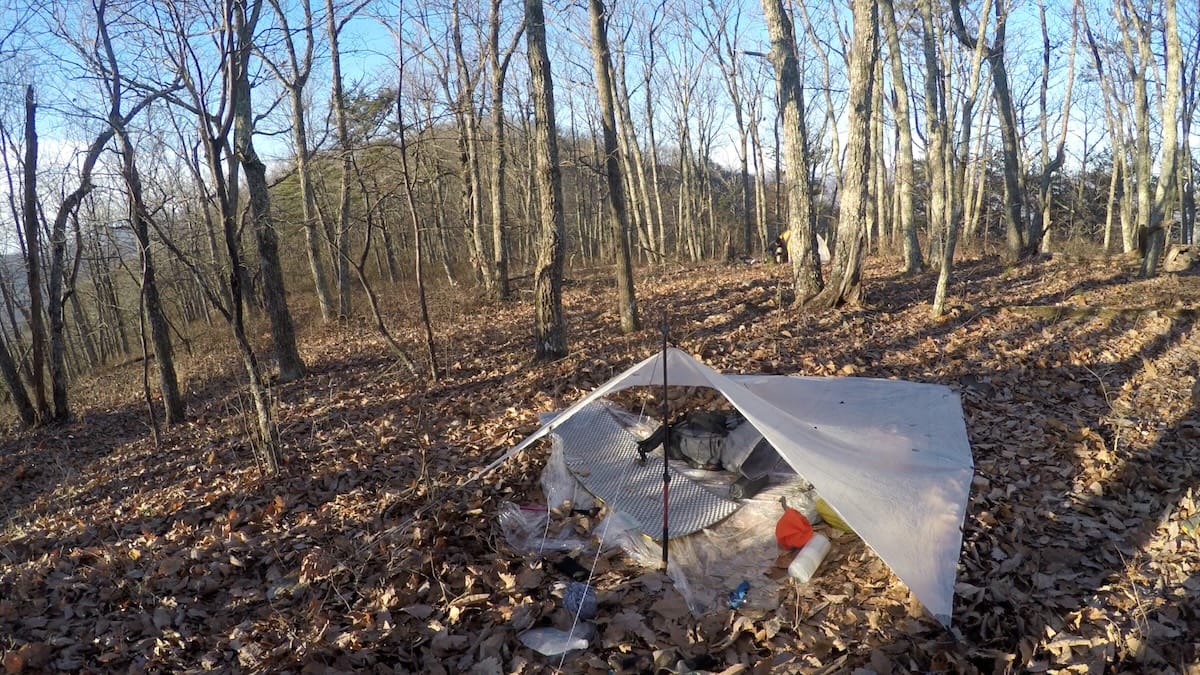
At the North Mountain Trail, I turned left, hiking another mile at dusk before spotting a fire ring about 75 feet off-trail. It was a long day, and I was ready to stop. I pitched my dyneema tarp low to the west, which ended up perfectly framing the sunrise through the bare winter trees and protected me well from the cold wind that blew over the ridge. The early morning view made it one of the more memorable camps of the trip.
January 3 |
Day 3: North Mountain Campsite to Dragon’s Tooth Parking Lot
Distance: 19.7km | 12.2mi | Time: 6h
End point: Km 55.6 | Mi 34.5
The final day was mostly ridge walking—eight miles of undulating trail, with no major climbs but constant minor ups and downs. I passed three well-marked side trails before reaching the final descent. Just before heading downhill, I ran into five mountain bikers getting ready to drop into the valley. I let them go first to avoid a collision and then made my own way down.
At the road, I turned right, walked a short stretch, then left into the Dragon’s Tooth parking lot, closing the loop.
Dragon’s Tooth
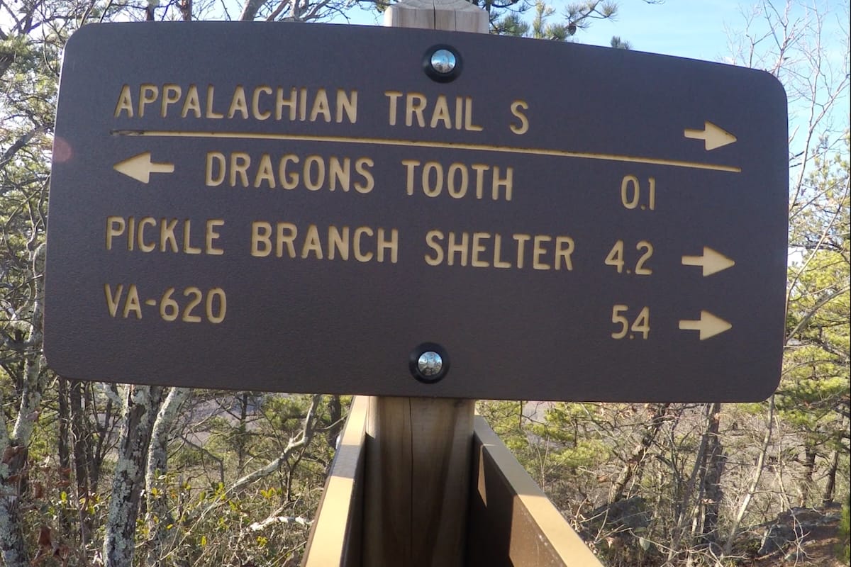
I’d stashed extra food in the truck and took a few minutes to hangout and relax before heading up towards Dragon’s Tooth. With a lighter pack, I retraced my steps up the initial trail, this time turning right at the junction to climb toward the summit.
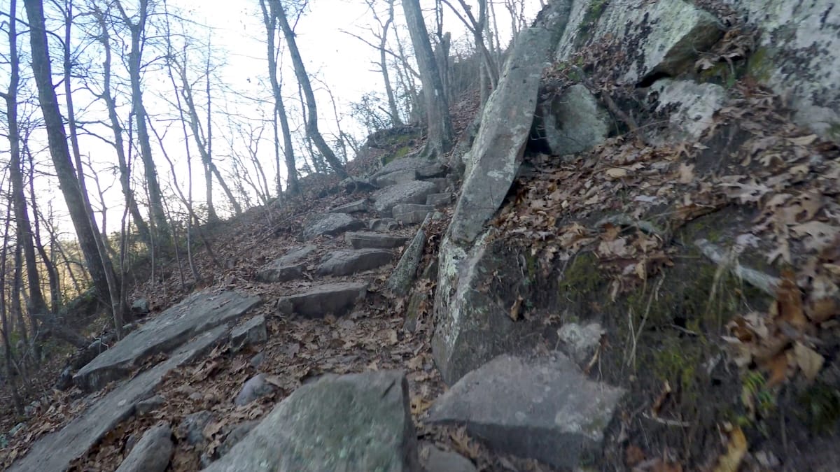
It was steep and rocky, but I was moving fast—helped along by a shot of Mio energy and the freedom of not carrying a full load. The climb was fun, full of scrambling and short rock scrambles. At the top, I followed the blue-blazed spur trail left to the tooth itself.
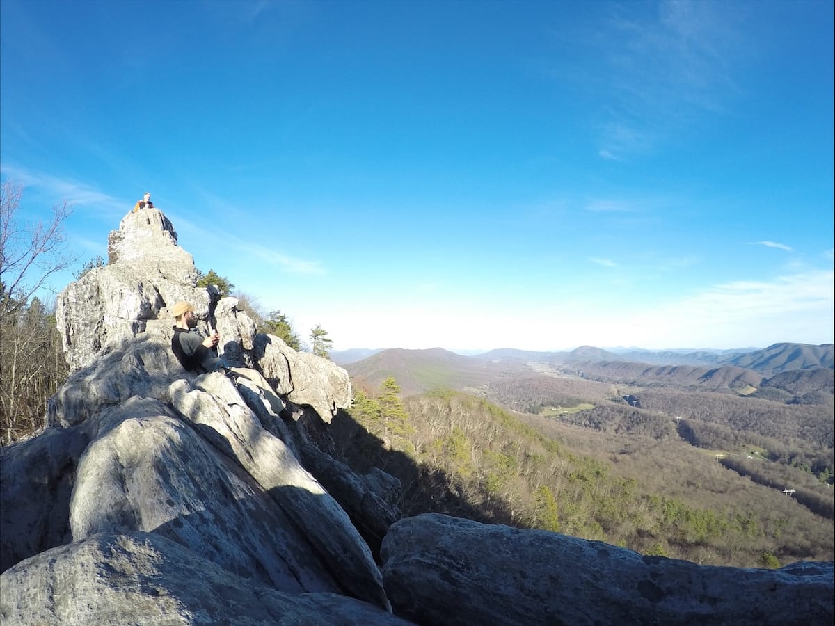
I hung out on the summit for a while, climbed around a bit, then made my way down. Rather than backtrack down the Dragon’s Tooth Trail, I continued north on the AT, then turned left on the Boy Scout Trail to close the loop and return to the truck.
Final Thoughts
This loop is no joke—especially in January—but it’s one of the most rewarding hikes I’ve done in Virginia. I finished in 2.5 days, but with longer daylight hours and an early start, it could be done in two. Still, three days feels about right if you want to actually enjoy it.
McAfee Knob might get all the attention, but Tinker Cliffs and Dragon’s Tooth are equally impressive in their own ways. The North Mountain section adds solitude to an otherwise popular route. Just don’t expect to have it all to yourself—at least not the AT sections.
If you’re curious about the gear I brought for winter backpacking, I’ve posted my full gear list here. It includes some of my favorite backcountry hiking gear, like Darn Tough socks, La Sportiva Wildcat trail runners, and my Black Diamond trekking poles that I’ve trusted for years.
If you’re looking for a rugged, scenic, and well-balanced Appalachian loop, this one’s hard to beat.
Hiking Virginia’s Triple Crown Trail Map
To avoid carrying a full pack up to Dragon’s Tooth, I chose to hike clockwise initially skipping the Dragon’s Tooth summit trail via a spur trail a quarter of a mile in. This way, I was able to make it to Mcafee Knob / Campbell Shelter on the first night and camp on North Mountain the second night. When I arrived back at the Dragon’s Tooth parking lot I dropped my pack at my vehicle and then day hiked up Dragon’s Tooth to finish the Virginia Triple Crown loop.
