Overview
Intro
The Alta Via 1 is one of the most iconic long-distance hikes in the Dolomites, stretching from Lago di Braies to Belluno across soaring limestone peaks, alpine meadows, and a string of welcoming rifugios. In this trip report, I share my full experience hiking the AV1 — the ups and downs of each stage, what the trail was really like day-to-day, and plenty of photos to bring it to life. Whether you’re planning your own trek or just curious about what it’s like to spend a week crossing the Dolomites, this story takes you along for the journey.
September 13 |
Day 1: Lago di Braies to Rifugio Biella
Distance: 7.4km | 4.6mi | Time: 2.5h
Elevation: ^ 921m | 3,021ft
End point: Km 6 | Mi 3.7
Lago di Braies
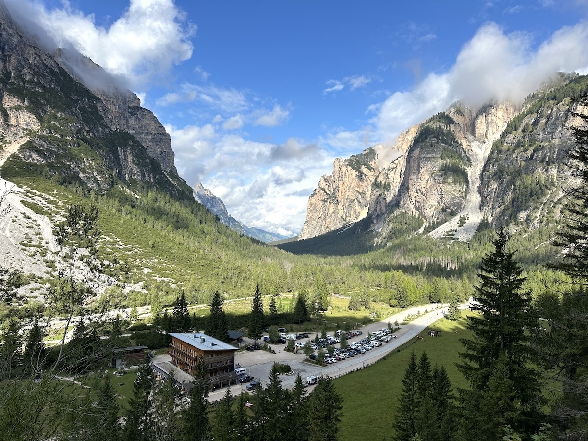
After a long travel day, including a flight from AMS to VCE, a Flixbus ride to Dobbiaco, and a city bus to Lago di Braies, it was time to hike. The busy lake had large parking lots, a giant hotel, and tourists everywhere, even though rain was in the forecast.
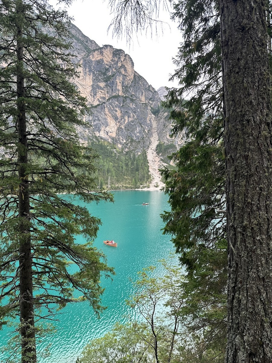
It was 3:15 p.m., and I still had 4 miles and 3,000 feet to climb. Around the hotel, I was greeted by the magnificent lake. The old wooden boats were all in use. The teal-blue water reflected two peaks on the opposite side. The trail was more of a nicely kept forest road than a mountain trail.
Eventually, on the other side of the lake, I left the crowds and began the ascent on the Alta Via 1. The trail zigzagged upwards. I passed through short pine trees with a delightful smell and occasionally looked back at the lake as it disappeared. A short, cabled section led over wooden steps, though the cable wasn’t necessary.
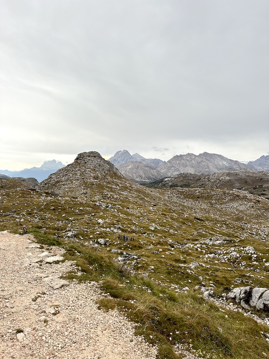
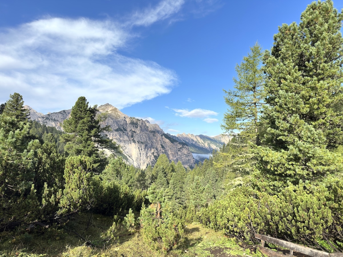
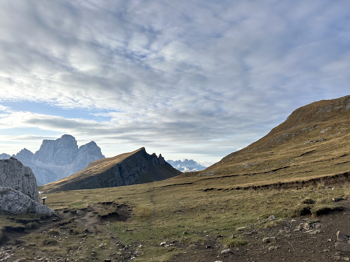
I climbed further into the trees, and the trail opened up. The trees were replaced by a rocky alpine environment. This is what I love. I flanked a large peak before reaching a plateau. Off in the distance, another massive peak with countless layers stood. I had passed a few hikers, but now I was alone.
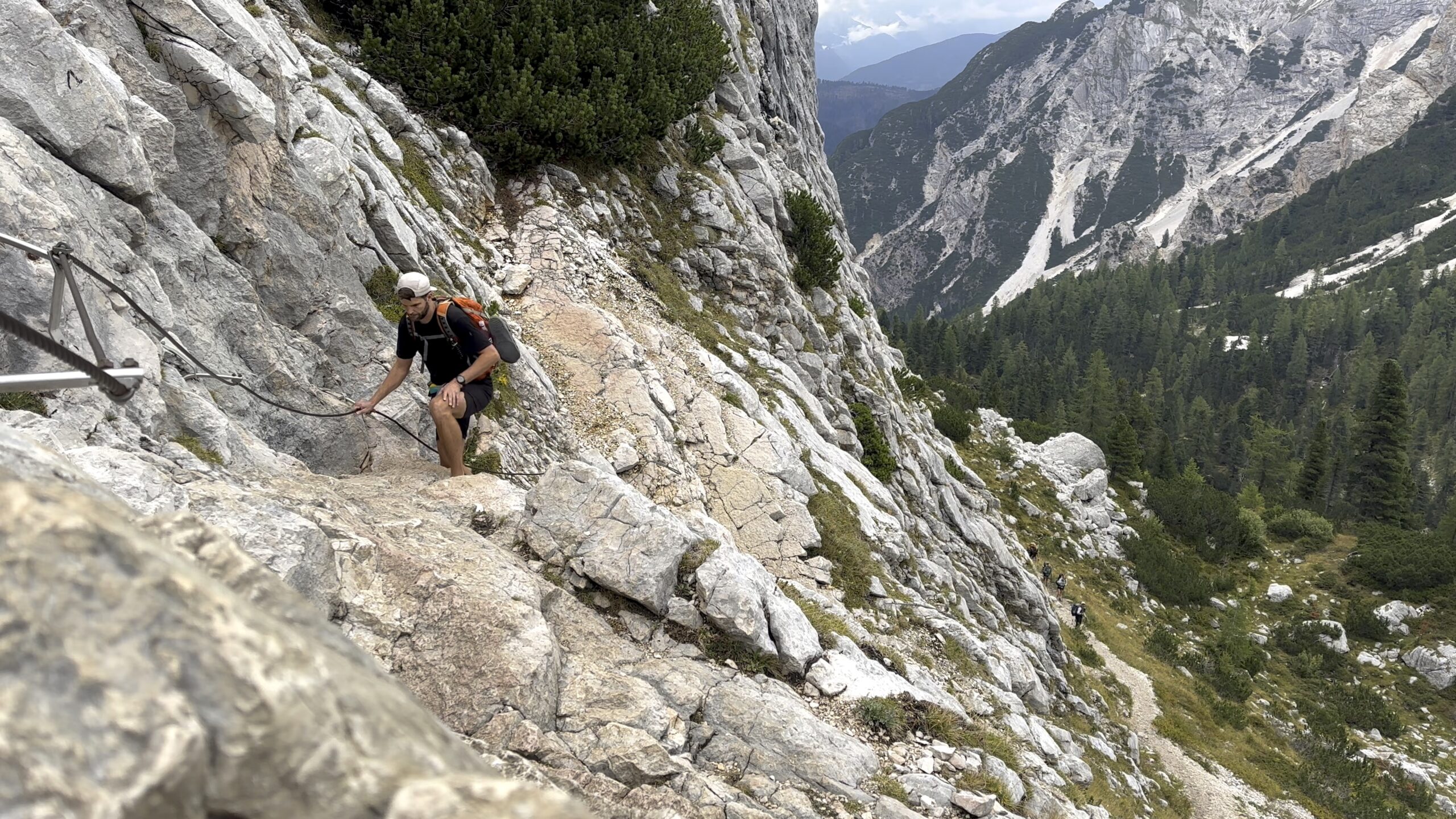
I reached the short, cabled section pictured in my guidebook. The book made it seem more adventurous than it actually was. If anything, the cables made the correct route more visible.
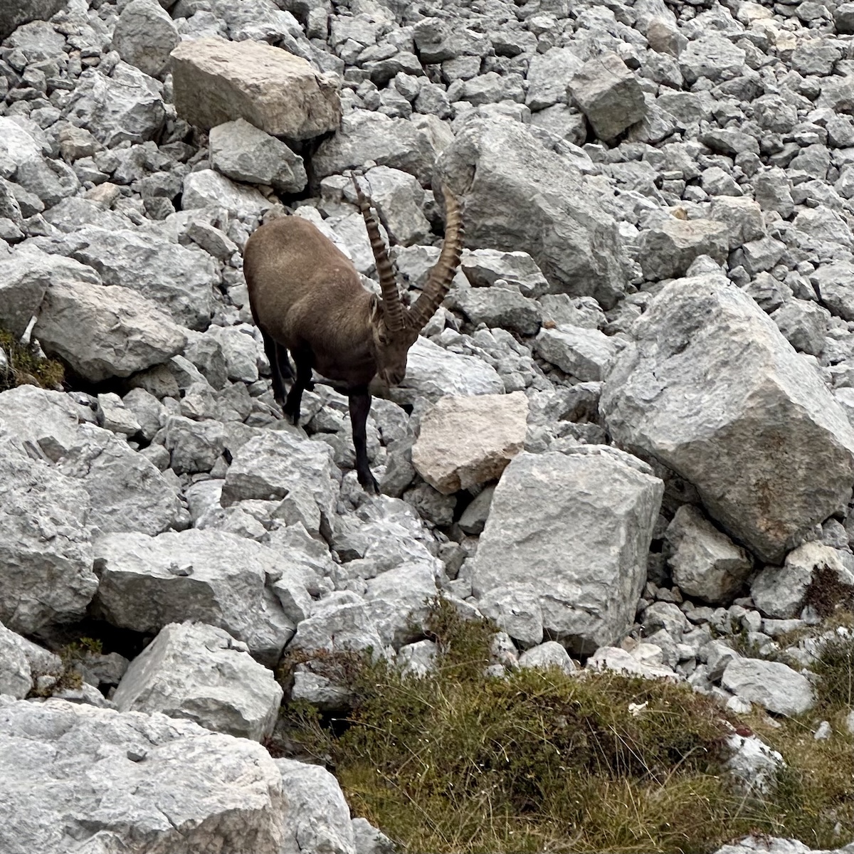
The sky was thick with clouds as I was getting closer to them. The air was cool… maybe 45 degrees. I heard a bit of rockfall to my right and spotted a large male Ibex. His horns were massive, maybe 3 ft long. Such a beautiful animal. He descended the scree field next to me as I continued on.
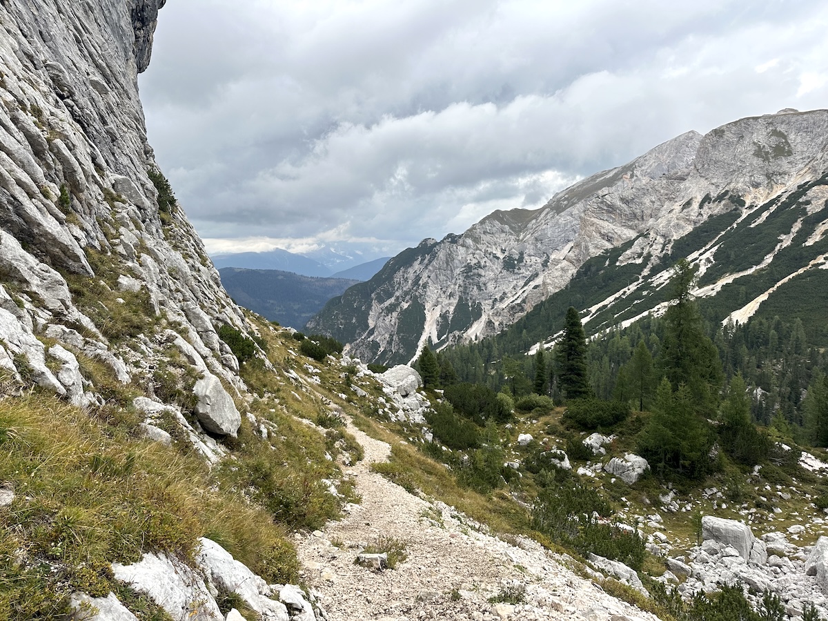
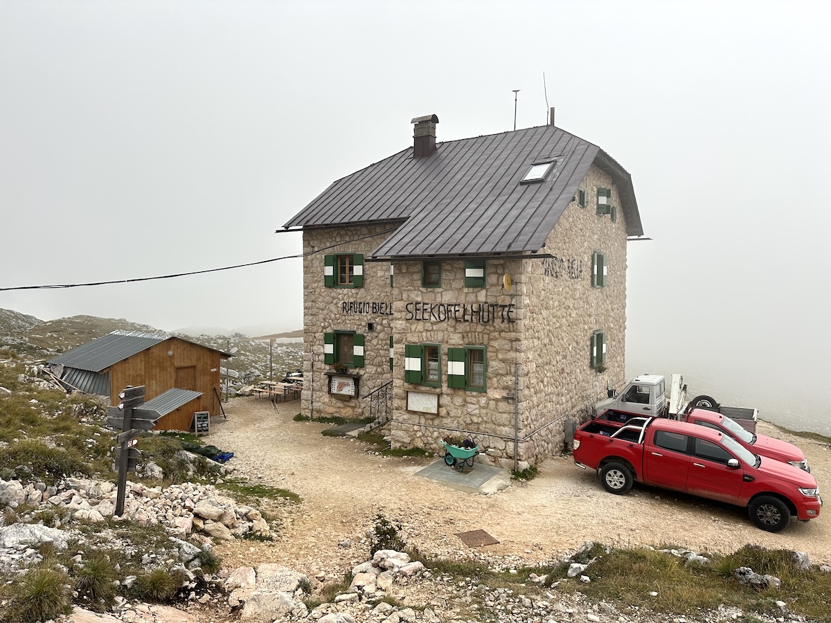
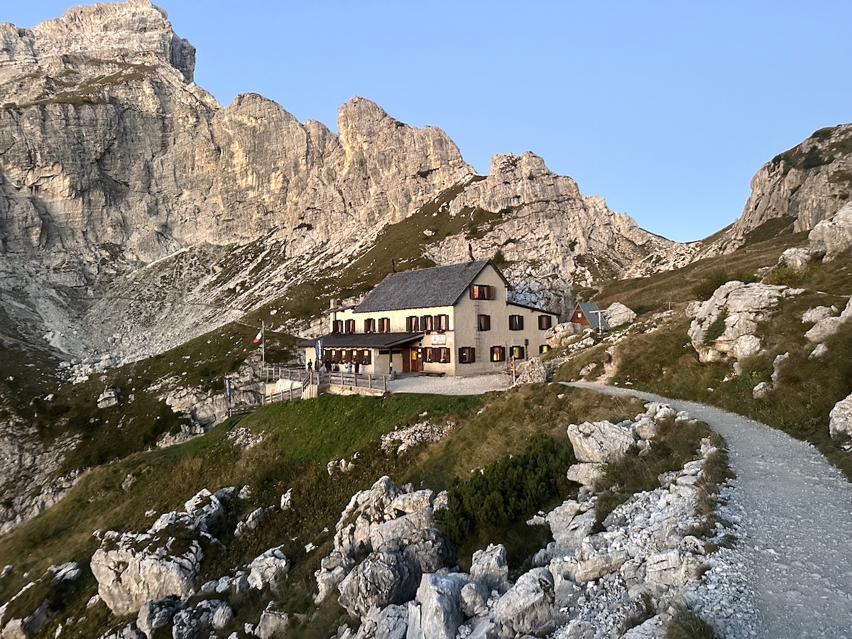
Nearing the pass, the wind picked up, and the chilled air started to set in. To my surprise, I could see the rifugio just a short distance down from the pass. I didn’t expect it to be so close.
Rifugio Biella
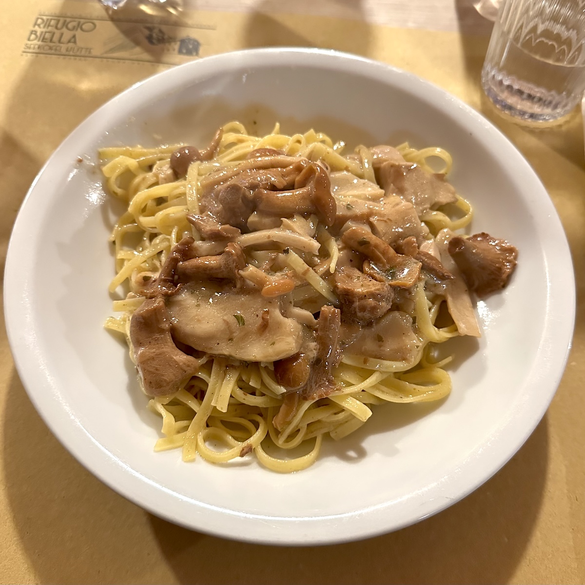
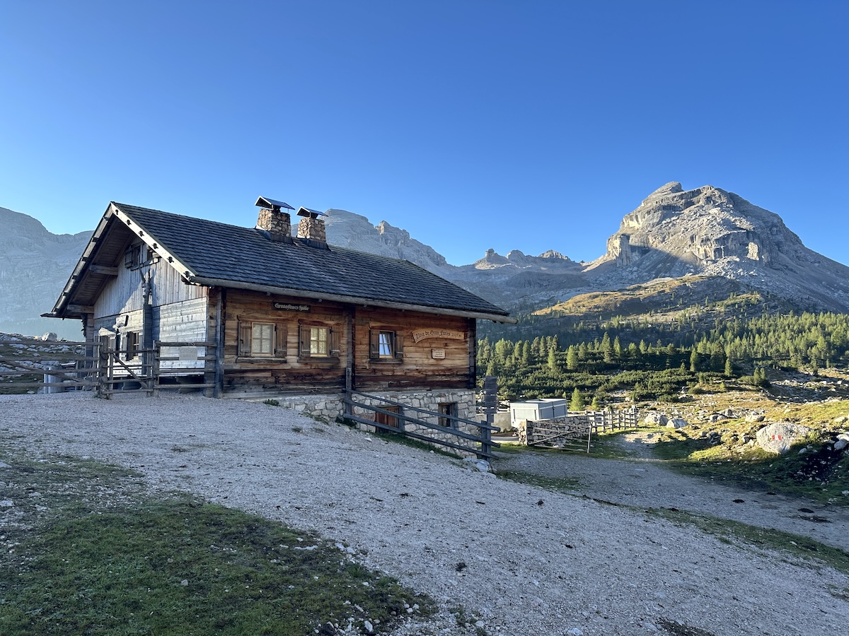
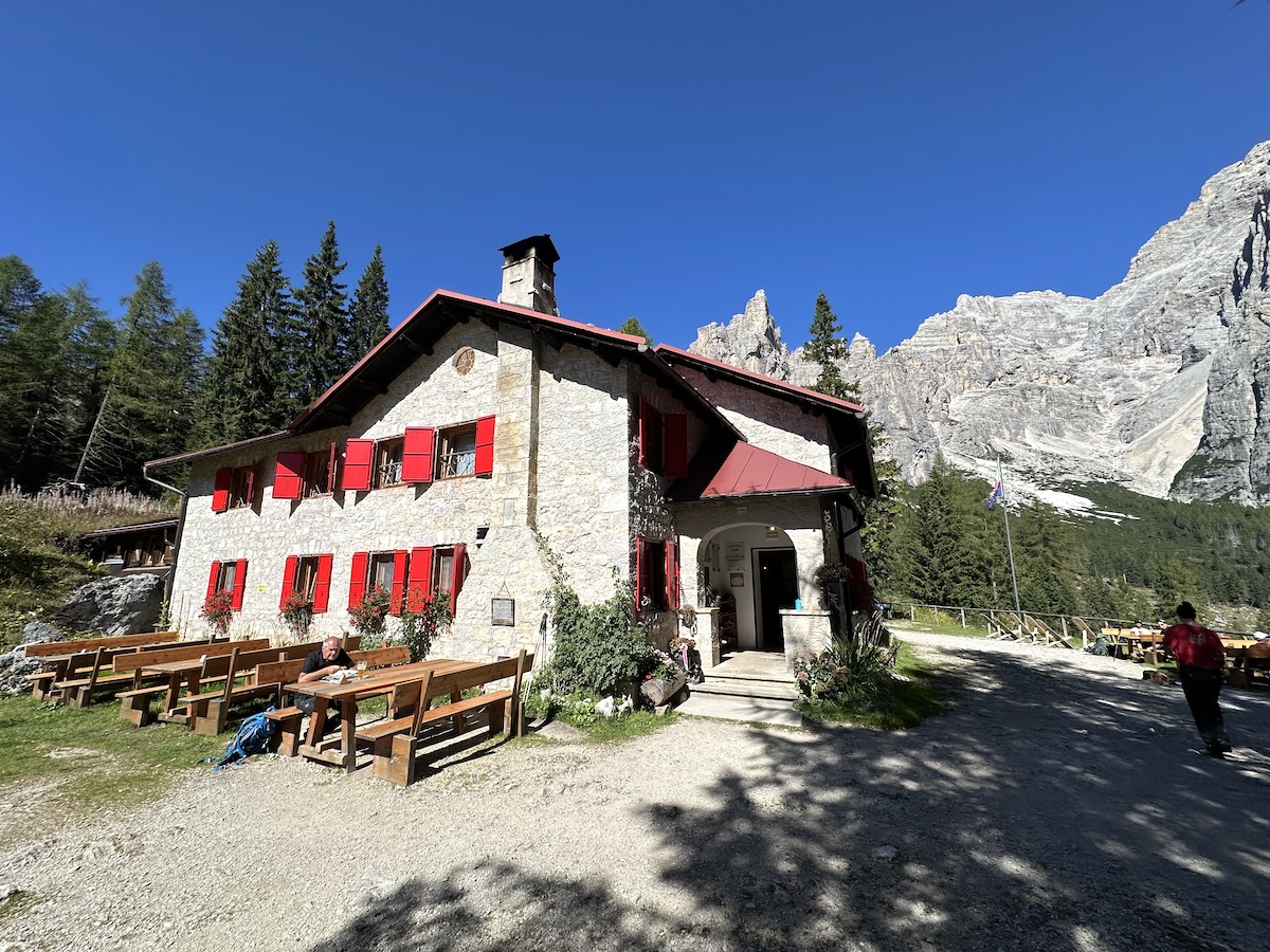
Rifugio Biella, a charming and rustic mountain hut, boasts a warm and inviting staff. After a long day of traveling by plane, train, bus, and hiking, I checked in, took a two-minute hot shower, and settled in for dinner. The first course was a tasty tagliatelle dish with a mushroom sauce, followed by a pork dish with by mashed potatoes and cabbage.
September 14 |
Day 2: Rifugio Biella to Rifugio Fanes
Distance: 16km | 10mi | Time: 6h
Elevation: ^ 691m | 2,267ft
End point: Km 19 | Mi 11.8
There was quite a bit of rain last night; I could hear it on the rooftop. I went downstairs for a quick breakfast. A nice little cake, yogurt cup, and some not-so-good bread with Nutella. I was mostly interested in the coffee!
The clouds were much higher than the day before. I was able to see the beautiful, quiet landscape surrounding the hut. At 8 a.m., I began my hike down the dirt road, before the trail led to more typical single-track trails. At one point, I was walking through a beautiful pine forest with green grass everywhere as the sun started to burn through the clouds.
I stopped at Rifugio Fedara Vedla for a chocolate cake and an Americano. A quick break early in the day.
Rifugio Peduru
To this point, the trail had been quite easy and would continue this way as it followed a ravine, then joined a steep road before dropping into the valley where Rifugio Peduru was. The hut is large and has a large parking lot plus bus connections. I decided to take a break in the comfortable chairs by the playground. Shoes off and relaxing outside of the rifugio while listening to the nearby cowbells and rapids from the stream cutting into the valley.
It was time to climb again. I left the rifugio and started upwards into the ravine after crossing a small creek. At first, it wasn’t so impressive as I gained elevation, but after a while, I looked up and said to myself, “Holy crap, this is beautiful.” The trail came to a saddle, and I decided to take another break. The clouds were blowing over, and the sun would peek out every so often. It was gorgeous.
I put my shoes back on and continued onwards. I joined the dirt road that had followed the other side of the creek. It was a short road walk to Ucia Pices Fanes, where I ate a tosti: pickles, ham, and cheese on a roll.
Rifugio Fanes
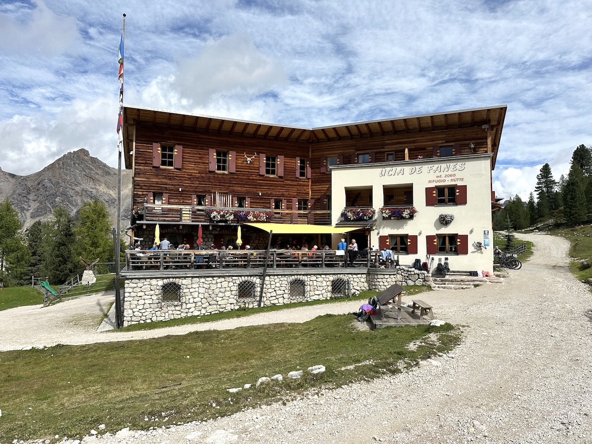
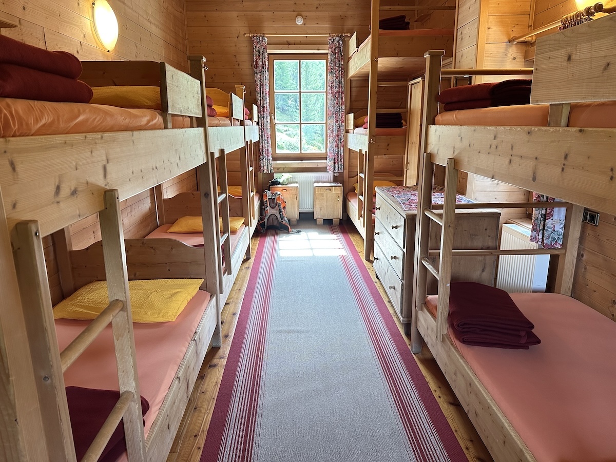
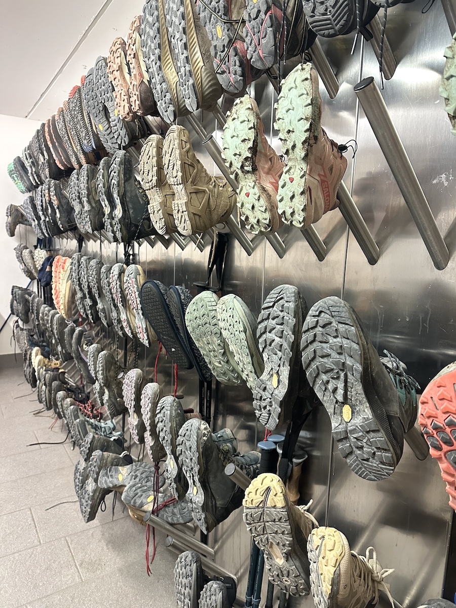
When the automatic doors opened, I could tell this rifugio was going to be different. It felt more like a ski hotel than a rustic mountain hut. There was a lobby, stone tile throughout, Dyson faucets in the bathrooms… After checking in, I went downstairs to the boot room to hang my trail runners. I then went to my room. #20, a bunk room with 9 bunks. I was the first to check in.
I went for a shower and did some sink laundry using my stuff sack and Dr. Bronner’s. The shower had unlimited hot water. Very nice indeed. I rinsed the laundry and hung it out behind the rifugio to dry.
The patio was full of mountain bikers and other hikers. I sat for a while and talked with 2 women from California. It was a relaxed afternoon in the sun while my laundry dried on the clothesline.
September 15 |
Day 3: Rifugio Fanes to Rifugio Dibona
Distance: 20.7km | 12.9mi | Time: 7.5h
Elevation: ^ 1,146m | 3,759ft
End point: Km 37 | Mi 23
Wow! Lots of wow today. It all started at 5 when my bunk mates, a group of 7, woke up at 5 to rummage through all of their bags, not really packing or being quiet. That’s part of the experience!
My plan was to leave after a quick breakfast, so I had all packed most of my bag the night before.
At 7, the morning breakfast consisted of 2 hard-boiled eggs, a piece of toast with jam, a bowl of yogurt with muesli, and of course, coffee.
I set out at 7:20 and began the first little accent out of the rifugio. The morning was crisp as the sun started to kiss the peaks nearby. I love hiking first thing in the morning! The trail meandered around a bit on a wide path, eventually making it to a valley that was flanked by huge peaks. The sky was blue, and it was an easy walk.
Forcella del Lago
A bit further, Forcella del Lago came into sight. I was so excited to climb a mountain pass. At the signed post, I turned left and headed up. It wasn’t difficult or technical, just a heart thumper that seemed to go forever. I loved it!
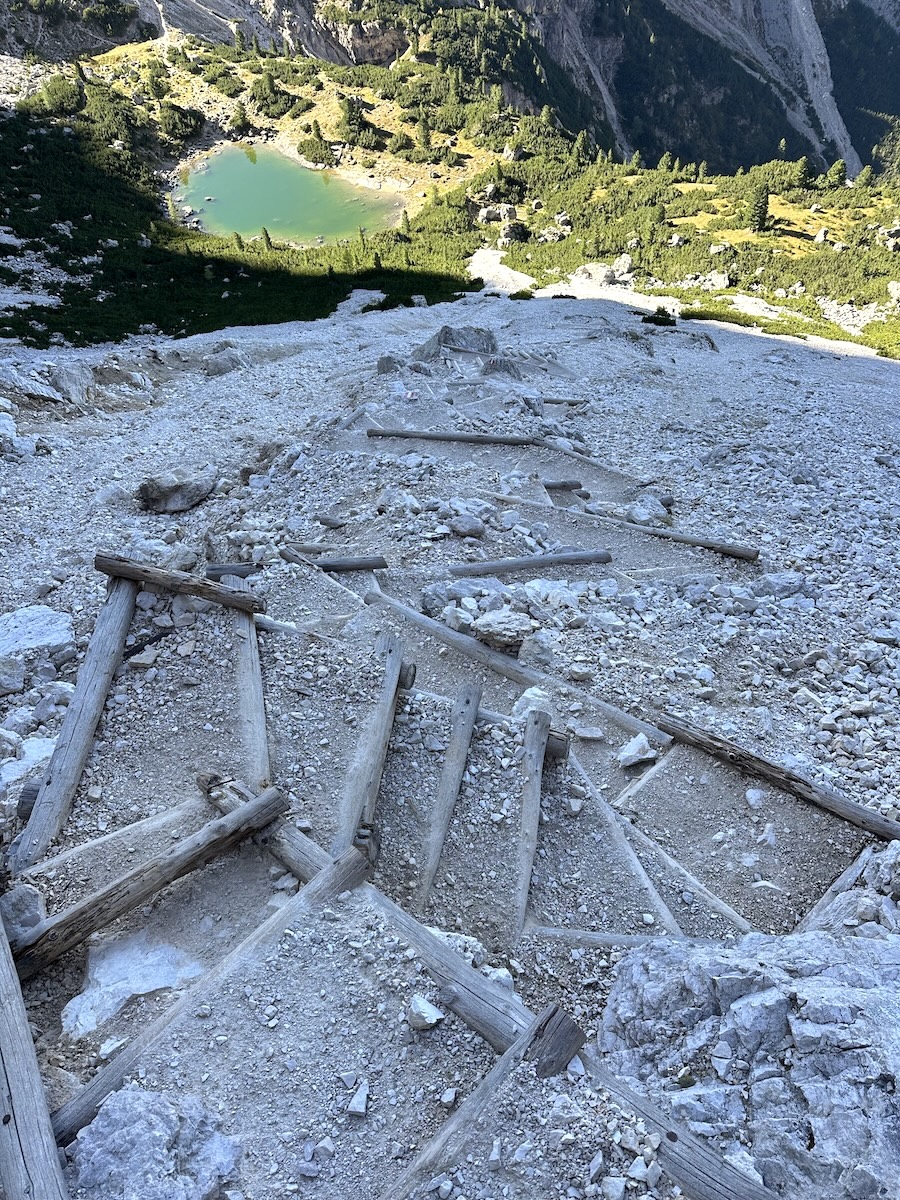
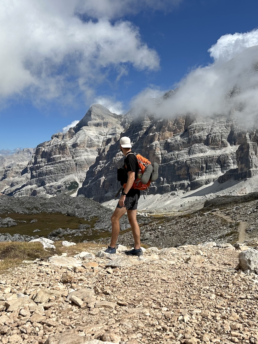
Eventually, out of the morning shadow, the sun lit the trail and my body warmed. The trail became rockier, and I had beautiful views west towards the Marmolade glacier and the Sella Group… where the Alta Via 2 passes through. Eager to see the other side of the pass, I climbed to the top. I was warned about the steep switchbacks reinforced by logs. However, the warning was overdone, and the trail was easy to descend to the small pond at the bottom.
At the bottom, I found a large boulder that provided enough shade to take a break under. I ate my togo lunch and dried out my feet and shoes. It was warm in the sun, and the next stretch to Forcella Lagazuoi was totally unprotected from the sun.
After a short break, I began the accent. The views around were beautiful, but the trail itself was monotonous. An old military track from WW1. There were, however, some interesting remains from the war dotting the area. Finally, at the forcella, I turned left as I was headed along the main route to Dibona, not Lagazuoi.
When I initially booked these rifugios, I had planned to explore the old World War I tunnels that lie beyond Lagazuoi. Unfortunately, due to availability, that wasn’t really possible.
Tofana di Rozes – The main route
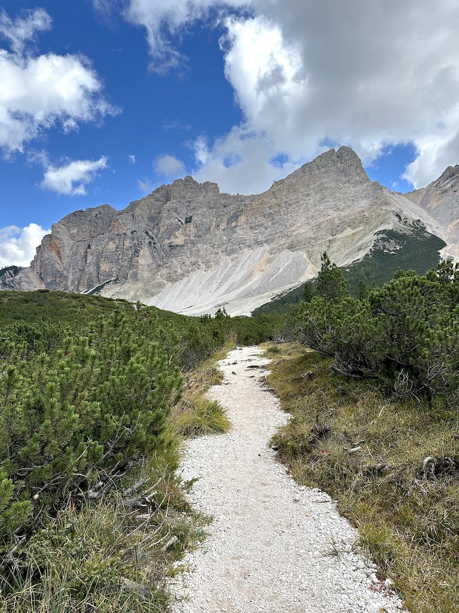
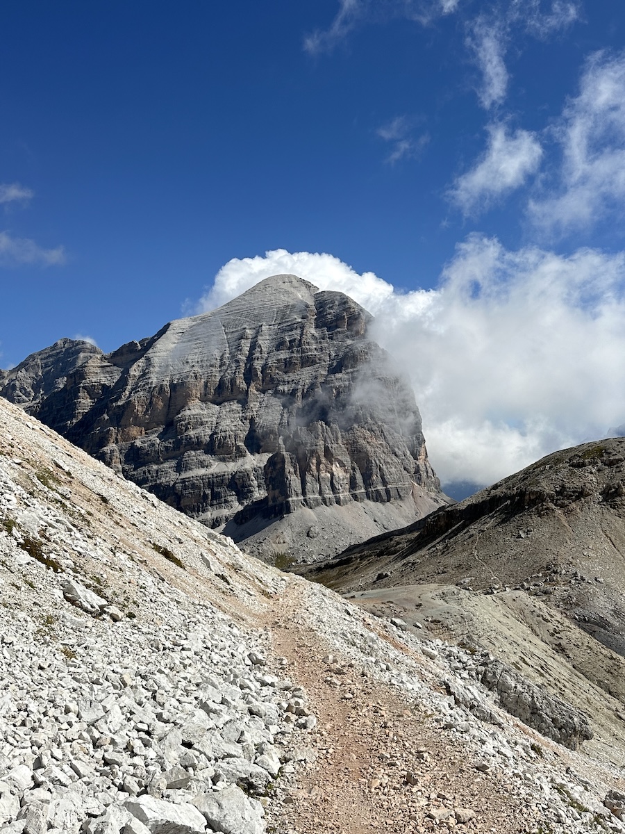
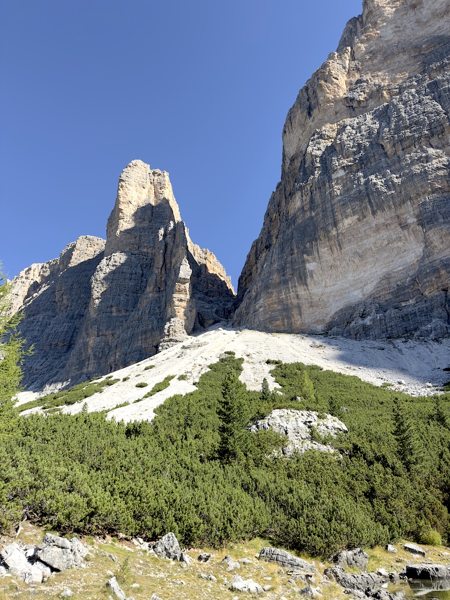
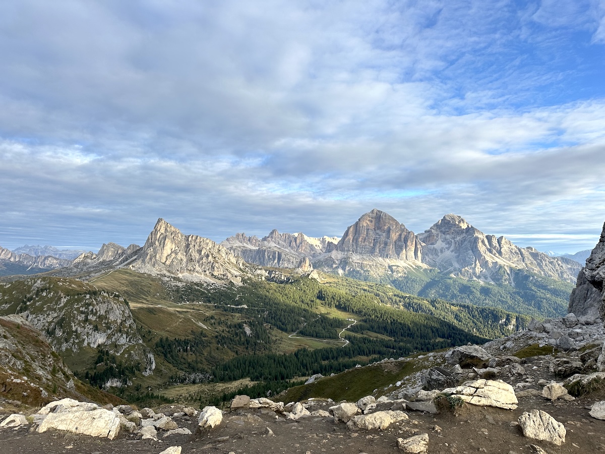
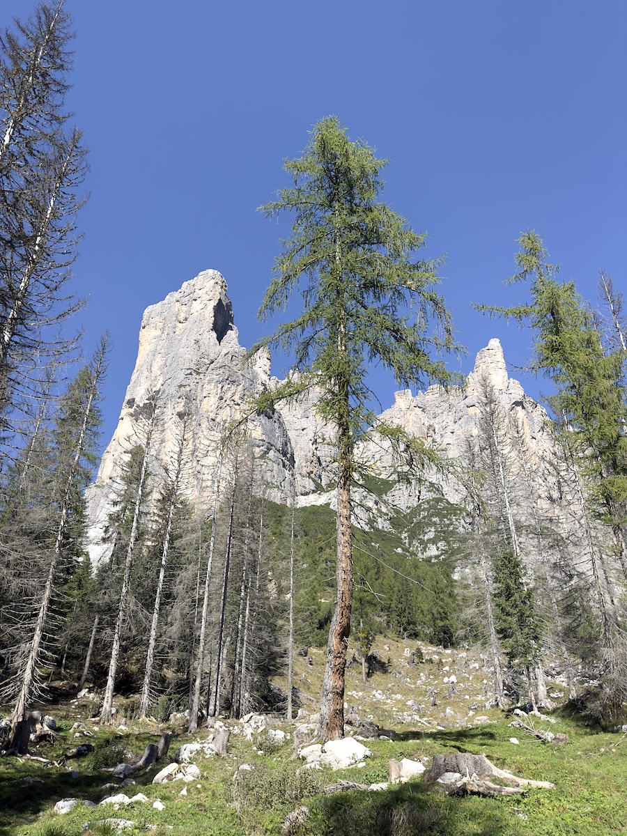
I quickly realized that I was fortunate to have taken the route I did. A short distance from the junction, I was greeted by an exceptional view of the Tofana di Rozes, a massive rock with sheer cliff edges all around. For the next hour, I would be walking straight towards it as the clouds blew by. Very impressive.
I found my way to trail 404, a bit confused as the sign indicated the rifugio was further down the trail that I was already on. There was a painted stone after the junction that said something like “Rock Fall – 25-08-2025”. I assumed that must be on one of the other more difficult trails.
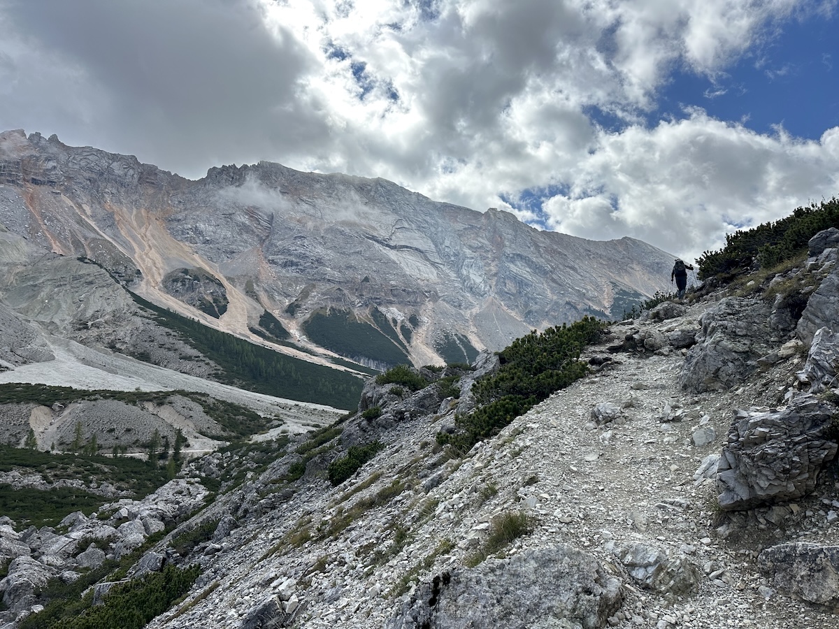
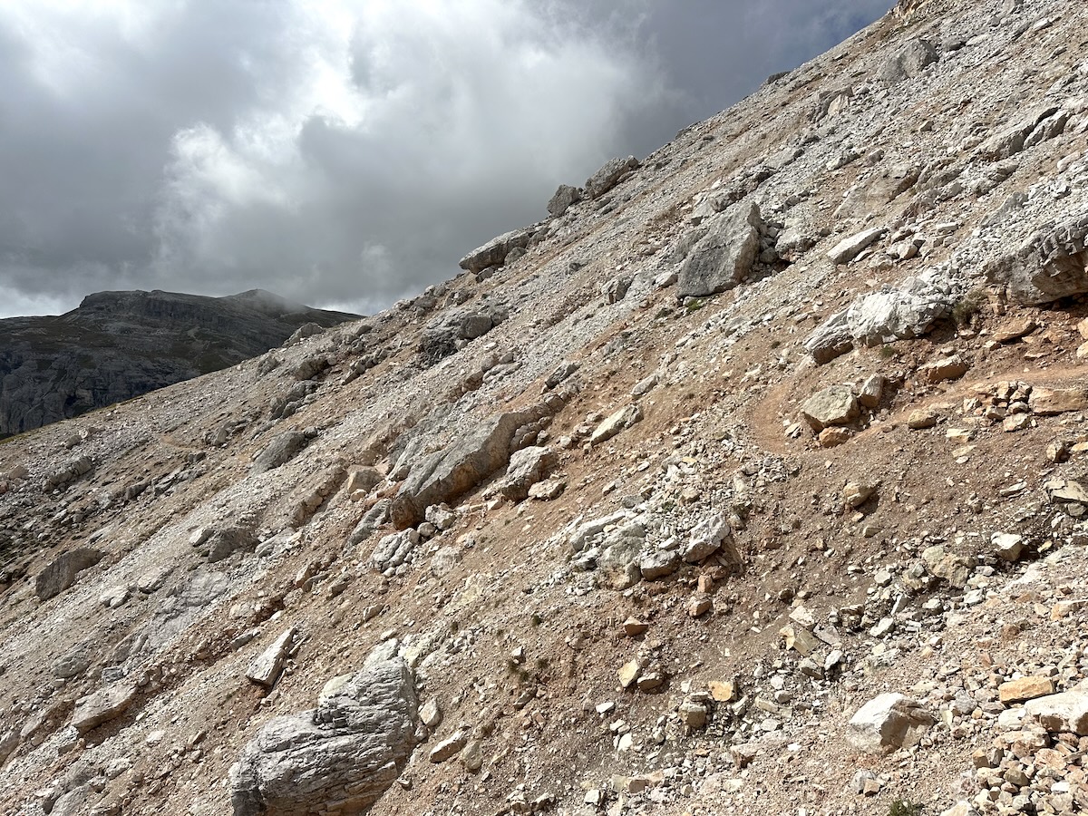
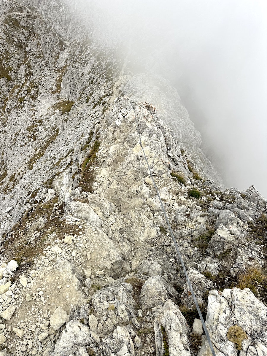
It wasn’t. Not too long into an amazing hike over scree fields with beautiful views across the valley, while following the contours of the massive Tofana… I found the rockfall. It was in total 100-200 ft across. My butt puckered, but I made it across with a little hands-on experience and nimble feet.
Continuing along the trail, it evolved into a single-track. Still hiking below the massive Tofana, I eventually circled around to the other side.
Rifugio Dibona
Linking into the wide-open gravel path, I made my way down to the rifugio and checked in. Rifugio Dibona isn’t much. It sits next to a parking lot for day hikers and climbers headed up to Tofana di Rozes. I got cleaned up, did some sink laundry, and took a hot shower.
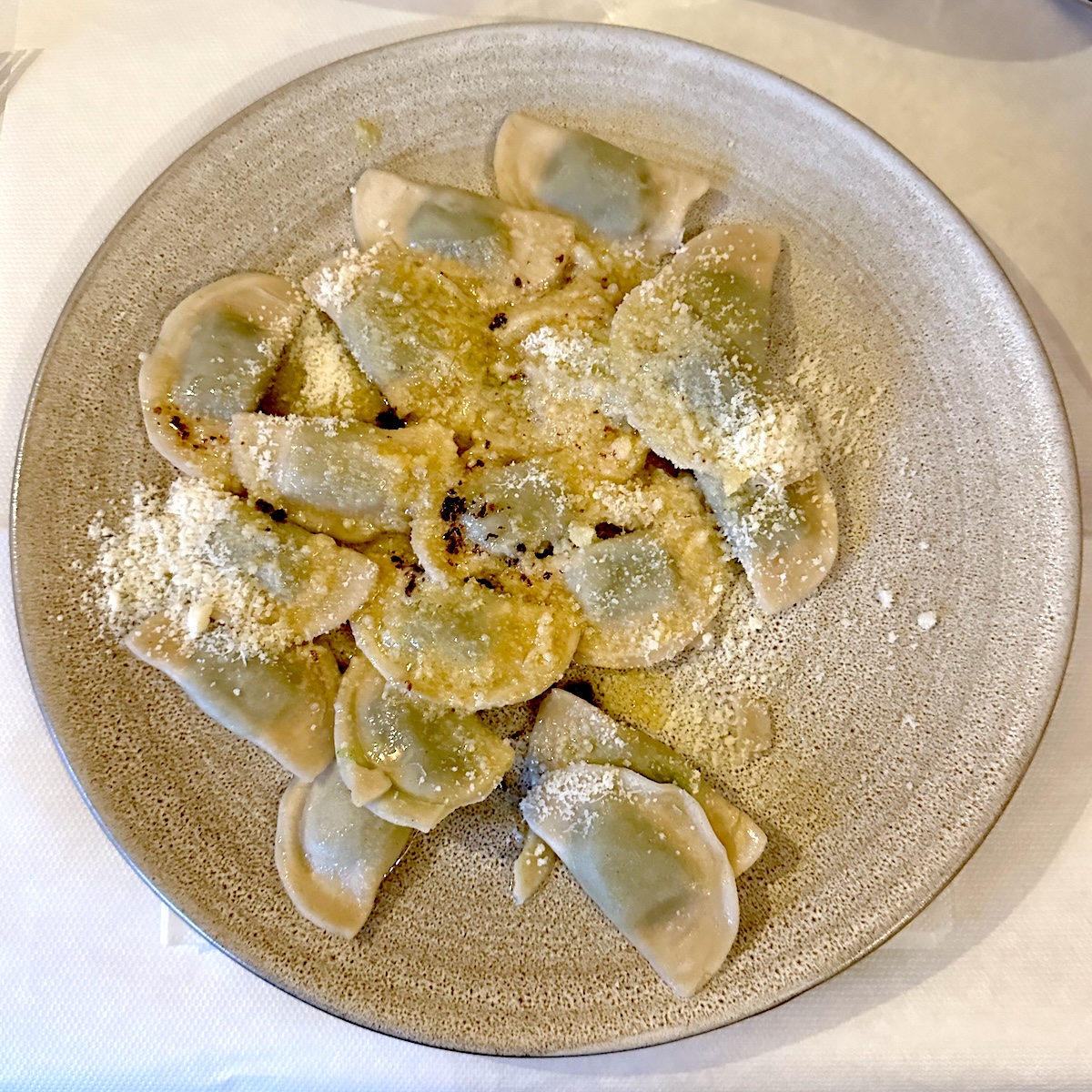
Apparently, they are known in the area for their meals. My first course was spinach ravioli and was truly delicious. The second course was pork and potatoes. I slept well that night knowing there was no need to rush in the morning as I had a short day.
September 16 |
Day 4: Rifugio Dibona to Rifugio Nuvolau
Distance: 9.8km | 6.1mi | Time: 5.5h
Elevation: ^ 943m | 3,093ft
End point: Km 44 | Mi 27.3
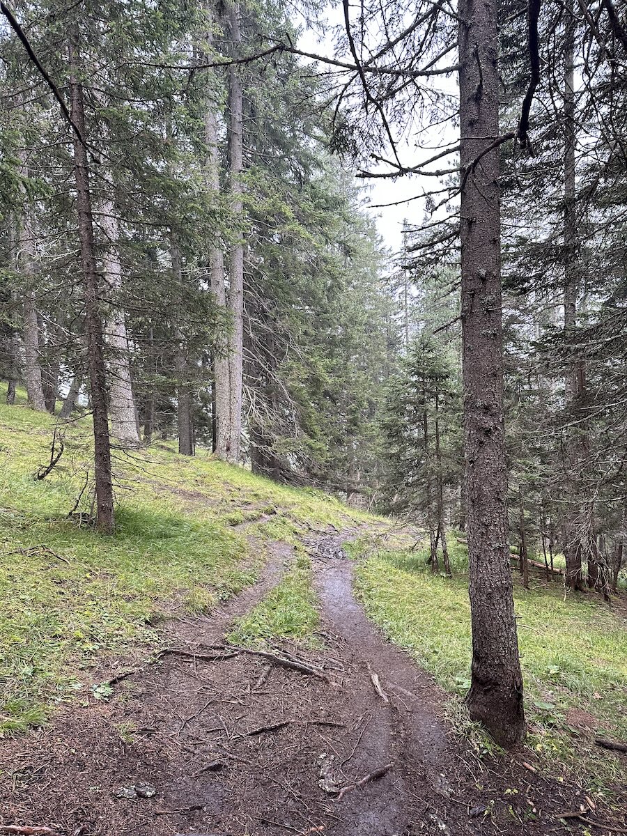
I only had 7km today, and I took my sweet time with it. Just after setting out, the rain began. Nothing too crazy, but it made the descent through the pine forest more interesting. The dirt had turned to mud, and the roots were slick. I crossed the road and joined onto trail 439.
The next section wasn’t so much fun. It was a gravel trail of sorts that just continued sharply up the mountain for quite a while.
Cinque Torri and the World War 1 museum
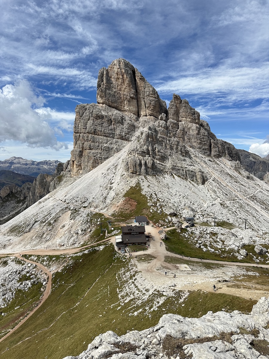
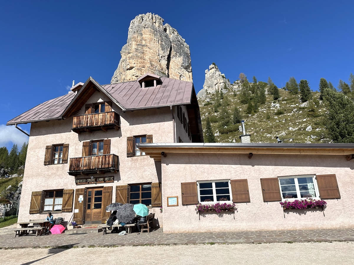
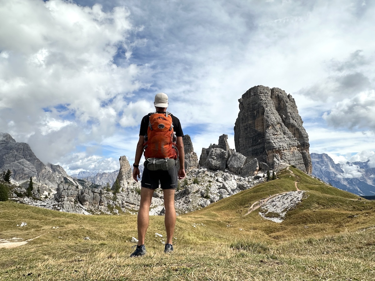
It was all worth it when I made it to Rifugio Cinque Torri. A group of 5 towers, a WW1 museum, and a climbers playground. I stopped for a coffee and a strudel. Afterwards, I continued up the road backtracking a bit to Rifugio Scoiattoli (where there’s also a chairlift), then further to the WW1 museum. Walking through the trenches and exploring the caves of the WW1 remains was quite an interesting experience. Furthermore, what I found incredibly amazing was that I was directly across from yesterday’s hike. It was an incredible experience seeing everything I had hiked while taking it in from a completely different perspective.
Rifugio Nuvolau
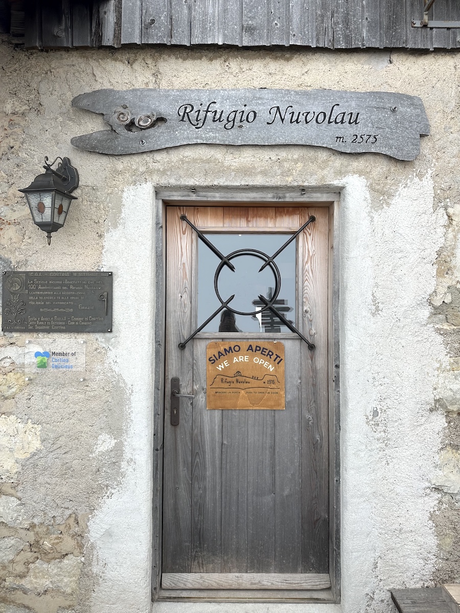
The next ascent to Nuvolau was a bit tiring, but the breathtaking views around me quickly made it worth it. I passed by Rifugio Averau and continued my ascent. From Cinque Torri onwards, there were panoramic views. I could see the Sella Group, which I had hiked last year, and could see southward towards my coming destinations.
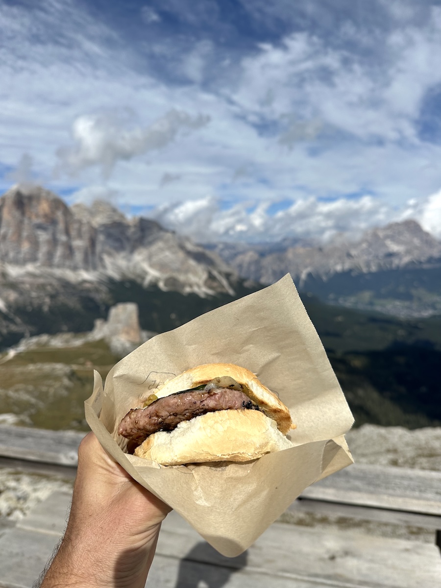
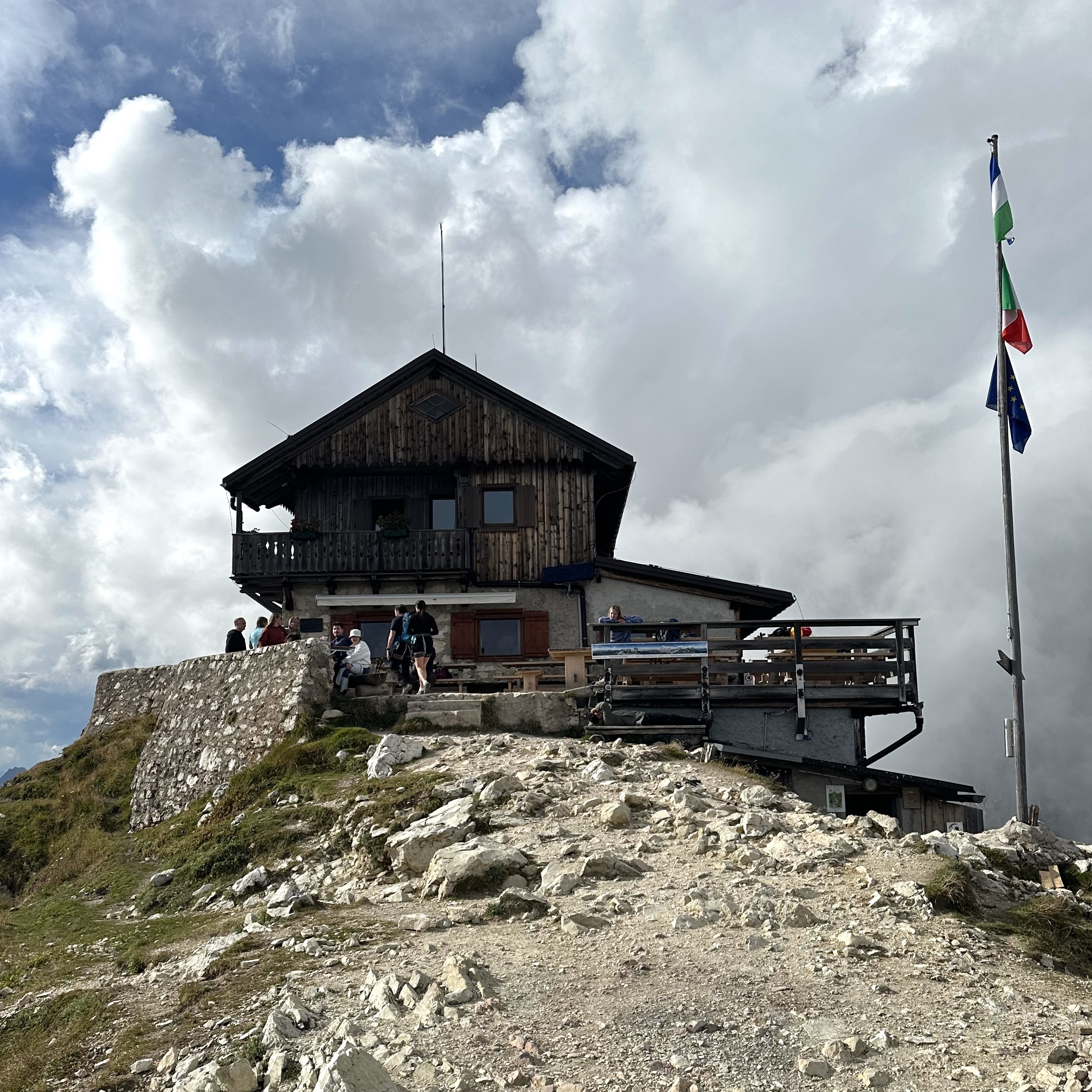
I was a bit low on energy and felt the elevation (8,500 ft). After ordering a burger from the outside grill, the rest of the afternoon was spent lying around outside. There certainly are worse places to have a lot of time on my hands and nothing to do.
Planning the descent from Nuvolau
I started to research which way I wanted to go the next morning and found 3 options. The guide suggests going straight south over the edge just past the rifugio. That was quickly eliminated after I checked out the initial descent. It was an average difficulty via ferrata of about 30 meters. I knew I’d feel better hiking one of the other options.
The other two routes required backtracking. One would go all the way towards Cinque Torri and then around the east side of the ridge. The other and probably easiest would go to Averau, turn left, and follow the west side of the ridge. That was my plan. I was doubling stages the next day, and I think the most straightforward route was the best idea.
September 17 |
Day 5: Rifugio Nuvolau to Rifugio Coldai
Distance: 28.9km | 18mi | Time: 10h
Elevation: ^ 1,206m | 3,956ft
End point: Km 66.1 | Mi 41
I woke up at 5 that morning and was hiking down the mountain by 5:20. I had packed my bag the night before, and the rifugio left me a togo breakfast in the morning. It was hard to be quiet as the rifugio felt like a 100-year-old house as it is. Outside, I finished packing.
Night hiking down from Rifugio Nuvolau
With my headlamp on, I started hiking back towards Averau. The air was cool, and I could see the lights from Cortina down in the valley. I turned my light off briefly and looked straight up. The stars were magnificent!
At Averau, I turned left and followed the dirt road for a bit before taking another left onto a well-trodden path. I expected a leisurely hike in the dark on a well-maintained trail. At first, it was!
Almost out of nowhere, the trail drops into a ravine. This certainly wasn’t my intended destination, but in fact, it was. A little nervous considering my headlamp would only illuminate the first 75 ft or so of the ravine, I wasn’t really sure what I was getting into.
It had rained the previous night. There was a stream running down, and it was a little slick. I continued straight down, descending rapidly. Often, using my hands to help lower myself further. It was an adventure, and I was more calm when I made it to the scree field. In the end, the steep descent wasn’t too crazy; however, in the dark, it added a little more excitement.
I was on the west side of the mountain, and the sun started to rise. I could see the night sky in front of me brighten. I turned my headlamp off as I could see well enough without it and continued a little faster as I made my way around to the front of the mountain.
Passo Giau Sunrise
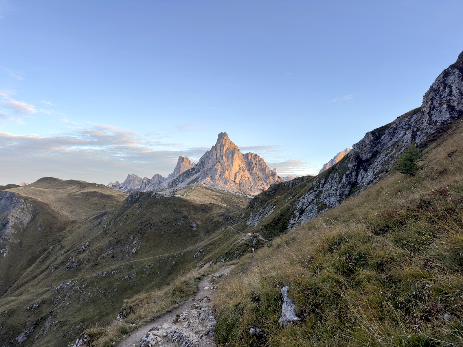
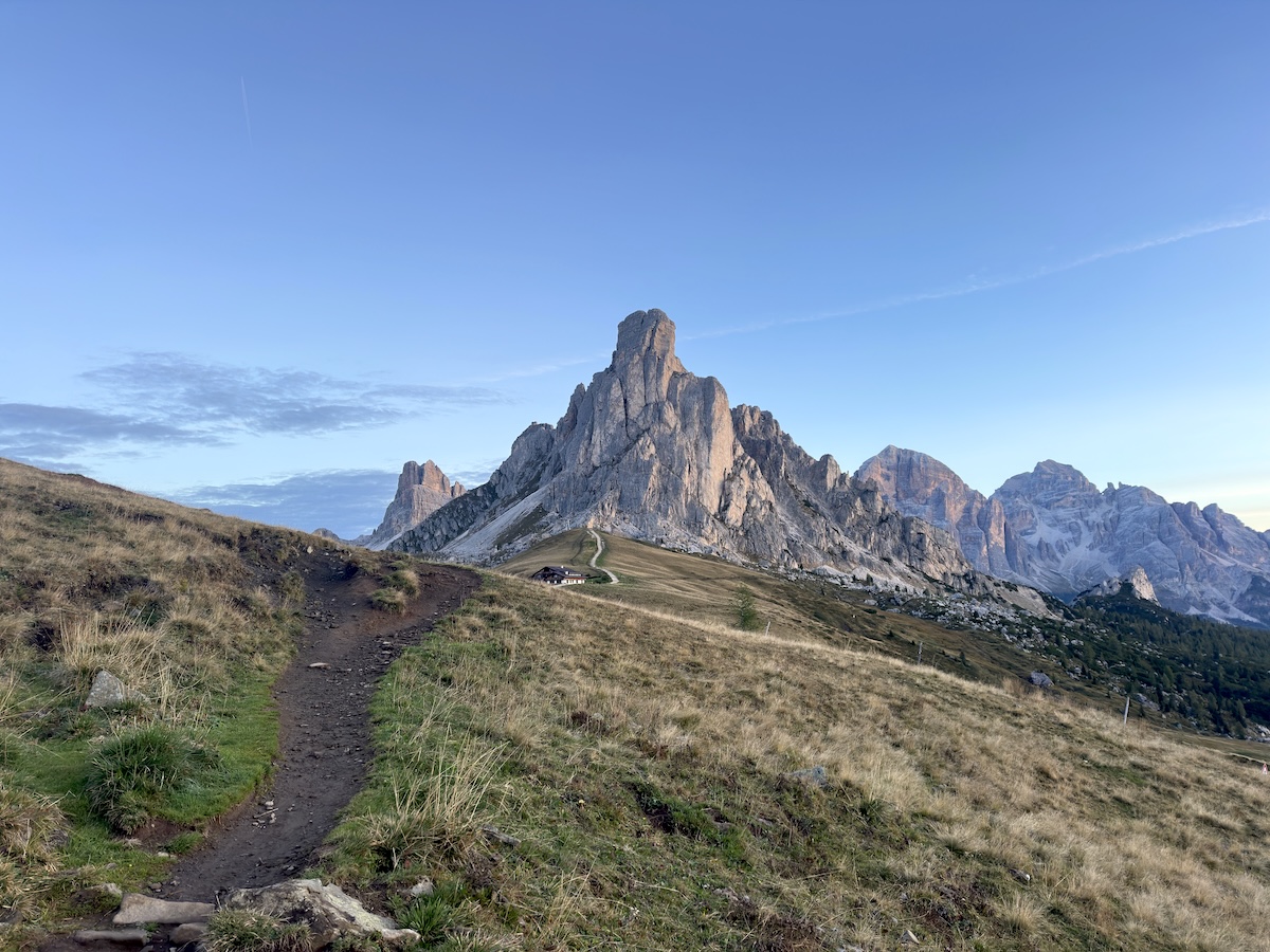
I was on a wide-open path with log steps. To my left, the sky was orange, and behind me sat the beautiful peaks of Torre Anna, Ra Gusela, and Torre Luisa, that make up the unmistakable view from Passo Giau. I was still too close to really appreciate them, so I hurried down further, turning around every so often. It was just simply amazing! Looking back, everything was perfectly lit up with that beautiful morning glow.
As I reached Passo Giau, I couldn’t help but wonder if I had made the right choice by skipping the sunrise at Nuvolau to enjoy it at the pass. I’m certain every day, people wake up early at Nuvolau to witness the sunrise from the top, but I was content with my decision. There were only about 10 people around at the pass early in the morning, and this was definitely a special moment for me on the Alta Via 1.
Rifugio Città Di Fiume
I would be leaving the Tofane group and entering the Pelmo group at this time. The trail on the other side of the pass meandered through some small passes and grazing land. At a junction, I turned right to head up to Forcella Giau. It was a slog, but the view at the top was absolutely worth it. One of my favorites from the whole trip, in fact. I could see everywhere I had been the previous 2 days: Lagazuoi, Tofana di Rozes, Passo Giau. Beautiful!
The trail turned green after the forcella as it casually descended a wide open space, crossing streams before eventually rising again. At another junction, I continued upwards towards the right and over a scree field. After the next forcella, the trail led steeply down before joining a dirt road. The next 4 kilometers were monotonous yet easy, as I made my way to Rifugio Città Di Fiume.
I had heard some nice things about Rifugio Città Di Fiume, but nothing really stuck out to me. The location was okay. The coffee was good, and the strudel was just like the other places. I rested for an hour outside on the picnic tables before beginning again. Shoes and socks off, of course. I was doubling stages again, and this was the halfway point.
Across from Rifugio Città di Fiume, the trail crossed a small bridge over a stream, then turned right. It was a beautiful forest walk before opening into a scree field. The trail was quite low on the scree, so there wasn’t anything to worry about except for taking in the views. I loved this section so much that I missed my turn off to Rifugio Passo Staulanza!
I had hiked an additional mile through the forest before realizing that I missed it. I backtracked, sat down on their patio, and ordered a steak and fries. I had earned it from my bonus miles.
I ate my lunch and continued down the paved road, stopping for water at a roadside spring, then continued straight onto the dirt path for a while until I made it to the Casera Vescovà, where the trail makes a sharp left in between two of the buildings. From here, it’s very steep but short.
Climbing up to Rifugio Coldai
At the top, there was a beautiful grassy plain with exceptional views of Monte Pelmo and my upcoming climb to Rifugio Coldai. A chance to catch my breath. I continued down to the right, where an old summer farm, Malga Pioda, still stands with an active water source out front.
It was time to go up. The climb was steep, and it was the end of my long day, but I felt great. It was a nice challenge, and again, the higher I went, the more I could see of what I accomplished that day. Near the top, I could make out the last 8 or 9 miles of trail I had hiked… Rifugio Passo Staulanza and Rifugio Città di Fiume were off in the distance.
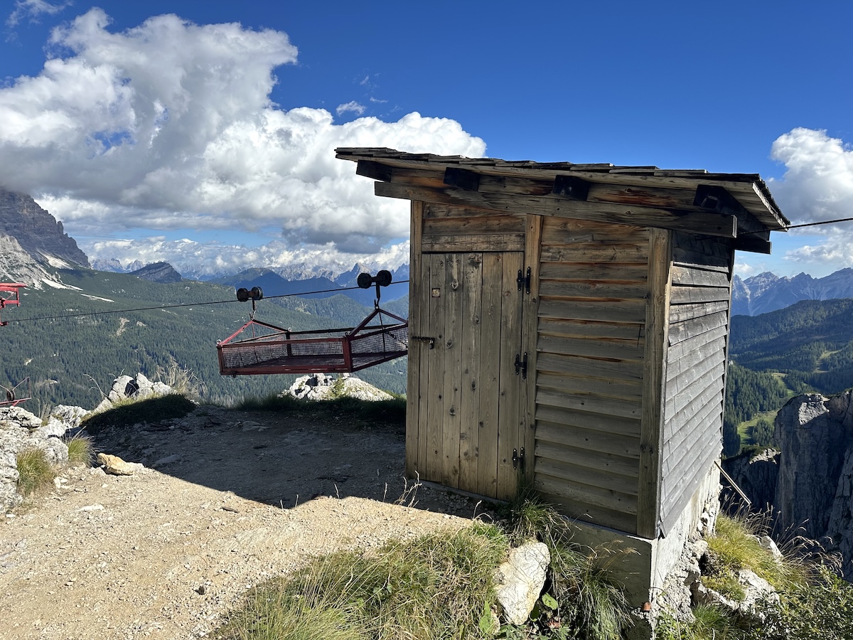
I passed the cable car that they use to take the trash out and get supplies from the valley. It would only be a short walk to the rifugio.
That night for dinner, I ate spaghetti with meat sauce, which was actually quite good, a salad, and finally, pork chops and fries. My body was definitely craving the salt and carbs from the fries.
September 18 |
Day 6: Rifugio Coldai to Rifugio Vazzoler
Distance: 12.1km | 7.5mi | Time: 5.5h
Elevation: ^ 564m | 1,850ft
End point: Km 75.9 | Mi 47.2
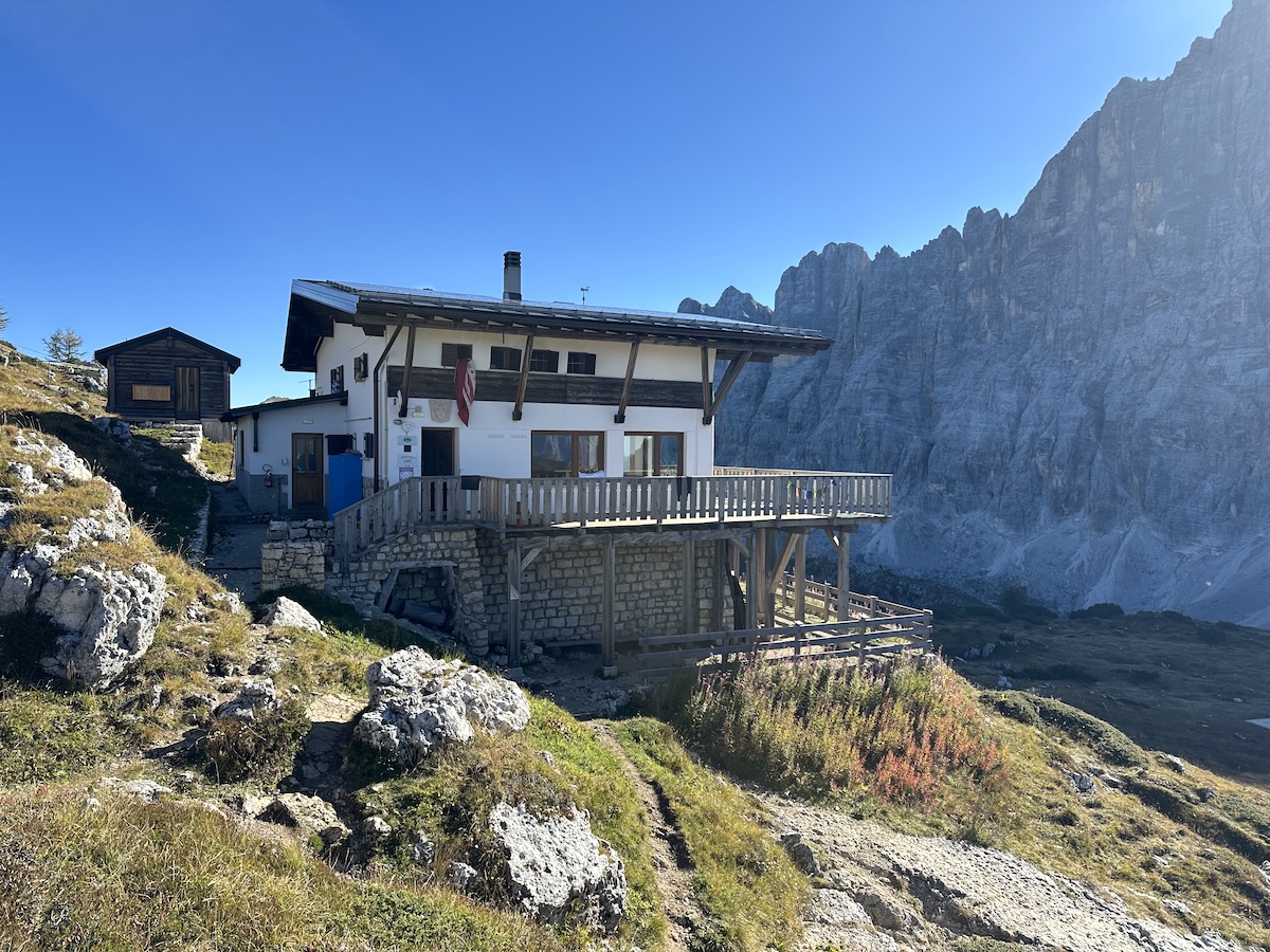
The sunrise is definitely worth setting an alarm for. I overslept but was able to catch the tail end of it. The rifugio faces east, so you don’t need to walk far in order to catch a good glimpse of the sunrise.
Breakfast was quite nice here. It actually felt like the most American breakfast yet. Scrambled eggs, cheese, bread, ham, yogurt, muesli, coffee, and orange juice. I was ready to replenish my burned calories from the day before.
There seemed to be more day hikers and climbers here than at the other rifugios. Apparently, there is a popular via ferrata route just around the corner, making Coldai an excellent place to overnight. You’ll definitely need the appropriate gear if you want to give it a go.
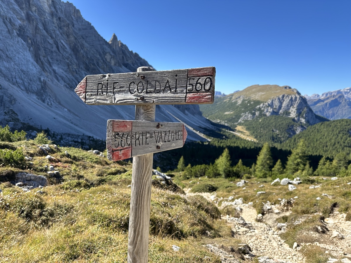
I packed up and started the hike to Rifugio Tissi. After the first small ridge, I came across Lago Coldai, where there were still a couple of tents set up from the previous night. With the right light, the lake could be beautiful, but early in the morning, it’s in the shadows from Cima Coldai.
After another short climb, the trail and views opened considerably. The massive bowl was revealed, flanked by the incredible Civetta formation to the left. A little ways down, a sign warned not to take the high route due to rock fall hazards. I continued to the lower section, still in the shadows, as I could make out Rifugio Tissi perched way up high on the opposite grassy ridge. The morning would be spent looking up to the left at an incredible rock wall as I approached Tissi. It’s really freaking beautiful here!
Rifugio Tissi
I was the first Alta Via 1 hiker at Tissi. They were still cleaning up from the night before. I didn’t want to intrude, but they welcomed me in graciously. I had an americano and two cakes. That was my new second breakfast routine.
After eating, I walked up the hill to the giant cross behind the rifugio to take a break as the sun was just starting to light up the higher edge of the ridge. Watch your step! A small cable halfway held up by a short post marked a medium-size hole that dropped some 4,000 ft (1,250 m) to the valley below. Not much else would have stopped me from quickly reaching the valley floor except a couple of small bumps along the way.
Further up by the cross, the ridge completely grumbles to a vertical plunge. I kept my distance, laid some wet laundry out to dry, took my shoes and socks off, and just chilled for a while. I wasn’t in a hurry.
After a bit, I was rejuvenated and ready to hike on. I backtracked before splitting to the right. The trail entered a thin forest with grass and sun. The day began to heat up as the next couple of miles led through rolling grassy hills amongst the occasional large boulder. It was nice to have a softer terrain under my feet, but the sun was relentless, and this was in September.
There was a small stream here that I hiked next to for a short distance. On the next descent, it was time to take another break. I found a boulder to climb up on, laid down, and watched the day go by under the western side of Torre Venezia. I could hear some climbers in there somewhere but could never make out where they exactly were.
Rifugio Vazzoler
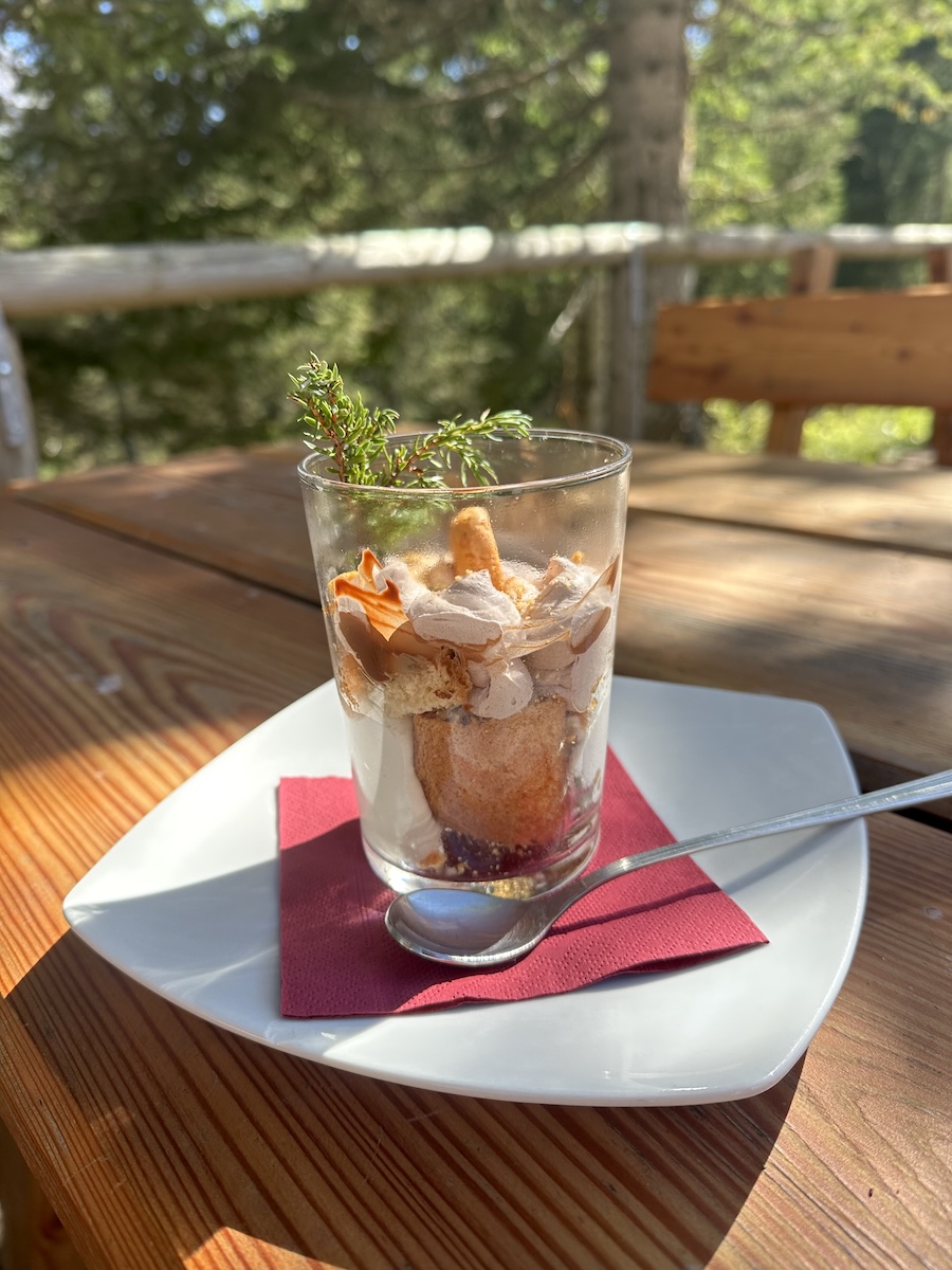
The rifugio wouldn’t be too much further. Rifugio Vazzoler was quite cute and welcoming. I was there early and ordered a gnocchi dish that was absolutely delicious along with a coke. Later, I would enjoy a large tiramisu because… why not?
I had seen photos of the rifugio but didn’t realize that it was set at the base of the Moiazza. A truly magnificent mountain just across the valley floor. After check-in, I again took a shower, did some sink laundry, and went out front to appreciate the area more. There is a rather large botanical garden with hundreds of species of plants all labeled just next to the picnic tables. It made for a nice stroll.
The staff was super nice. The shower was limited and small but still a shower. The food was good. There was a spring out front, and the setting was beautiful. My only complaint about Vazzoler was the room size. There were 2 bunk beds and a single bed situated in a way that I don’t think it would be possible to fit another bed in that room.
I met an older Dutchman out front and enjoyed a long conversation about coffee with him. It was a nice afternoon.
September 19 |
Day 7: Rifugio Vazzoler to Rifugio Pramperet
Distance: 25.1km | 15.6mi | Time: 9.5h
Elevation: ^ 1,364m | 4,475ft
End point: Km 97.8 | 60.8Mi
Another long day was in store. This time, I prepared a little better as I asked the waitstaff about a togo breakfast. She told me they would have something for me even at 5 in the morning. I was surprised when I came down ready to hike and saw the table completely set for me along with a name tag. That was very considerate and made for a great start to my day.
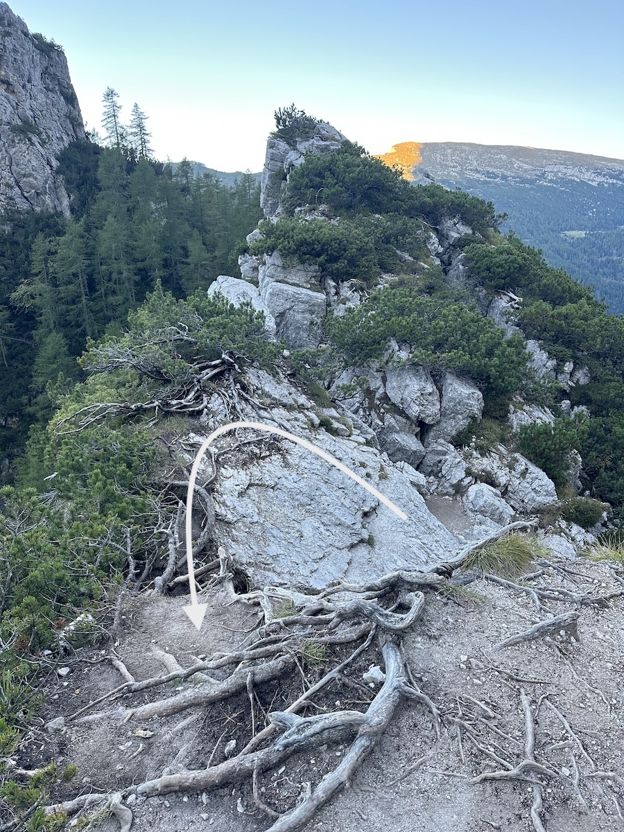
The trail continued down the gravel road for quite a bit before entering the forest. That day, I would hike through boulder fields, scree fields, and forest. On the first scree field, the trail continued upwards towards a “steep and exposed clamber” approaching Forcella Col dell’Orso. It really wasn’t that tricky, steep, or exposed; however, my memory quickly pulled a picture back that I had seen from this section somewhere on the internet.
Steep and Exposed Scramble
The trail ends perpendicular to the ridge. From there, it continues to the left; however, the top of the trail has eroded away. On the right is a large boulder to climb that would bring me up to the height of the trail on the other side. In the middle is a 2-foot-wide section full of dwarf pine roots. The idea was to walk across the roots without falling off the ridge… particularly to the right. I thought, if I’m going to fall… go left as it seemed like the better option. It didn’t feel as exposed as the photo I had seen.
Descending again, I followed the contours of the peaks while hiking next to a fairly steep drop-off. The dwarf pines largely obscured the view of the plunge, so that was nice. Back into the forest for a leisurely hike, I eventually made it to the top of another small forcella. Just on the other side was a bench with a crucifix. A nice spot for a break and a snack.
Rifugio Carestiato
I continued on through the forest, feeling as if I still had a mile or so to hike, and out of nowhere, Rifugio Carestiato appeared. A pleasant surprise! I went in, ordered my usual… double cake with an Americano, sat on the front porch for a bit, then headed down the trail.
From Carestiato, the trail is a dirt road all the way to Passo Duran. Pretty at times but mostly road walking. The water at Carestiato is not potable, but further down there was a spring that I stopped at. Due to impatience and a very slow trickle, I only filled up about 1/2 liter of water before continuing down the road to the pass. That was a mistake.
Quite uneventful really, I made it to the pass. I turned right and continued on the asphalt for the next 1.5 miles or so. The day was really starting to heat up under the sun, and the road walk didn’t help. Fortunately, when I turned into the forest again, the temperature dropped significantly.
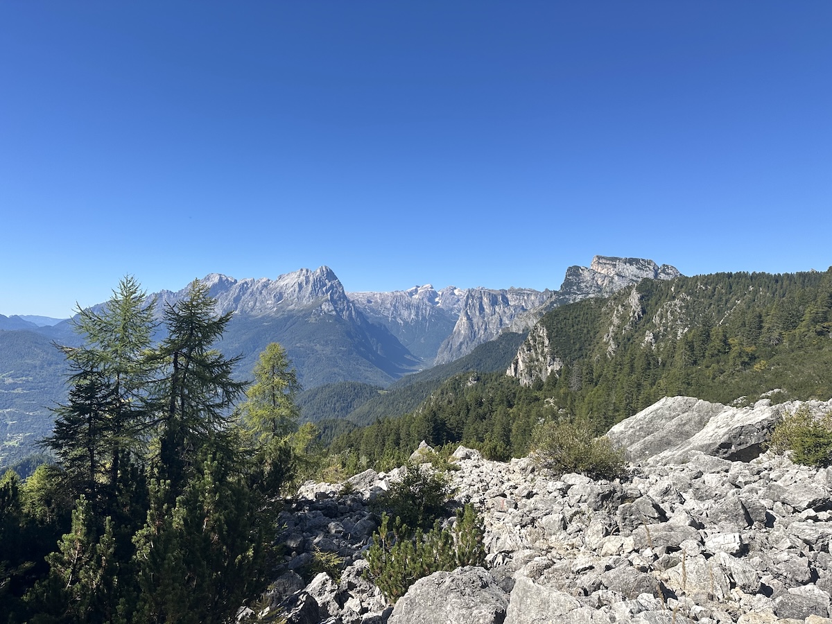
Through the beautiful forest, I approached and went into a boulder field before briefly dipping back into the forest once more. The next opening would be a massive scree field. It must have been a mile long. Quite a sight, walking below the mountains with views into the valley; however, I was under the hot sun and low on water. Twice the trail was sheltered by a small group of dwarf pines, but I was thirsty, hungry, and ready to get through it. The scree field seemed to continue forever. I eventually made it to the end, a short stretch through the woods, and finally an oasis… Malga Moschesin, an emergency shelter with a flowing spring out front.
Malga Moschesin – an oasis from the heat
I rehydrated, found some shade, and cooled off. It wasn’t too far from the rifugio. After a short uphill, I came to an intersection, checked my map, and took the straight option marked by a blue triangle and AV1 marking. I wasn’t quite sure as the signed pole was blowing in the wind and thus had spun around a bit, pointing the arrows in different directions. It felt like a scene out of an old cartoon. Last time I followed the painted AV1 triangle, I had bonus miles… I didn’t want to do that again!
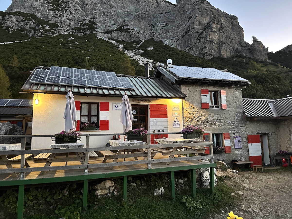
Rifugio Pramperet
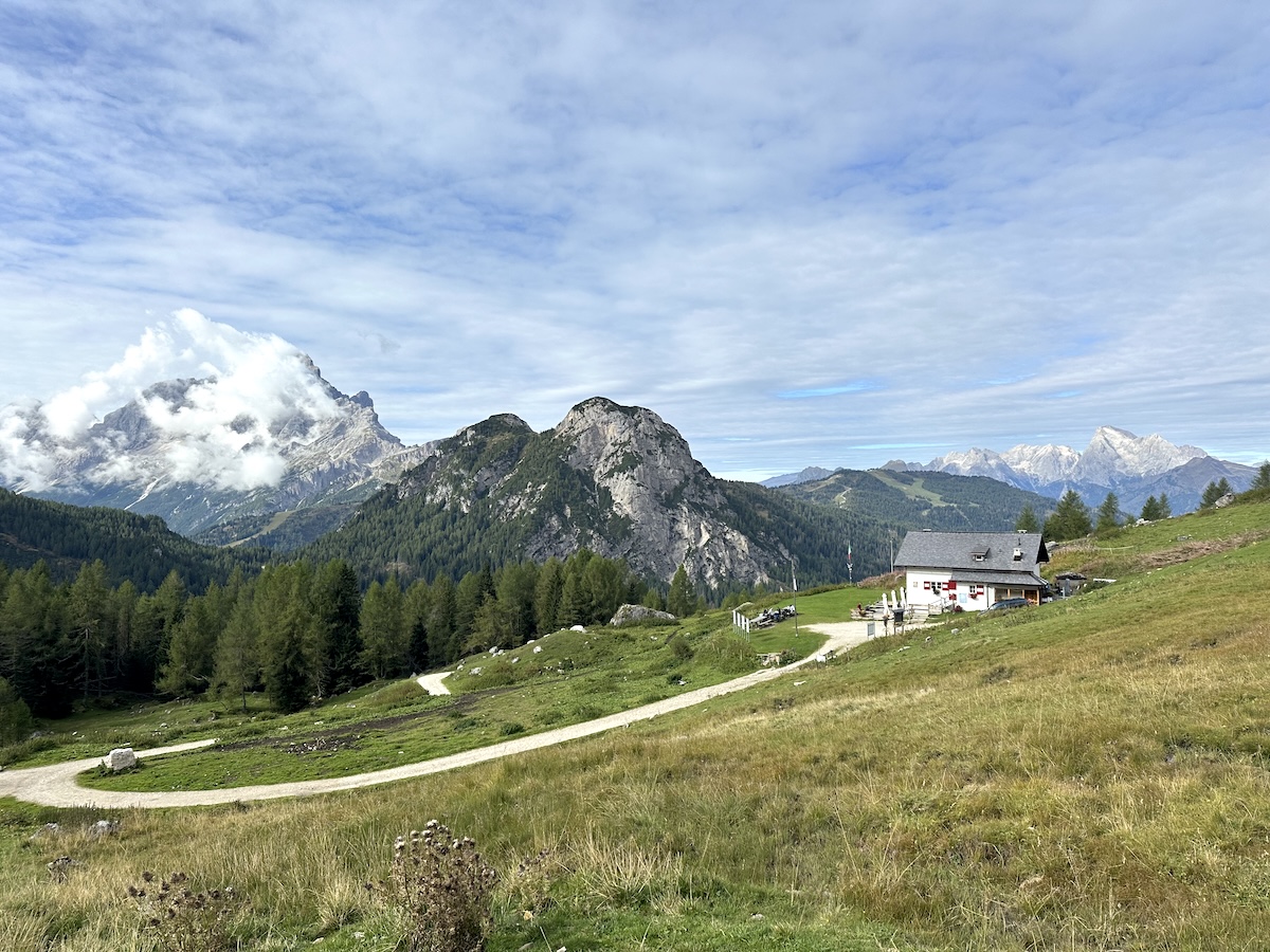
Further down the trail, I found multiple signs pointing me towards Rifugio Pramperet. As I approached the rifugio, the trail opened into a grassy meadow, and I could see the rifugio in the distance. I was there, ready to do my daily chores and relax.
This was the second-to-last day that Pramperet was open. It did feel that way as the food that was served was nothing spectacular… some soup, polenta, and chicken. The dorms were big enough, though, so at least we weren’t stepping over each other like the previous night. There is a front patio, a garden area with additional seating further from the hut, and an enclosed back garden with a few seats.
I hung around, chatted a bit, and went to bed early.
September 20 |
Day 8: Rifugio Pramperet to La Pissa Bus Stop
Distance: 21km | 13mi | Time: 6.5h
Elevation: ^ 956m | 3,136ft
End point: Km 115 | 71Mi
After breakfast, I headed up the mountain. When I first planned this hike, I read through the first 5 stages and nothing else. As the trip went on, I started to read a bit more, and on this stage, the description raised some eyebrows.
An exciting ridge walk
There would be “a near vertical, crest with a little exposure”… “whose flanks plunge crazily to Val de Erbandoi”. I read that paragraph numerous times leading up to this day.
I started up the trail, through the trees, before taking a few switchbacks up to the saddle. It was a cool morning, but this section was quickly warmed by the rising sun. At the saddle, the trail continued left further uphill into a more alpine environment, mostly rock with various small alpine plants scattered through the landscape.
As the trail leveled out, I could see the upcoming switchbacks, saddle, and ridge straight ahead. This was the section I was nervous about for the past 3 days.
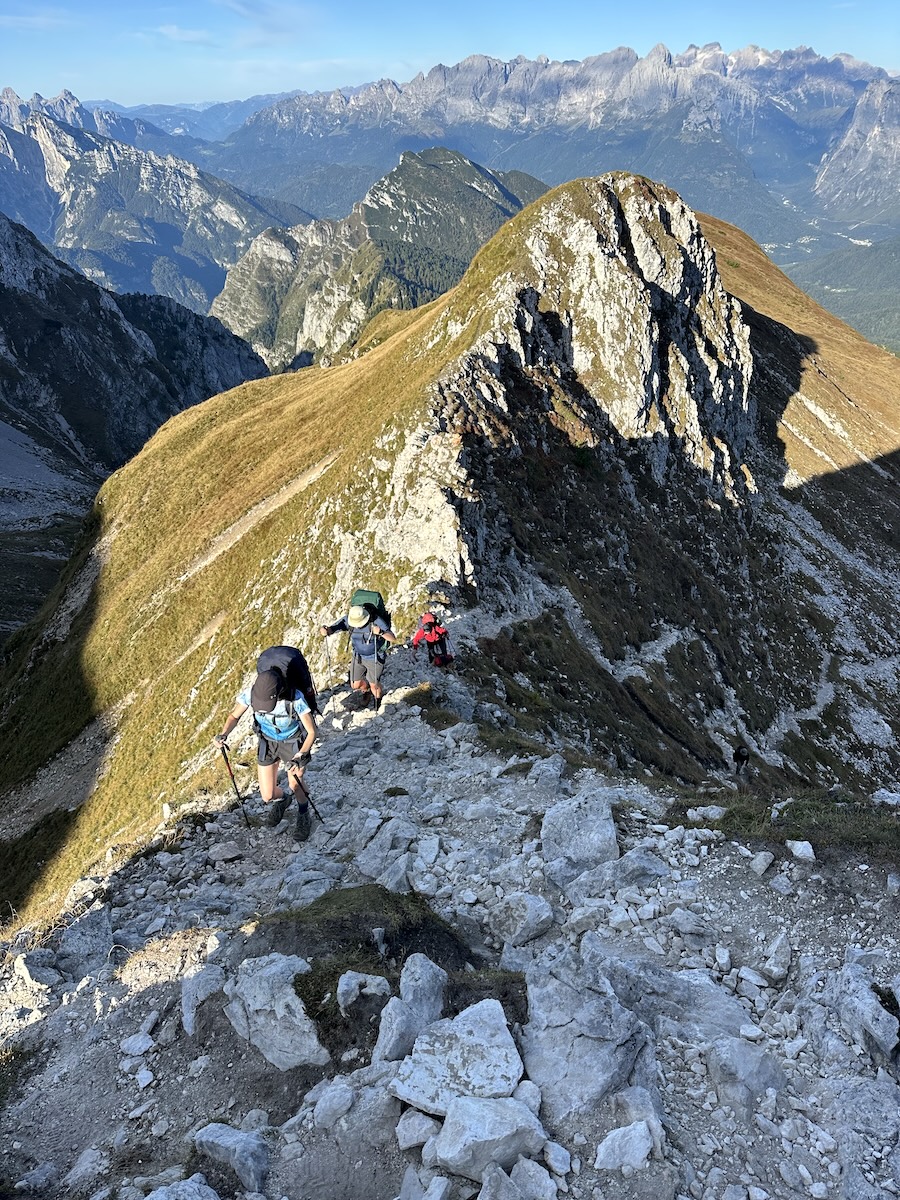
At the top of the switchbacks, the trail turned sharply left up a ridge. It was a little hands-on and the sides dropped steeply… especially on the right. However, it was nearly 6ft (2m) wide… I was expecting a knife’s edge, but it was nothing like that. I quickly went for it, starting on my hands and feet then eventually standing upright and finishing the last little bit.
Cima di Zita Sud – The climax
At the top, the trail continued around Cima di Zita Nord through a well-maintained scree field. I was quickly at the pass. The guidebook highly recommended summiting Cima di Zita Sud, and since it was so close, I went for it. It was a quick jaunt and was full of spectacular views. It felt like the climatic end to the Alta Via 1, standing at nearly the highest point on trail 8,000ft (2450m). I could see other hikers climbing up the ridge I had just hiked and had hoped that someone would join me. At least 10 went by without making the side trip, and I could only think that they were missing out. In my head, I was almost begging them to come join me.
It would be downhill from here. Almost exactly 2000 meters to the bus stop… well, except for the surprisingly noticeable climb just after Rifugio Pian de Fontana.
The guidebook does warn of how steep the descent is. At times, there was hands-on scrambling down some rocks, but mostly it was steep switchbacks meandering through the grassy mountain top. I did what I usually do on extended downhills, and I trail-ran the easier sections. I find it a lot softer on my knees to just go with the flow of the descent instead of fighting with each step.
Pian de Fontana
Eventually, at Pian de Fontana, I ordered two cakes and a coffee. A nice stop to take a break from the sun and rest my legs. Further on the trail, I quickly entered a beautiful forest, and at the creek crossing, came the surprise. There would be a quick 700ft (200m) climb that I was not expecting!
The trail came to a grassy field at a junction before following left around the mountain. There were some steep drop-offs here, although the trail was plenty wide. At one point, I stopped to look down and could see the trail some 1500ft (450m) below. Another steep downhill was coming.
Once at the bottom, I sensed that I was getting close to the Bianchet rifugio as I passed over a black water line hung over a ravine in the forest. I had a reservation here but also had a strong urge to finish the trail. I learned that day that the buses from La Pissa do not run on Sundays… it was Saturday. I had a flight on Sunday, and decided to make a go for it and spend some time in Venice.
After Bianchet, the trail is quite boring to say the least… it’s mostly a forest road with shortcuts here and there. At least it was shaded for a lot of the final 5 or 6k.
The Alta Via 1’s final stairs drop quickly to the road. After a short walk to the bus stop, I decided to give hitchhiking a try instead of waiting 30 minutes for the bus. It was more of a nostalgic feeling than anything as I had hitchhiked all over the US on the long trails.
The Best Hitchhike
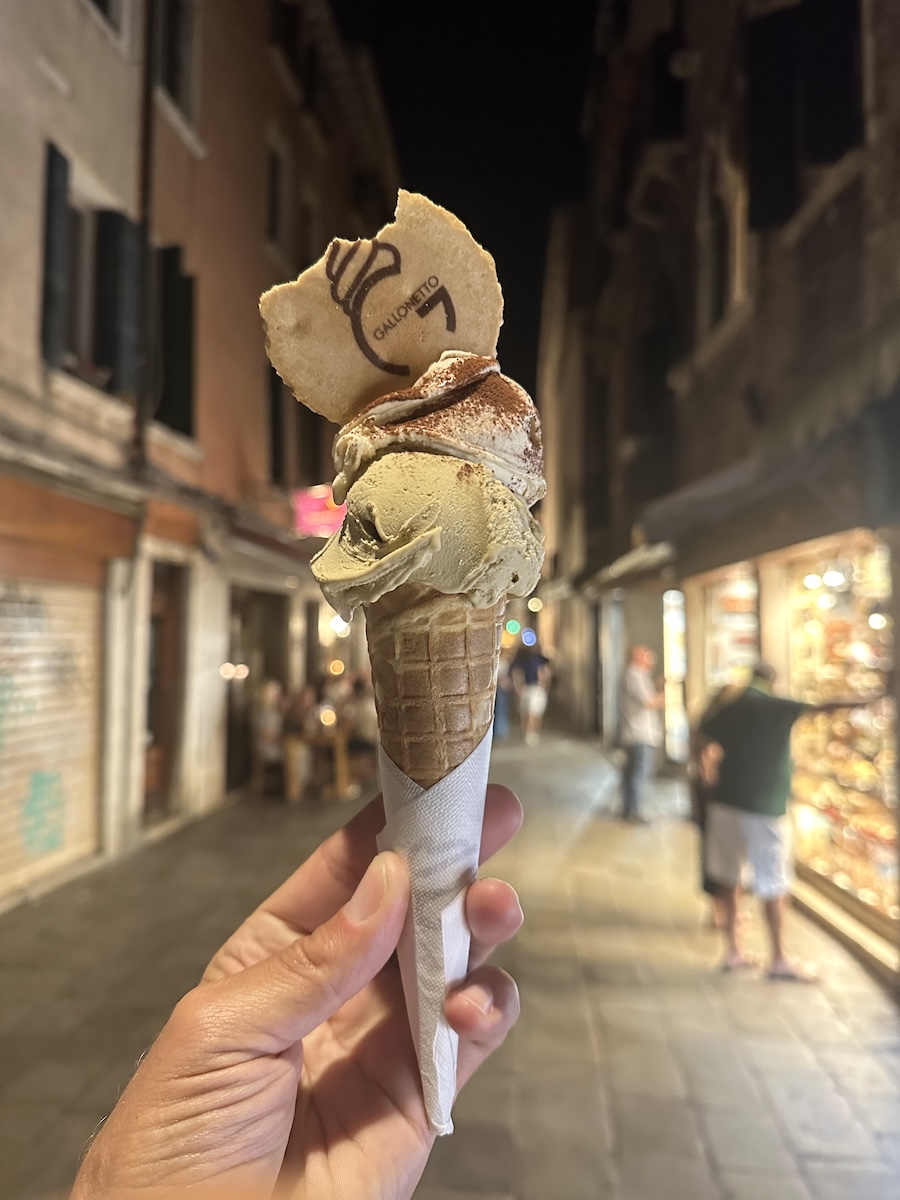
I wasn’t very hopeful, but within 5 minutes, I had a ride from a local guy, my age. He had his two daughters in the car (8, 10). I told him I wanted to go to Belluno and would maybe take the train to Venice. We chatted for a while as his daughters started asking their dad all sorts of questions in Italian… who is this guy? Is he dangerous? Is he drunk? I convinced the authorities that I was safe and showed them a picture of my wife and two young boys. Thankfully, they approved and took me all the way to Mestre! A 10-minute train ride later, and I was on a mission to find the best gelato in Venice.
